

Leicestershire Villages: B
Leicestershire Villages: B

A few months ago I posted pictures and a brief fact or two about the Leicestershire villages starting with ‘A’, as a record of my challenge to visit all the villages in the county. I’ve now finished the 30 ‘B’s too1, so here they are.
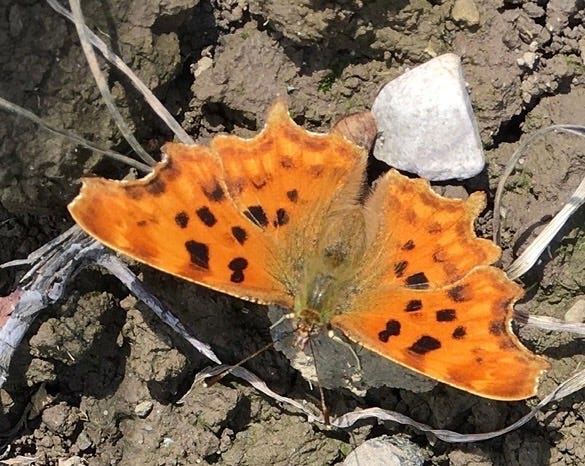
11. Bagworth, to the west of Leicester & south of Coalville. There is no longer a church, but I spotted this magnificent butterfly nearby. When Bagworth Colliery closed in 1991, ending deep coal-mining in NW Leicestershire, it was the oldest in the country, dating back to 1825.
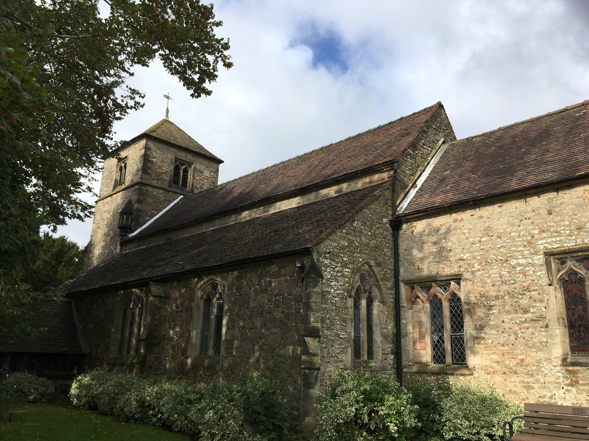
12. Bardon Hill, SE of Coalville, the remains of a Precambrian volcano, is the highest point in Leicestershire. There used to be a quarry workers’ village here, but little remains except the church. The quarry here produces 3m tonnes of crushed rock a year, 15% of UK production.
13. Barkby, five miles north-east of Leicester. The militant suffragette Violet Mary Doudney was born in the village. In 1912 she was imprisoned in Holloway Prison after smashing windows at the home of the Home Secretary Reginald McKenna, went on hunger strike and was force-fed.
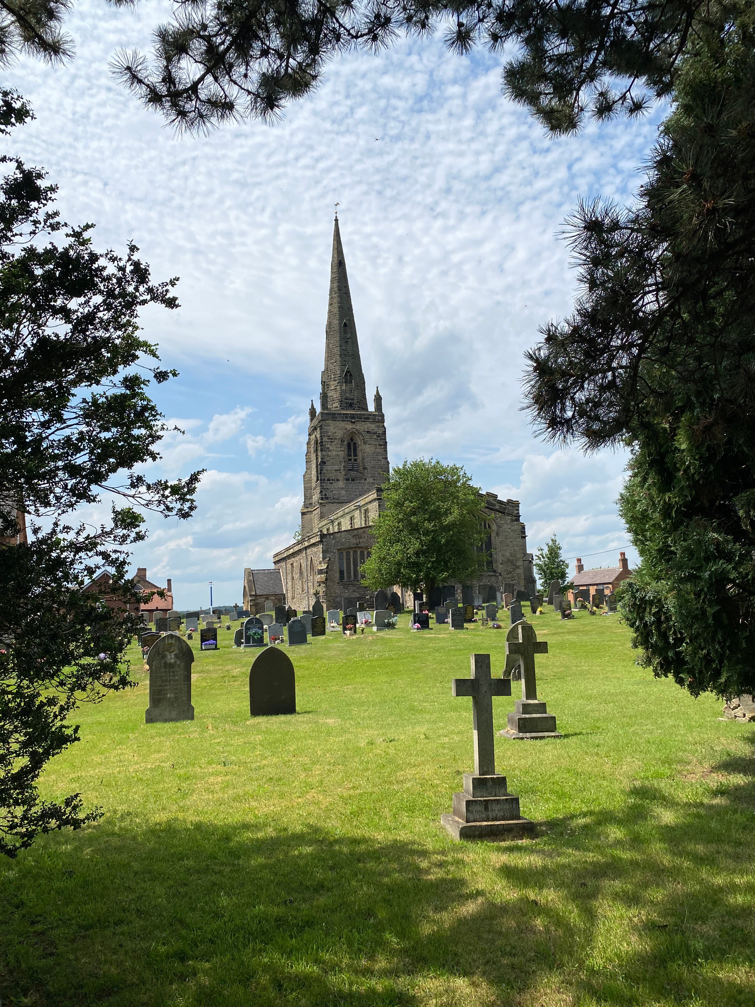
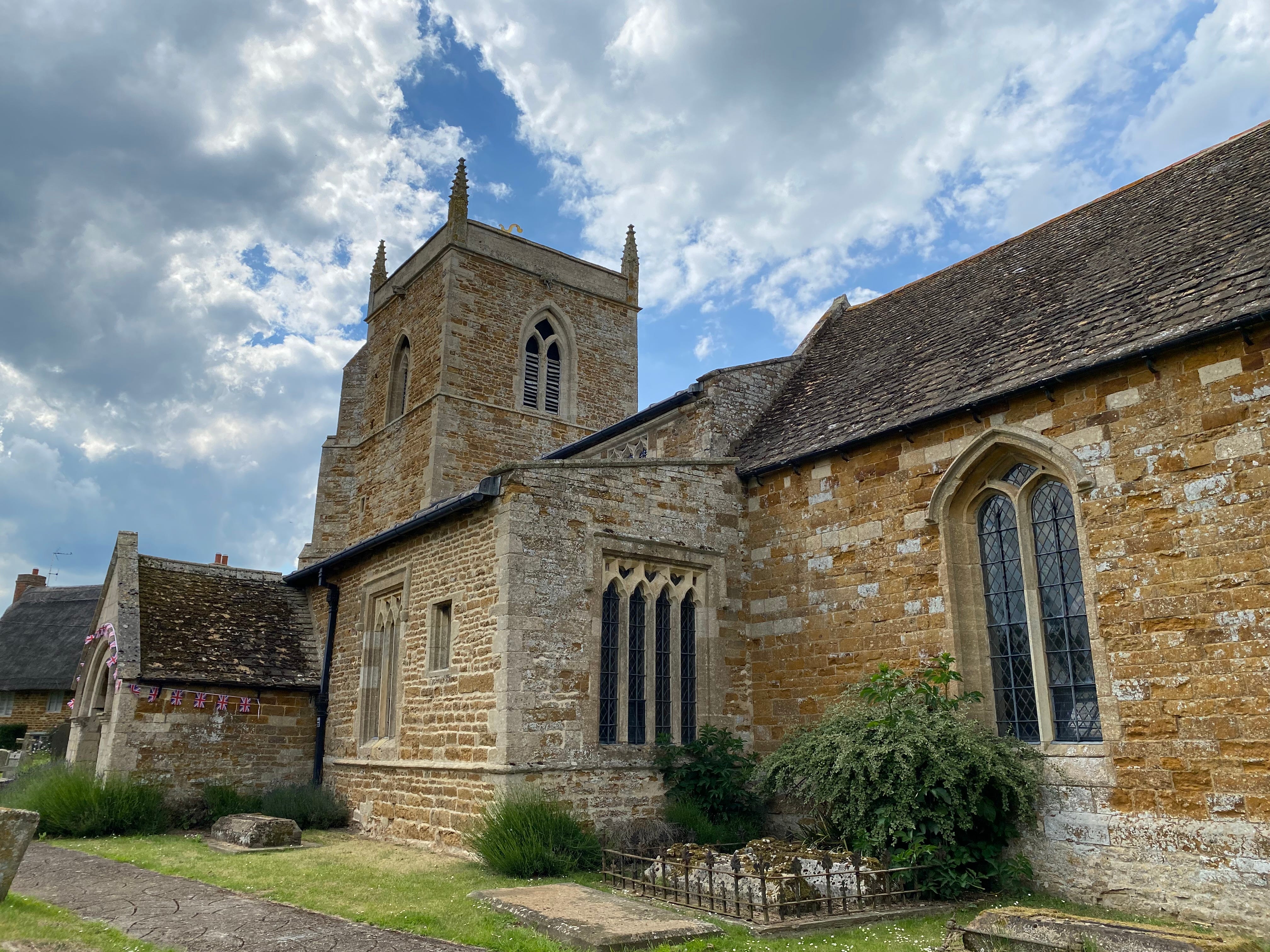
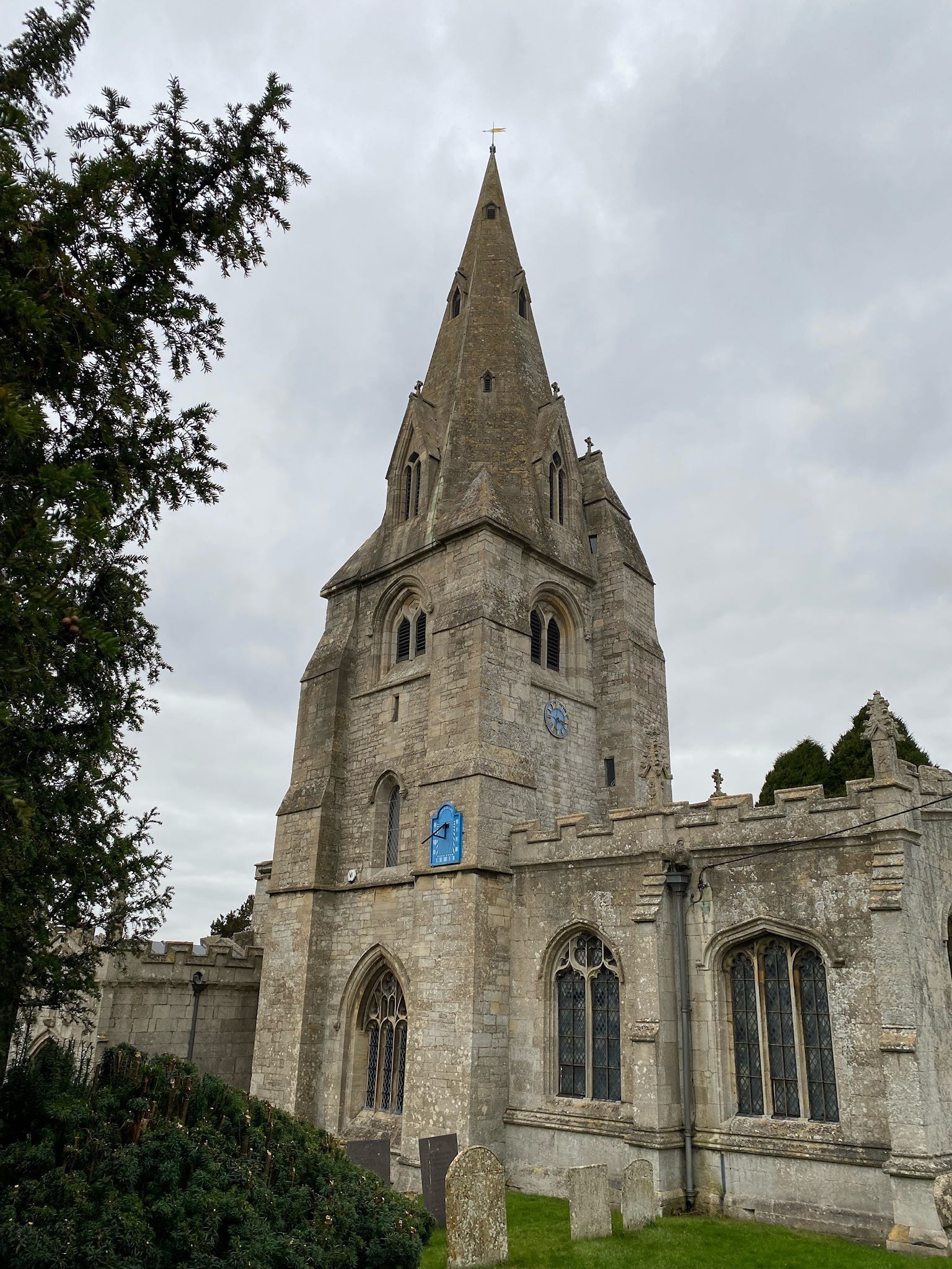
14. Barkestone-le-Vale, west of Belvoir Castle. The village originated in the 7th century, the name meaning “Bark’s farm/settlement". It was therefore well established as a parish by the time of the Domesday Book in 1086. The Church of St Peter and St Paul is mostly 14th century.
15. Barlestone is west of Leicester, and north-east of Market Bosworth. Its name means ‘Berwulf’s farm or settlement’. Coal-miners from nearby pits (for example in Coalville to the north) used to live here - the connection is commemorated by an old pit wheel.
16. Barrow upon Soar, SE of Loughborough. A four-metre, near-complete fossil of a Plesiosaur, which lived 150-200m years ago, was found in a lime pit here in 1851. Named the ‘Barrow Kipper’, it has become a symbol of the village. The fossil is now in Leicester’s New Walk museum.

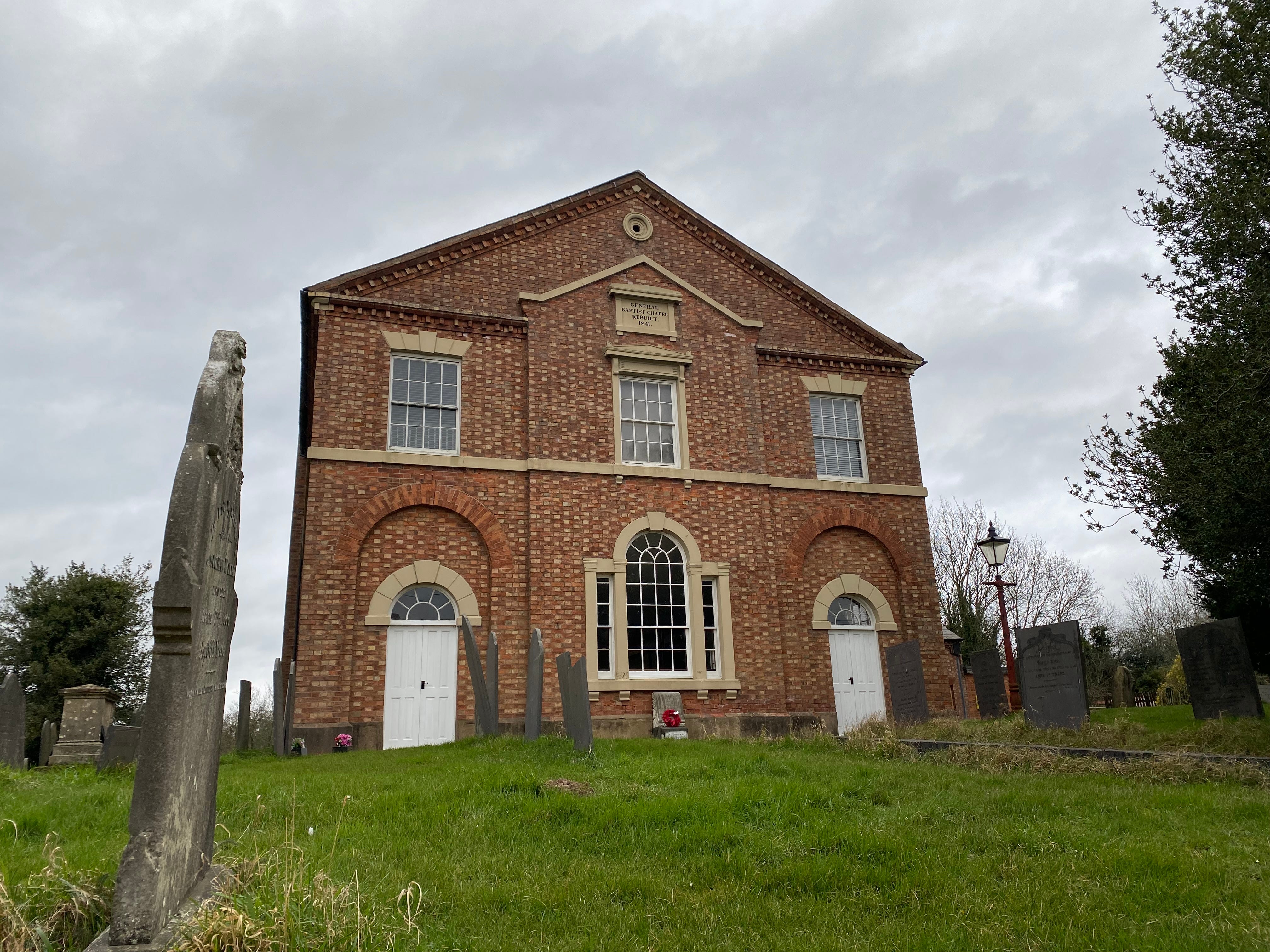
108. Barton-in-the-Beans (officially a hamlet, but a name like that deserves inclusion), N of Market Bosworth. It is located in bean-growing country. Its first Baptist church dated from 1745, & became very influential, its preachers establishing many churches across the Midlands.
17. Barwell, north-east of Hinckley. On Christmas Eve 1965 an unusually large meteorite, the size of a turkey, exploded over Barwell & showered it with fragments, though thankfully no-one was injured. Unrelatedly, former Liverpool & Wigan goalkeeper Chris Kirkland was born here.
18. Beeby, two miles south-east of Barkby (above). The C14th All Saints Church has an unfinished steeple, sometimes called the ‘Beeby Tub’. The legend is that it was not completed becase two stonemason brothers who were building it quarrelled at the top, and both fell off.
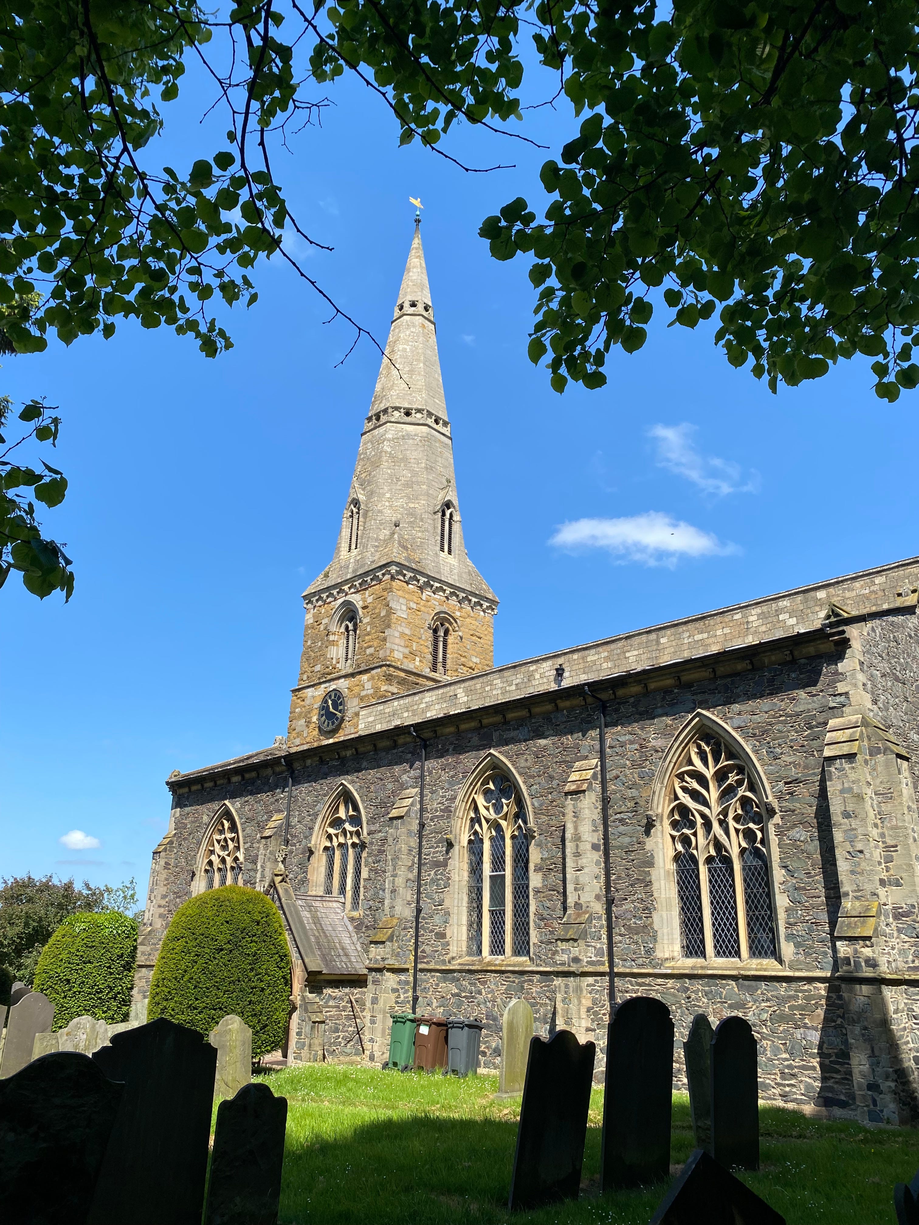
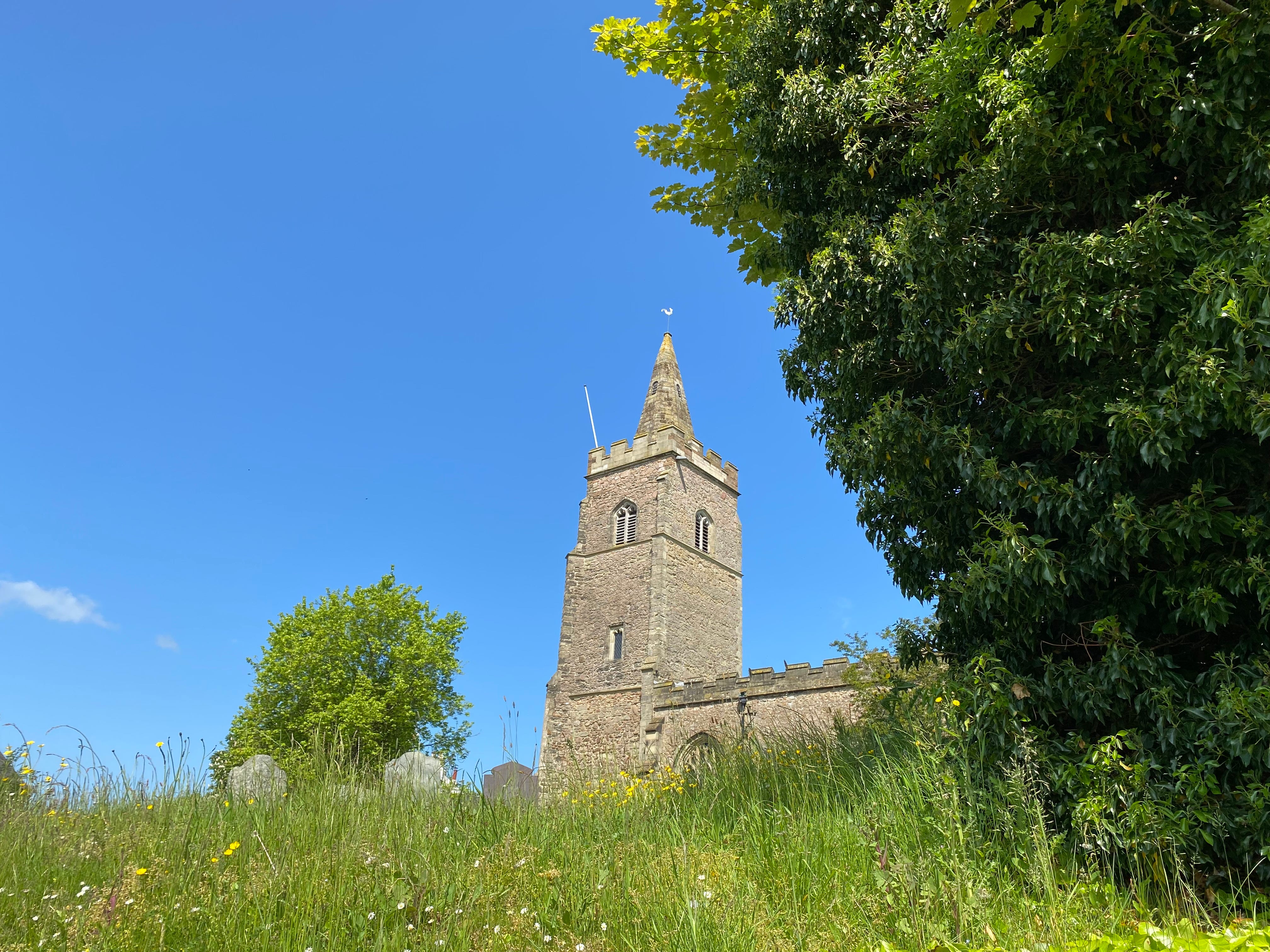
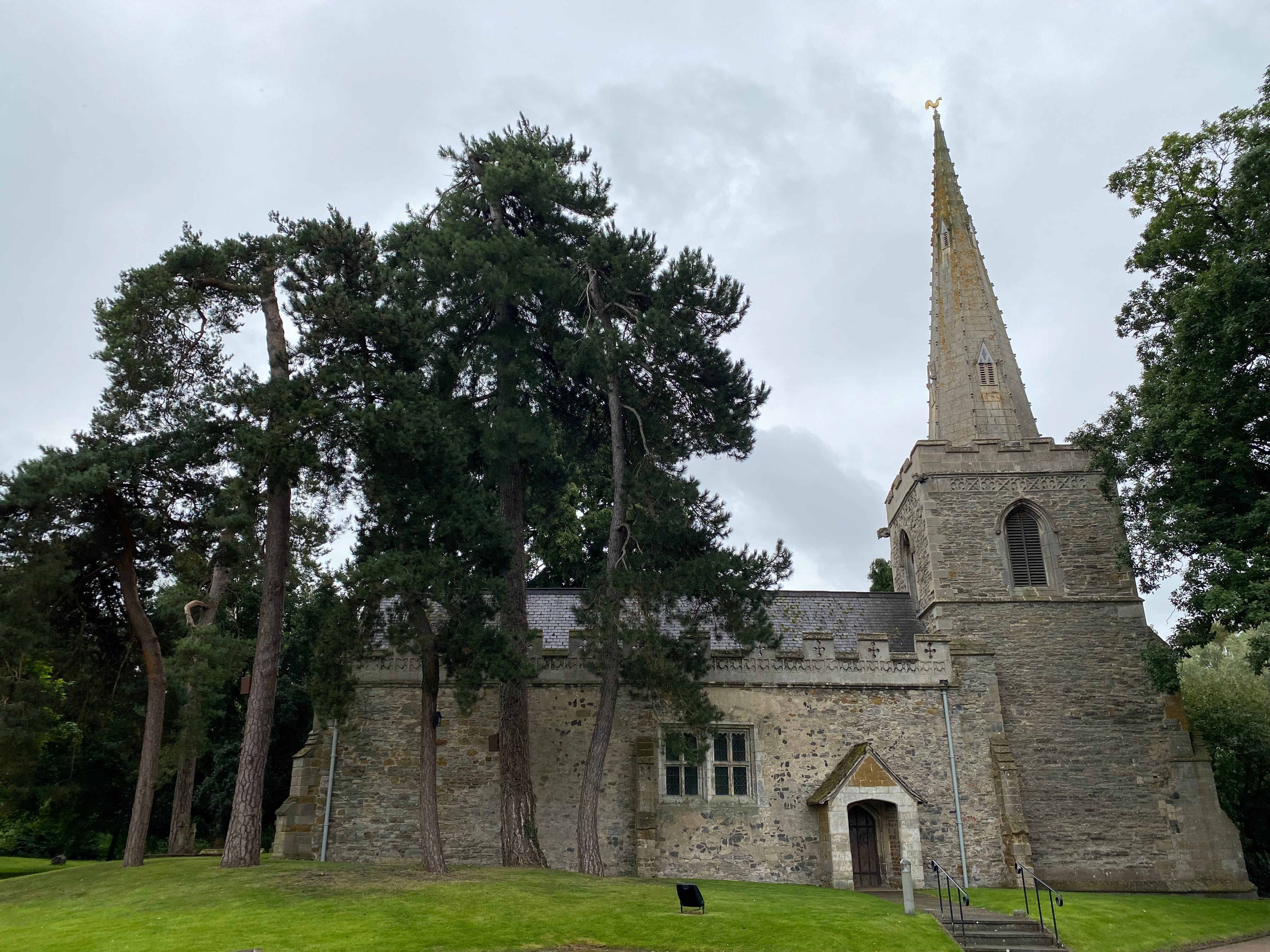
19. Belton, in the NW of the county, west of Shepshed, is one of only three villages in the country to have a permanent maypole, which can just be seen to the left of the church. (Another Belton, some way to the east, was renamed Belton-in-Rutland in 1982 to avoid confusion.)
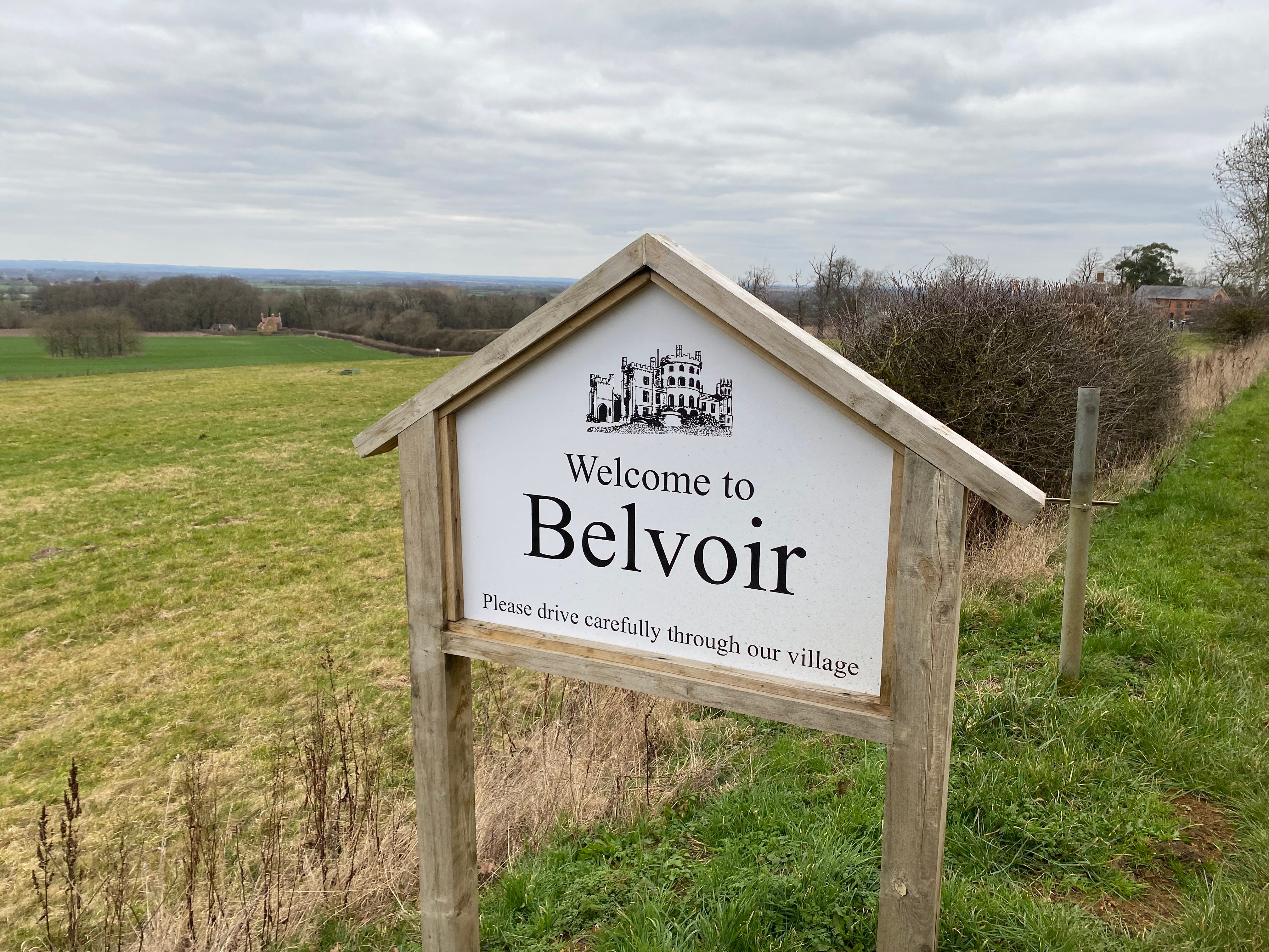
20. Belvoir, in the far north-east of the county, is the site of Belvoir Castle, seat of the Dukes of Rutland. The local Anglo-Saxon population struggled to pronounce the Norman name (meaning ‘beautiful view’), preferring to call it ‘Beaver Castle’ - as it is still known today.
21. Billesdon, a few miles to the east of Leicester. The village's name means either 'the hill of Bil' or a 'sword-shaped hill', indicating a sharp ridge. In the 17th and 18th centuries, even though only a small village, Billesdon had two annual fairs and a weekly Friday market.
22. Birstall, a little north of Leicester. Belgrave and Birstall was a station on the Great Central Railway, which ran into London Marylebone. This drove the growth of the village in the C20th. The Great Central heritage railway has its southern terminus, Leicester North, nearby.
23. Bitteswell, just north of Lutterworth. RAF Bitteswell, to the west of the village, was opened in 1941 & used during & after WWII for bomber operations & training, as well as aircraft assembly, maintenance, & jet engine development. Magna Park business park is now on the site.
24. Blaby, a few miles south of the centre of Leicester. The Blaby Special, a variety of red-fruited tomato, originates from and was grown in the village until just after World War II. They were believed to have become extinct but were rediscovered in America in the early 2000s.
25. Blackfordby, NW of Ashby-de-la-Zouch, apparently named after a black ford where a brook crosses the main street after flowing over a coal outcrop. An ancient spring, near the church, has never been known to dry up, and was the village’s main source of water until the 1930s.
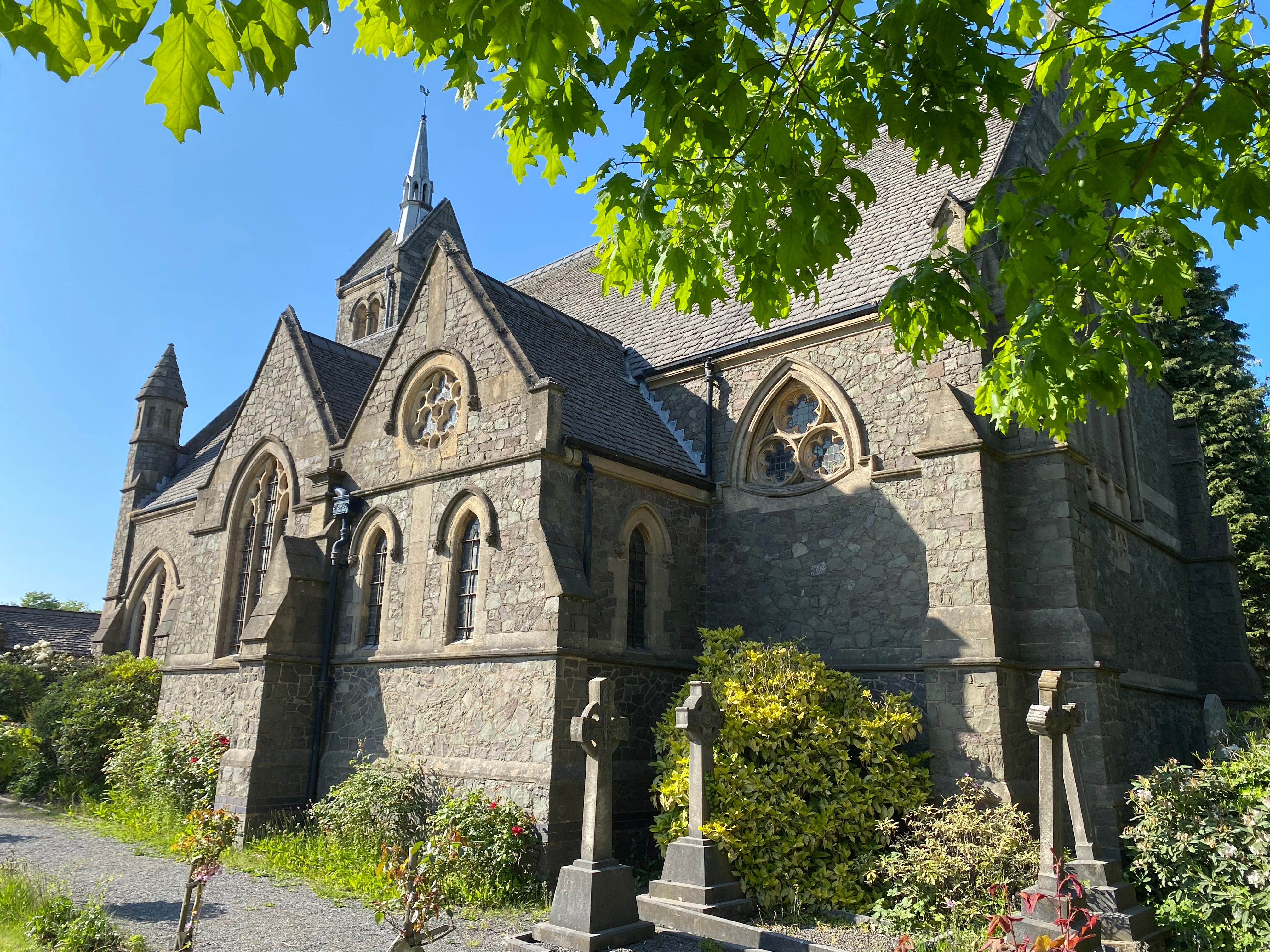
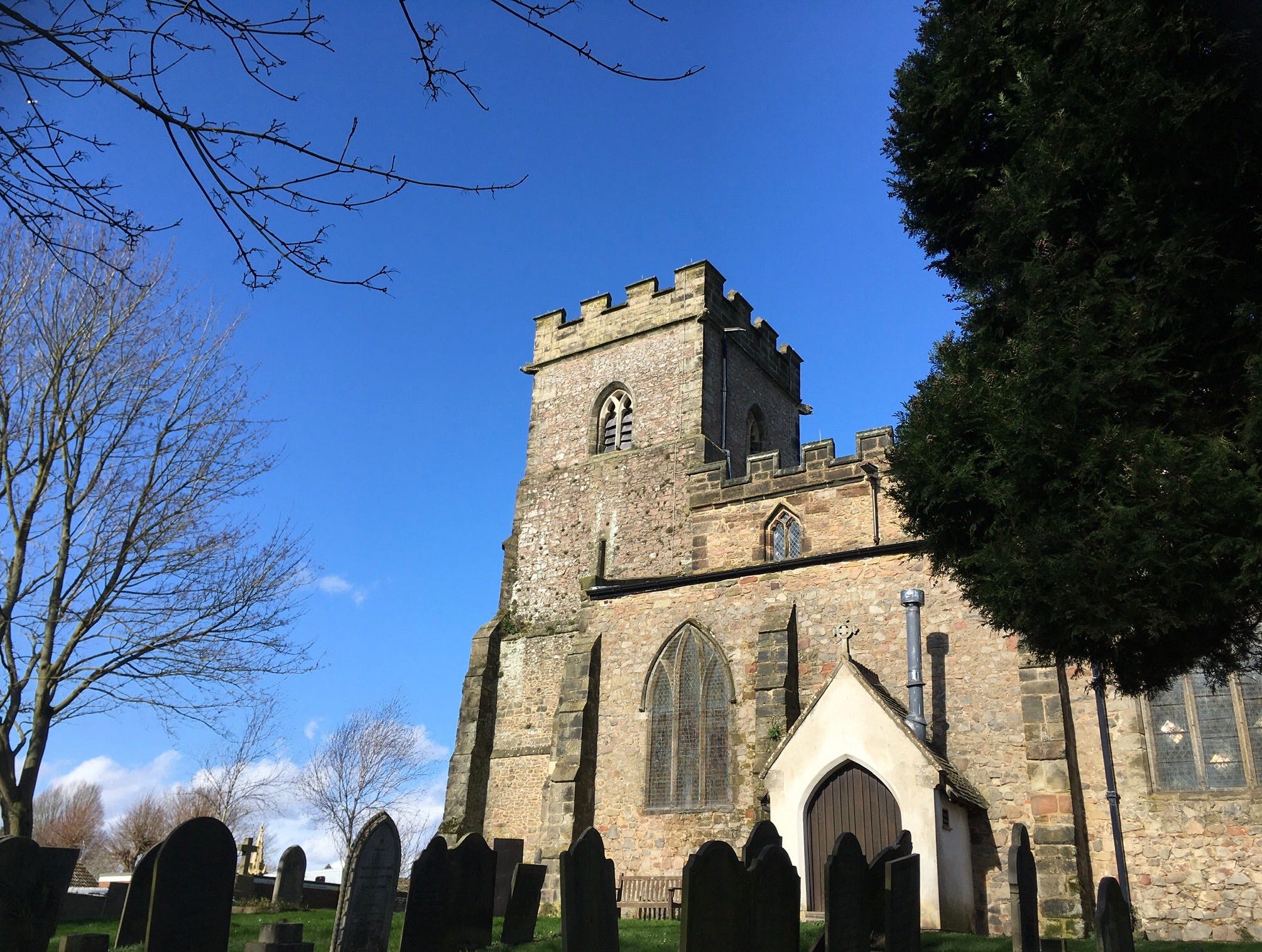
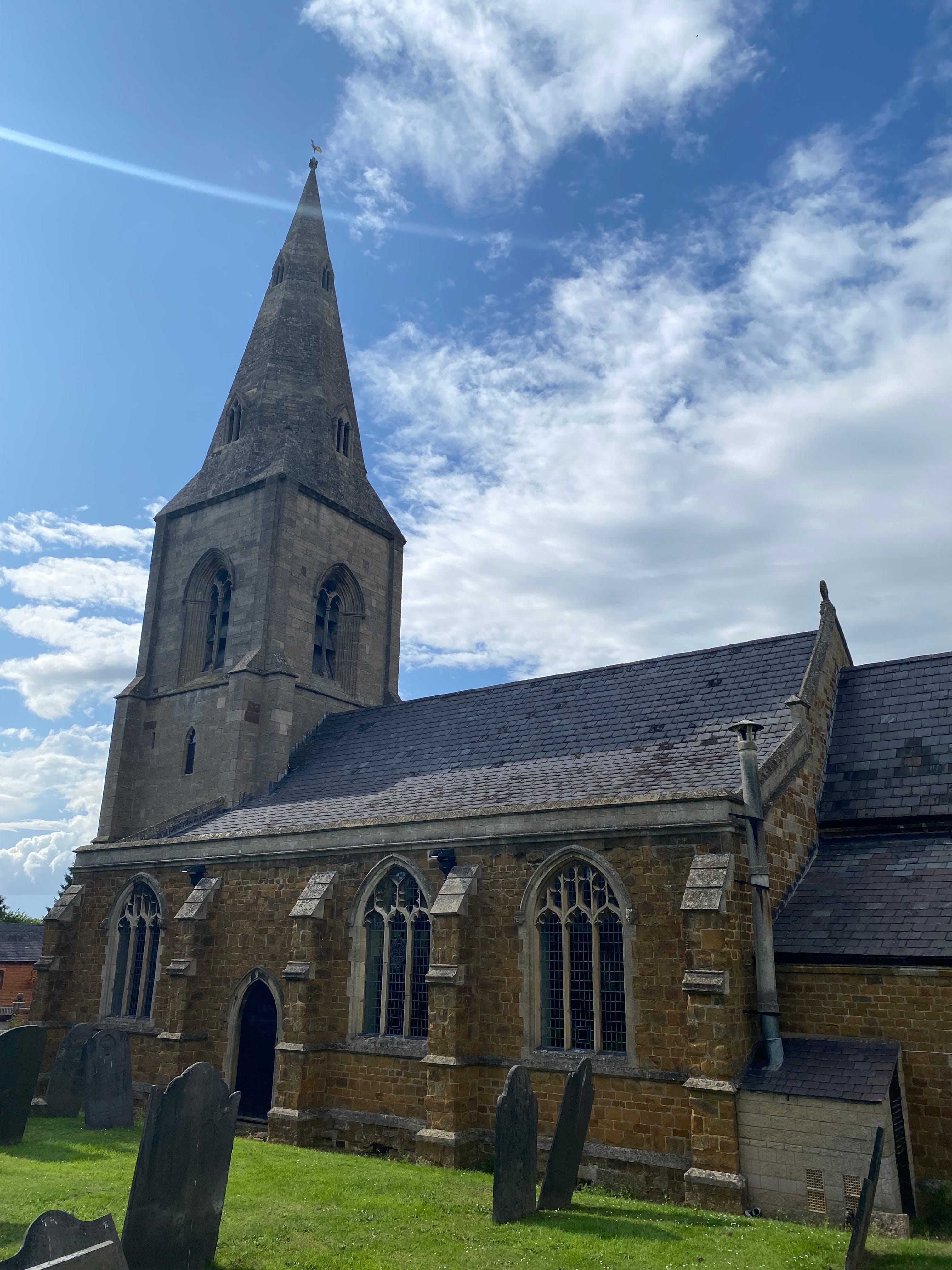
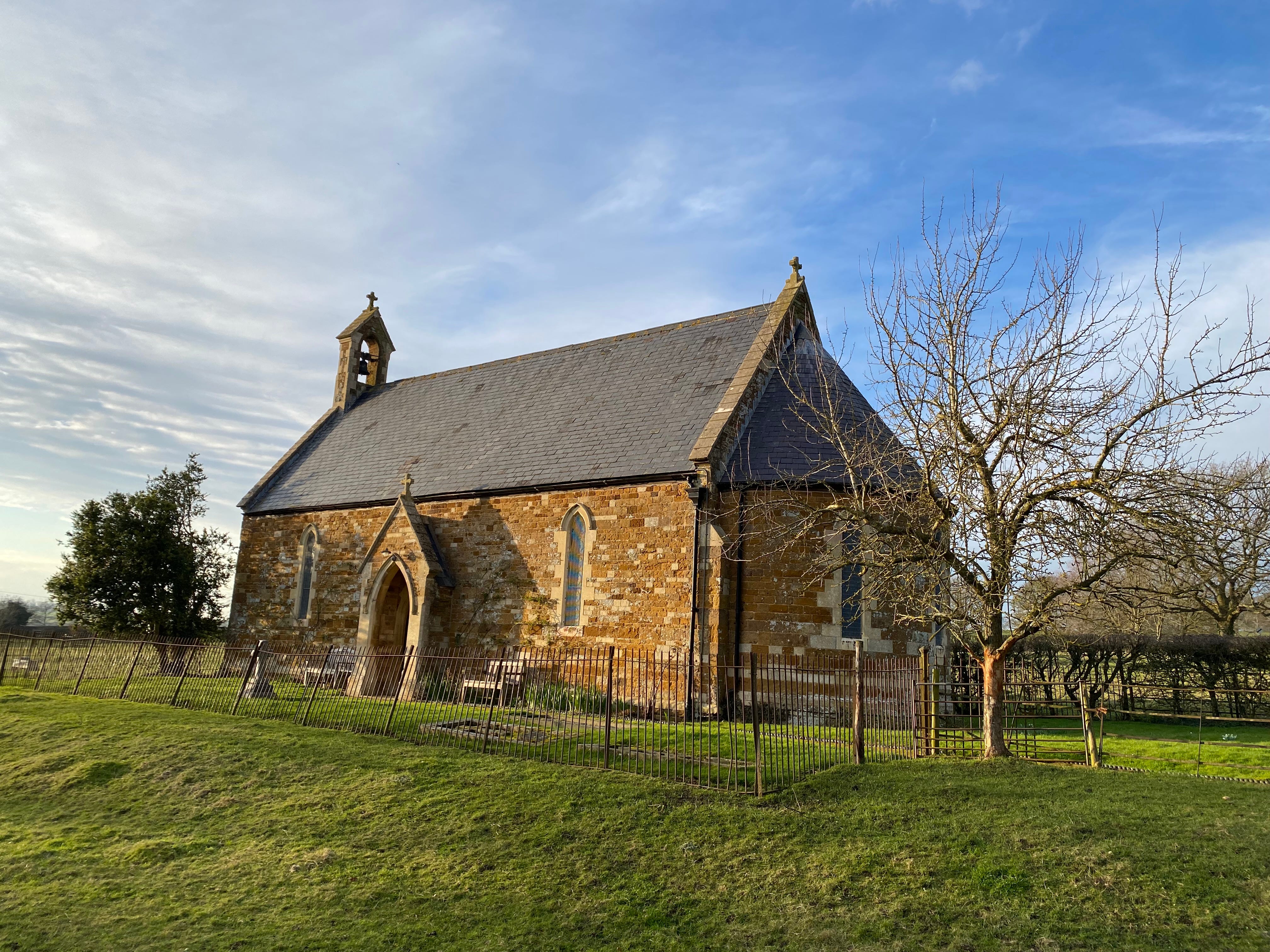
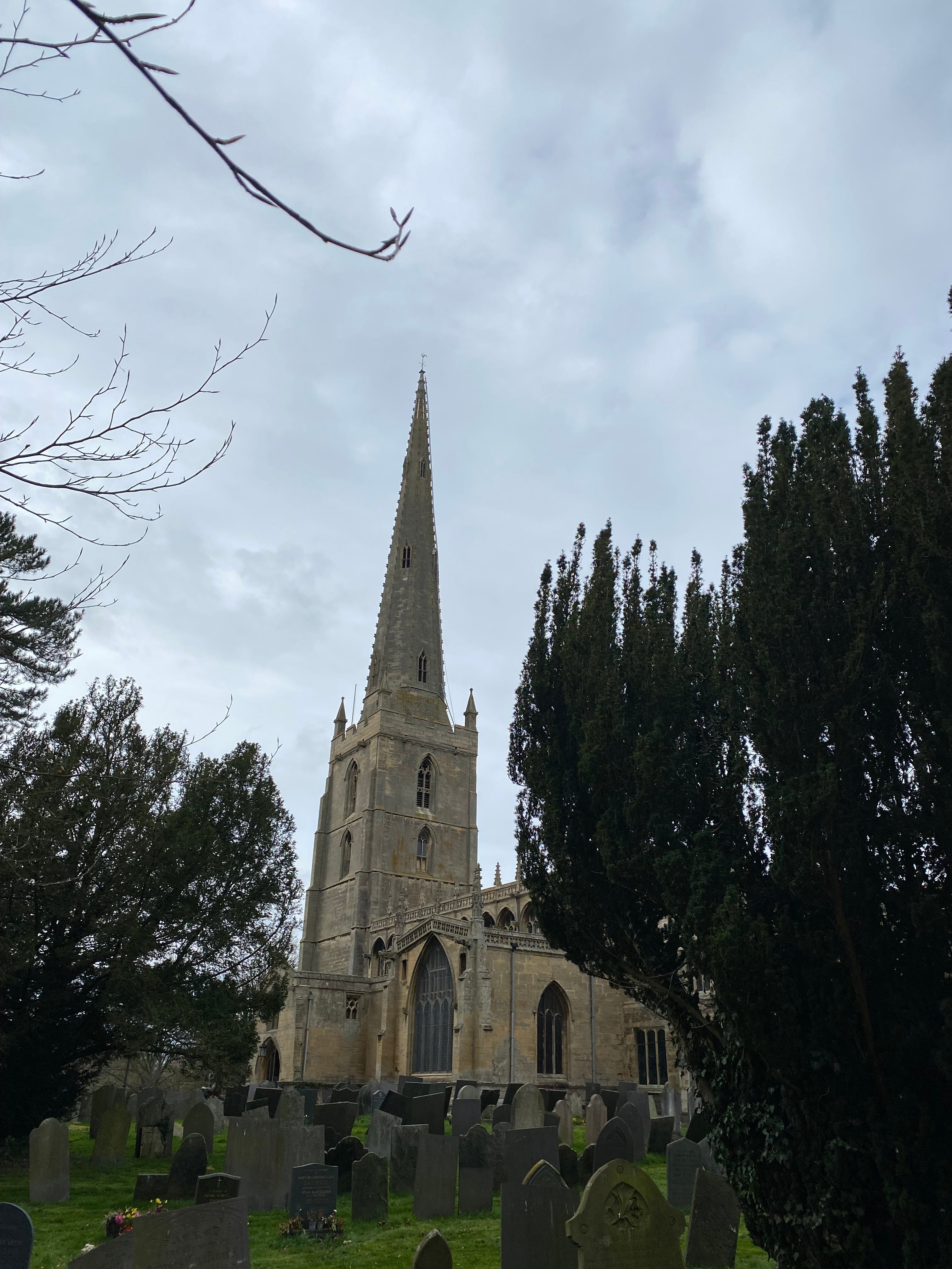
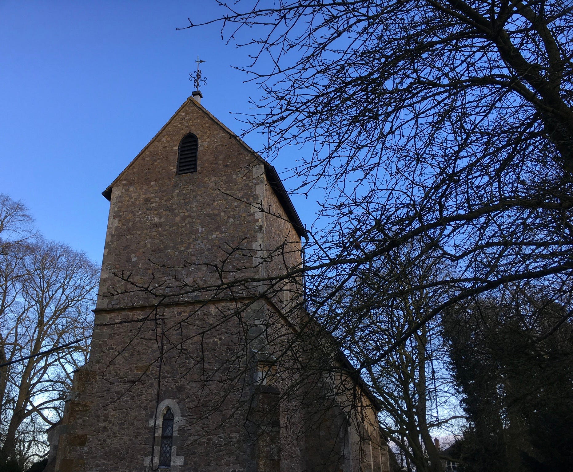
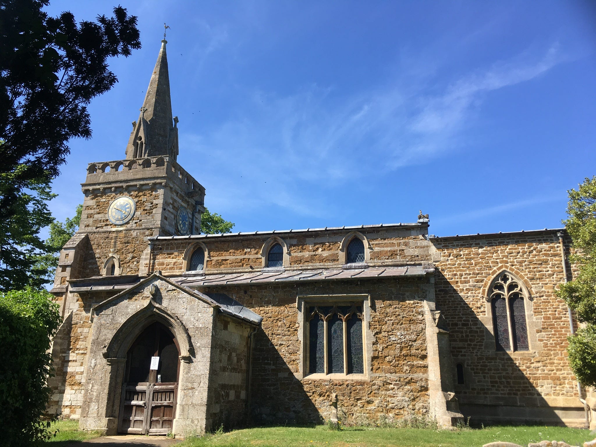
129. Blaston, north-east of Market Harborough. This tiny village once had two chapels: St Giles’, pictured here, was rebuilt in 1878, & St Michael’s, a little to the east, is now derelict. In 1538 Henry VIII granted Blaston to Thomas Cromwell, but shortly after that had him beheaded.
26. Bottesford, in the far north-east of Leicestershire. Laurel and Hardy visited the village in the early 1950s, when Stan Laurel’s sister, Olga, was landlady of the Bull pub. The last Luftwaffe raid on England in WW2 was at RAF Bottesford, north of the village, in March 1945.
27. Branston, north-east of Melton Mowbray. For a few decades of the C20th, iron ore was quarried near here, and taken by steam engines on a narrow-gauge tramway west to meet up with a (long since gone) branch of the mainline railway.
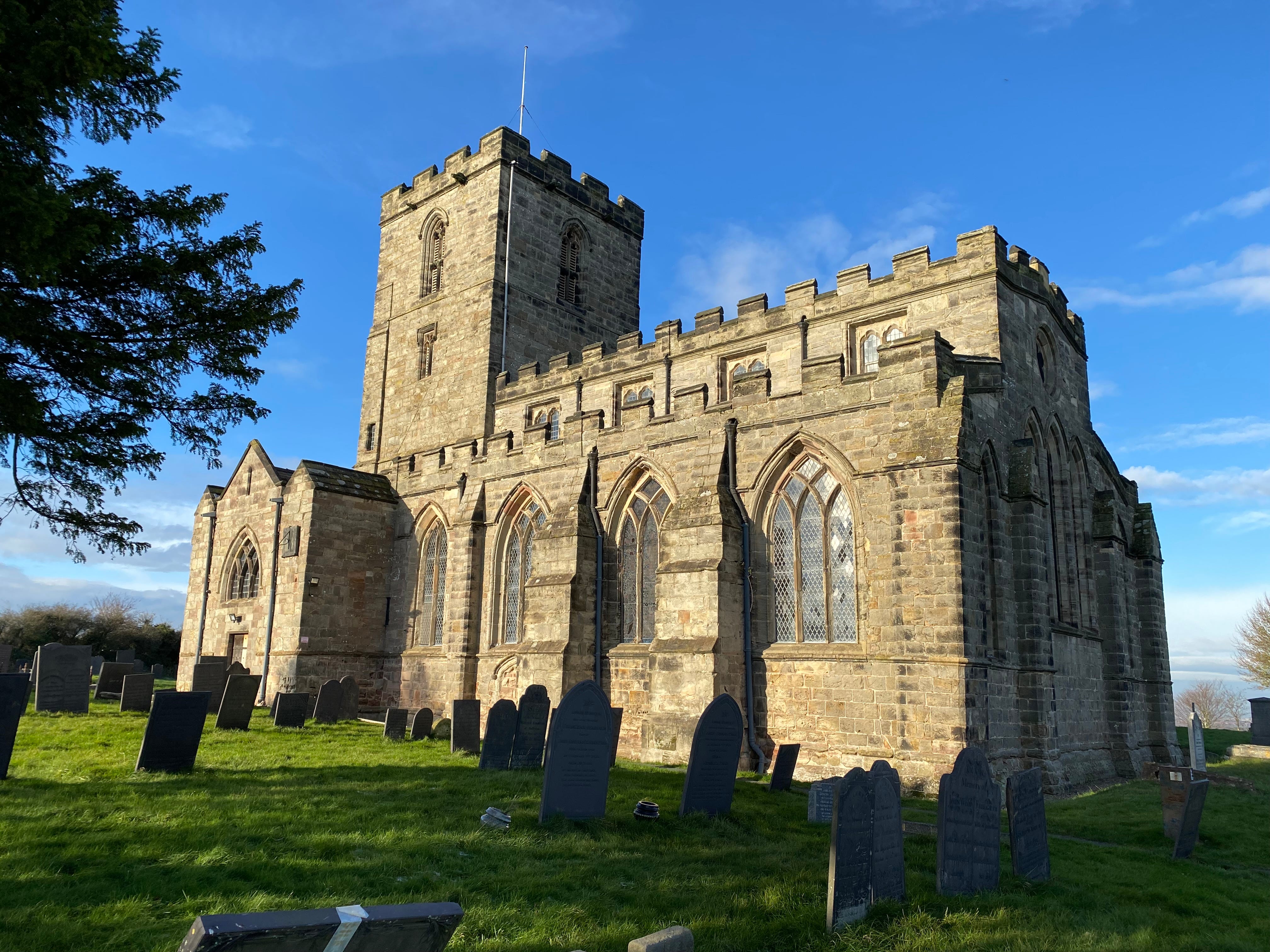
28. Breedon on the Hill, on the Derbyshire border NE of Ashby-de-la-Zouch. ‘Bre’ (Celtic) and ‘dun’ (Old English) both mean ‘hill’, so the village is three times a hill. The church was originally a monastery founded in the C7th on the site of the Bulwarks, an Iron Age hill fort.
29. Bringhurst, in the far south-east corner of Leicestershire, is the site of a ring-shaped Saxon settlement, Bryni's Hurst, which was founded (probably in the early C6th) on top of an isolated hill rising above the Welland flood plain. St Nicholas’ Church dates from the C13th.
30. Brooksby, west of Melton Mowbray. All that survives of the village are the church and Brooksby Hall, now part of Brooksby Melton College. It was ancestral home of the Villiers family, including James I’s favourite George, Duke of Buckingham, & Barbara, mistress of Charles II.
31. Broughton Astley, north of Lutterworth, is supposedly one of the largest villages in England. At the time of the Domesday Book there were three settlements, Broctone, Sutone & Torp. Broctone became Broughton, & Astley was taken from the family name of the Lords of the Manor.

32. Bruntingthorpe, north-east of Lutterworth. Nearby Bruntingthorpe Aeordrome, with its 10,000ft runway, was established during WW2 as an RAF base, and was occupied by the US Air Force in the late 1950s. It is now used, among other things, for vehicle testing.
33. Buckminster, east of Melton Mowbray on the border with Lincolnshire, is 500ft above sea level. In the C16th there was a beacon here. In the mid-C20th, land near the village was quarried for ironstone. During the Cold War, it had an underground nuclear monitoring bunker.
34. Burbage, just south of Hinckley, was the birthplace of John Cook (1608-1660), who led the prosecution of Charles I and became the first Solicitor General of the English Commonwealth. Following the Restoration in 1660, Cook was convicted of regicide and publicly executed.
35. Burrough on the Hill, south of Melton Mowbray. Nearby Burrough Hill is a well-preserved Iron Age hill fort, standing on a steep-sided ironstone promontory, and surrounded by a ditch and ramparts. It is likely the site was still in use during the Roman occupation of Britain.
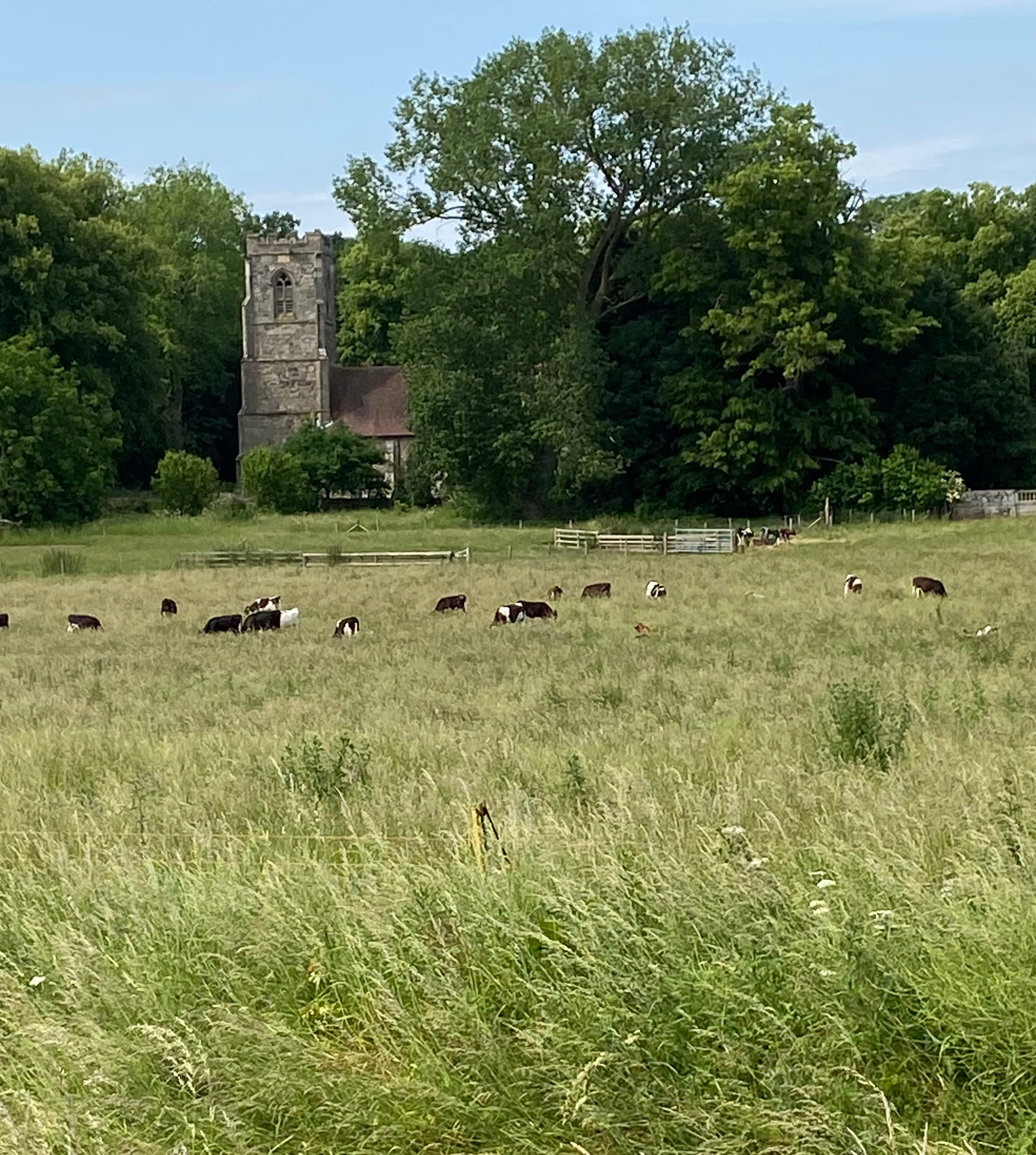
36. Burton Lazars, just south-east of Melton Mowbray. The village has a natural sulphurous spring, which may have led the Order of St Lazarus to site a leprosy hospital nearby in the C12th. The Order made the hospital its English headquarters, and lent its name to the village.
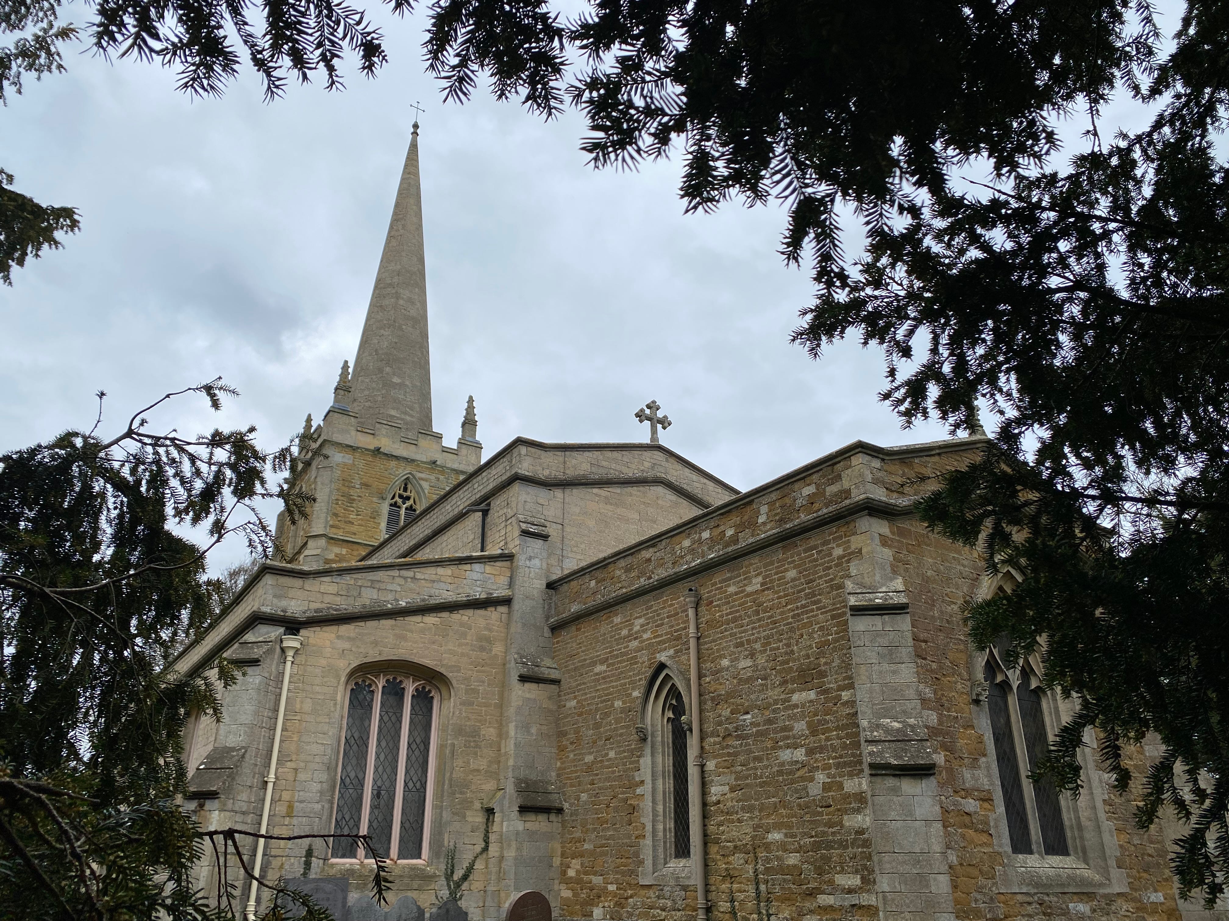
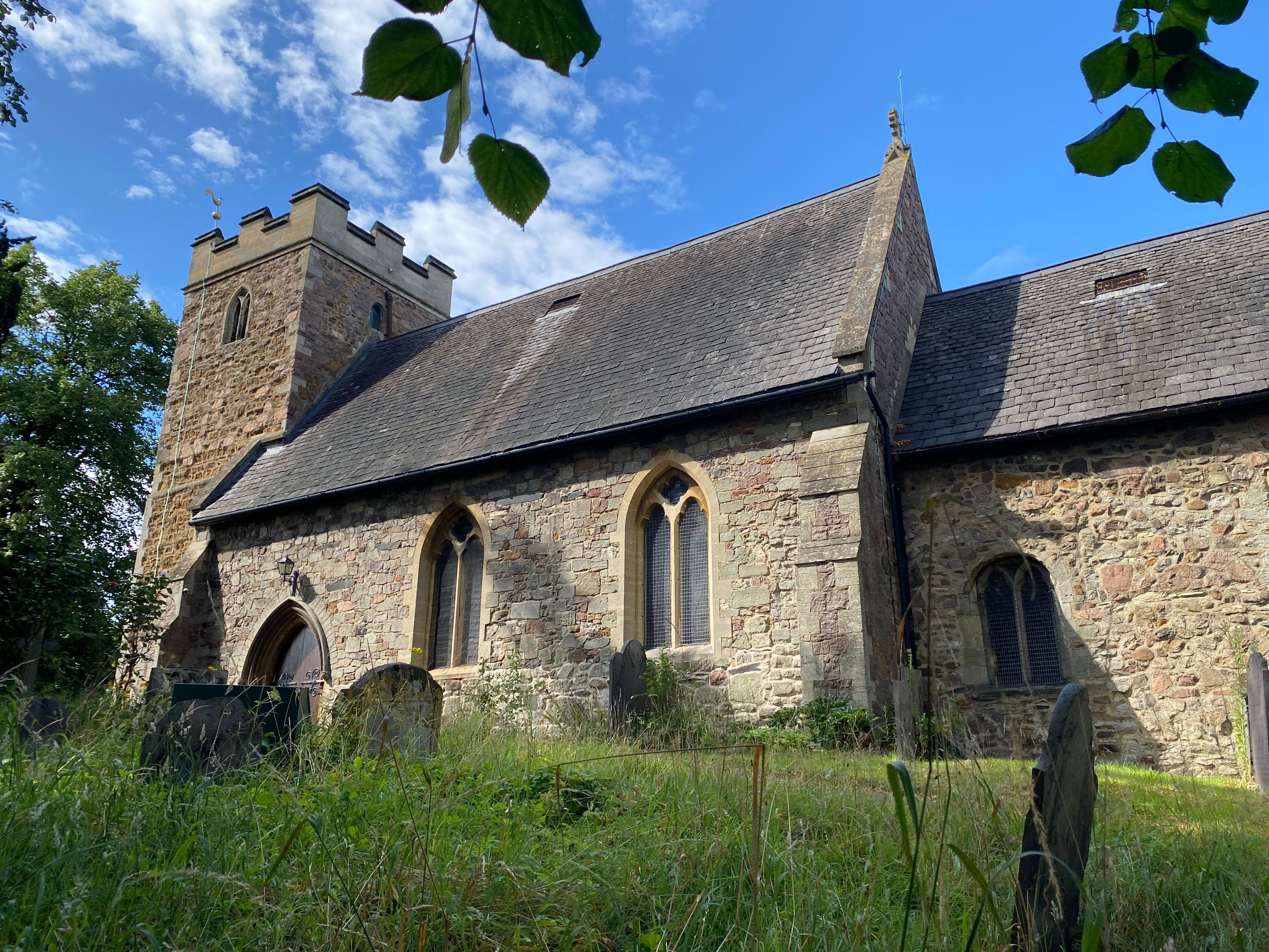
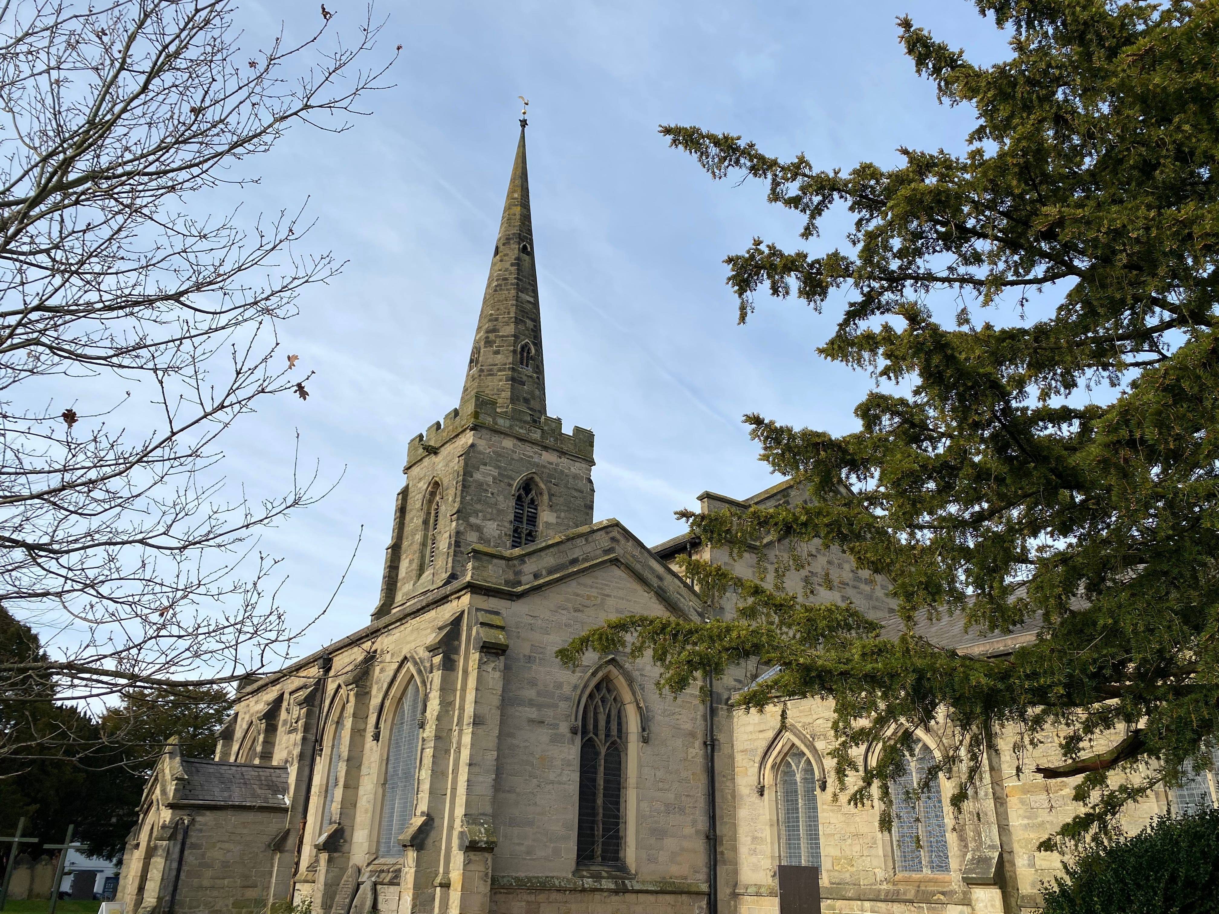
37. Burton on the Wolds, east of Loughborough (which unusually for a village this size has no church, but here is the one at nearby Prestwold). After WW2, huts at nearby Wymeswold Airfield were use to provide accommodation to Polish refugees, with c400 Poles living there in 1951.
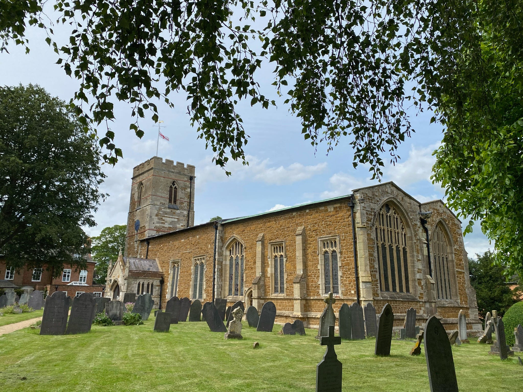
38. Burton Overy, south-east of Leicester. This name has been subject to the linguistic process of metanalysis: just as ‘a napron’ and ‘a nadder’ evolved into ‘an apron’ and ‘an adder’, the ‘Overy’ in the village’s name derives from de Noveray, a C13th family who held lands here.
Sadly there are more the seven ‘C’s, but I’ll post the link to them here in due course.
I’ve edited the post to add in two late entries I missed first time round. You can easily tell which ones because they’re numbered out of sequence.