


Leicestershire Villages: D and E

There are 16 villages in Leicestershire beginning with ‘D’ or ‘E’, and over the last few years I’ve walked to or from all of them, so here’s a snippet about each. (For those who missed them, the ‘A’s are here, the ‘B’s here and the ‘C’s here.)
61. Dadlington, north of Hinckley. The Battle of Bosworth Field (1485) was fought north-west of the village, and the bodies of the fallen were brought to St James’s Church for burial. In 2015 Richard III's remains returned here on their last journey before reburial in Leicester.
62. Desford, west of Leicester. The manor of Desford was held by Simon De Montfort until his death at Evesham in 1265, & was then given by Henry III to his son, Edmund Grouchback, Earl of Lancaster: the start of the Lancaster estate, now owned by HM The King as Duke of Lancaster.
63. Diseworth, just south of East Midlands Airport. In the early C16th, Lady Margaret Beaufort, mother of Henry VII (who defeated Richard III at Bosworth) endowed Christ’s College Cambridge with (among other things) lands at Diseworth, which the college owned until it sold them in 1920.
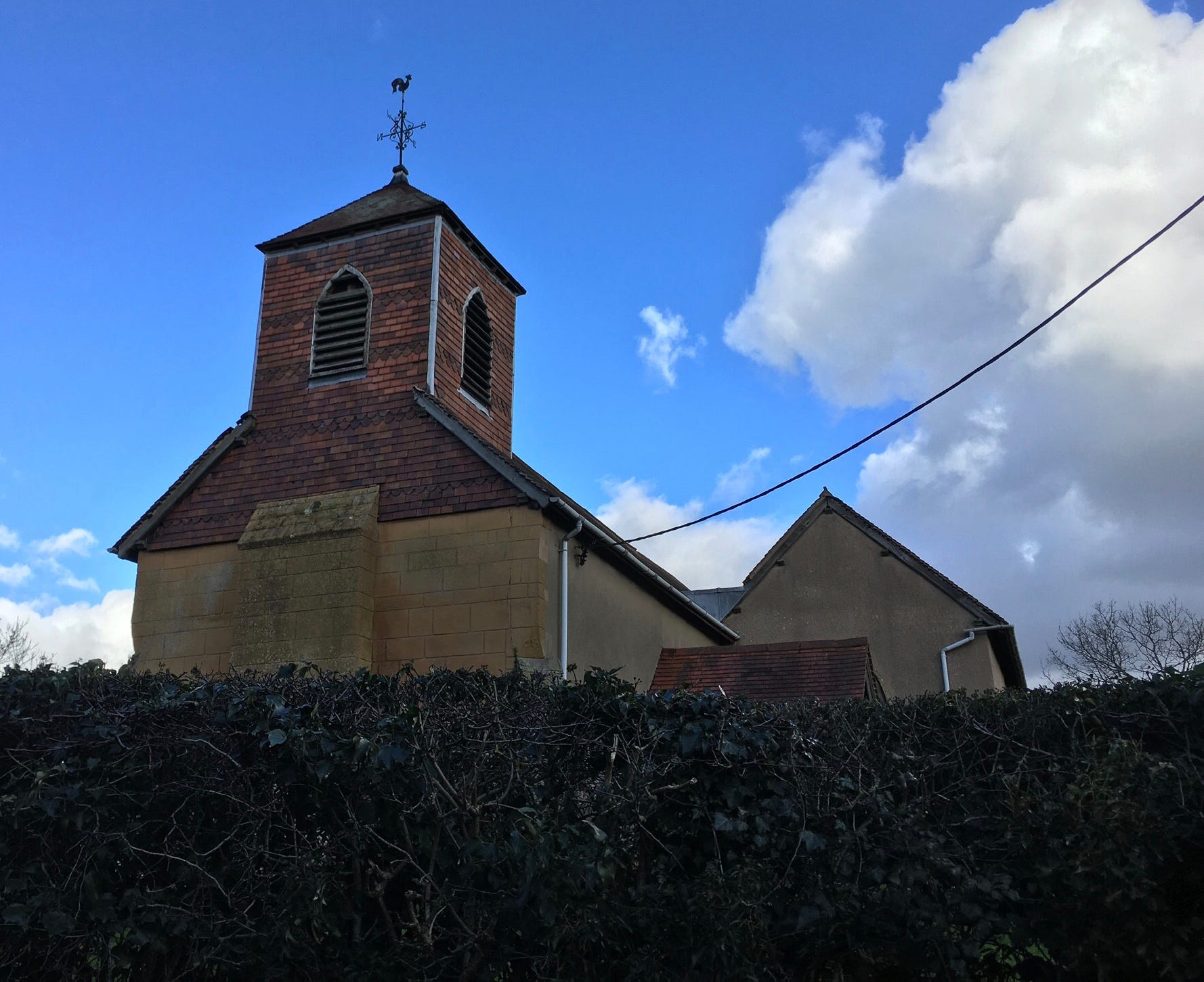
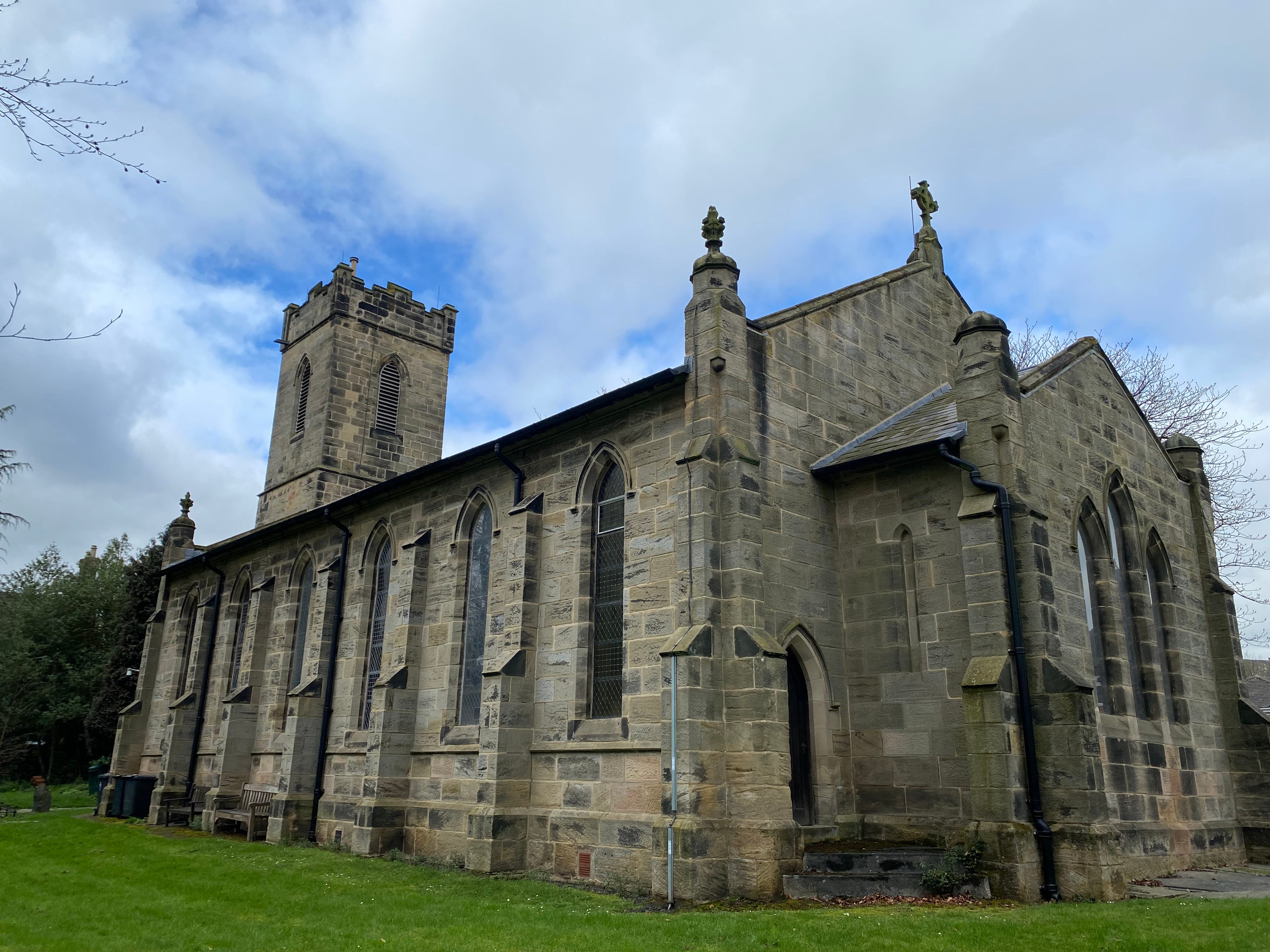
64. Donington-le-Heath, south of Coalville. A medieval manor house here, built in c1290 and once the home of Gunpowder plotter Everard Digby, is now a museum. St Peter's church was demolished c1770, so here is the church at nearby Snibston, one of the smallest still in use in England.
65. Donisthorpe, south-west of Ashby. An ex-mining village, it was until 1897 in an exclave of Derbyshire, but there were 12 counter-exclaves of Leicestershire in the surrounding fields. Church Flatts Farm, the furthest point from coastal waters on the British mainland, is a few miles to the west.
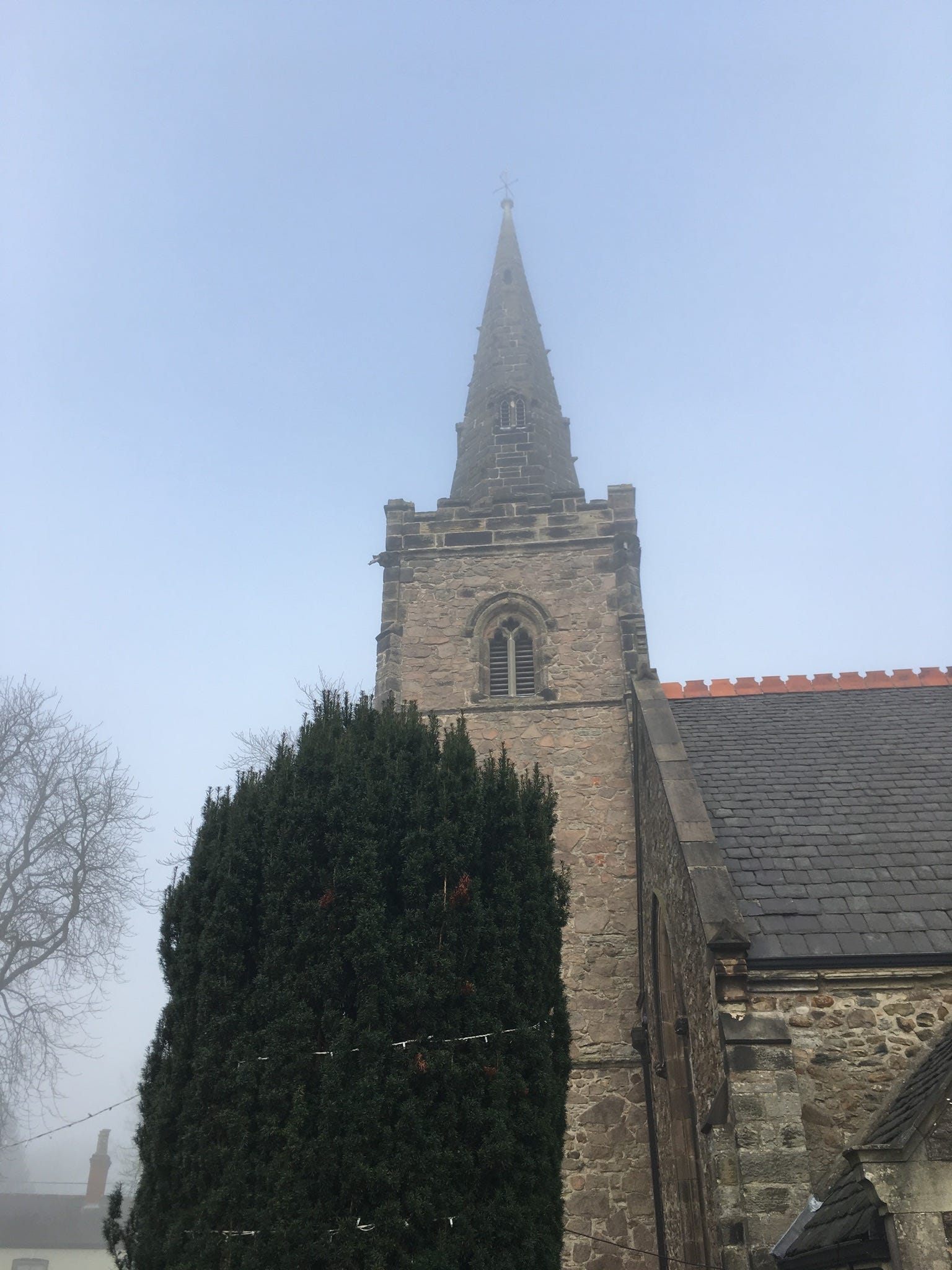
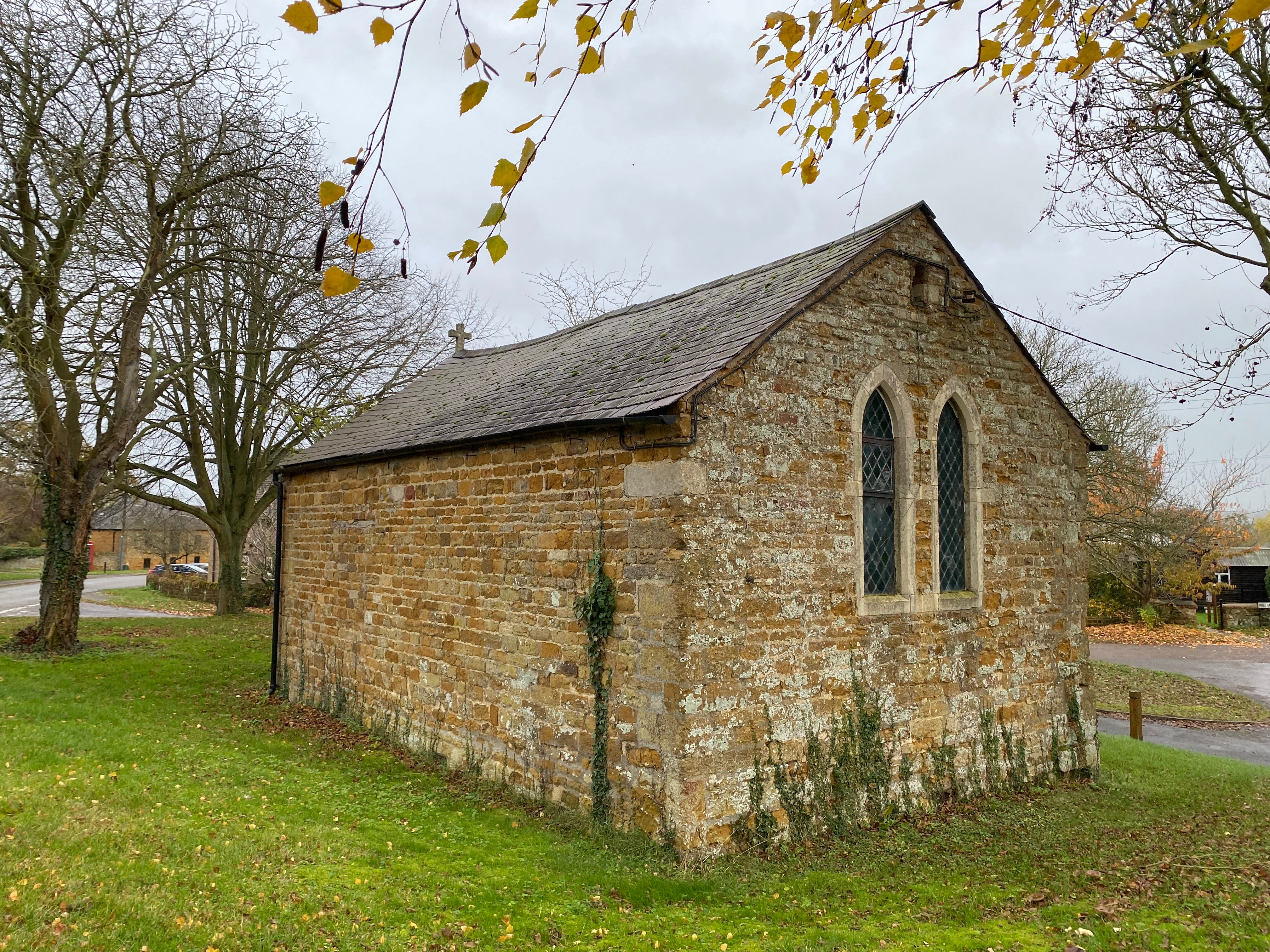
66. Drayton, in the far south-east of the county. The name derives from the old English ‘dræg’, meaning portage, perhaps relating to the River Welland to the south. St James’s church is another contender for a ‘smallest church’ title; it was converted to a bakery in the C18th.
67. Dunton Bassett, north of Lutterworth. The village used to be separated from Ashby Magna to its east by the Great Central Railway and the M1 motorway. The station between the two villages was named Ashby Magna. The railway was closed in 1969, but the motorway is still there.
68. East Goscote, north-east of Leicester, was built in the 1960s on the site of an army supply depot, apparently the first new village in the county since Domesday. Two munitions storage bunkers could not be demolished and were earthed over and landscaped as a manmade hill, known as The Mound.
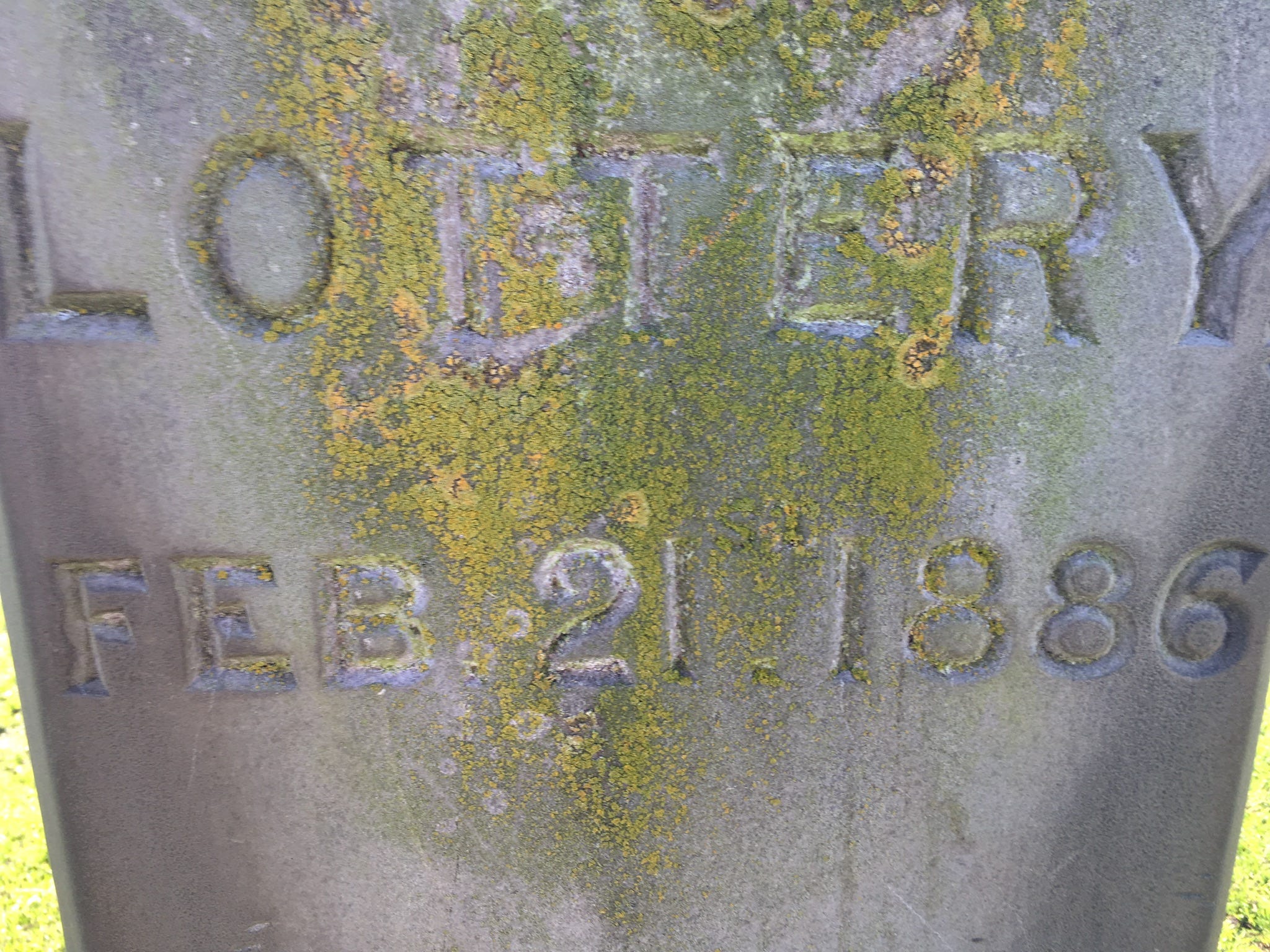
69. East Langton, north of Market Harborough, shares a parish with Church Langton (46 above). In a field south of the village is a pillar put up in 1886 in memory (and possibly the grave) of Lottery, who won the first official Grand National in 1839, who spent his later years here.
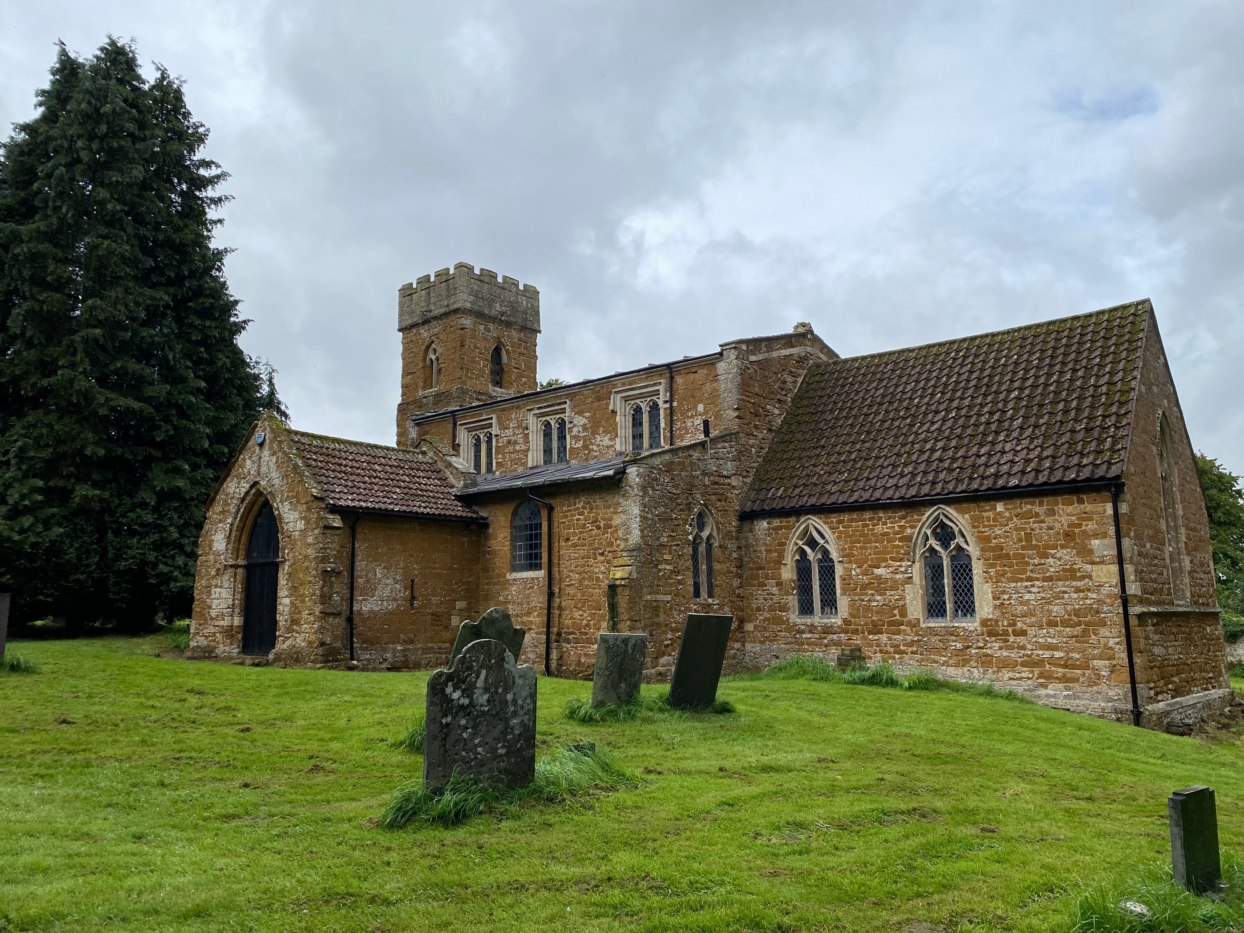
70. East Norton, in the east of the county near the Rutland border, is a Thankful Village (one of only a handful in Leicestershire) that lost no men during the Great War. The term was coined by Arthur Mee in his ‘King’s England’ series in the 1930s. Its status is recorded in a window in the church.

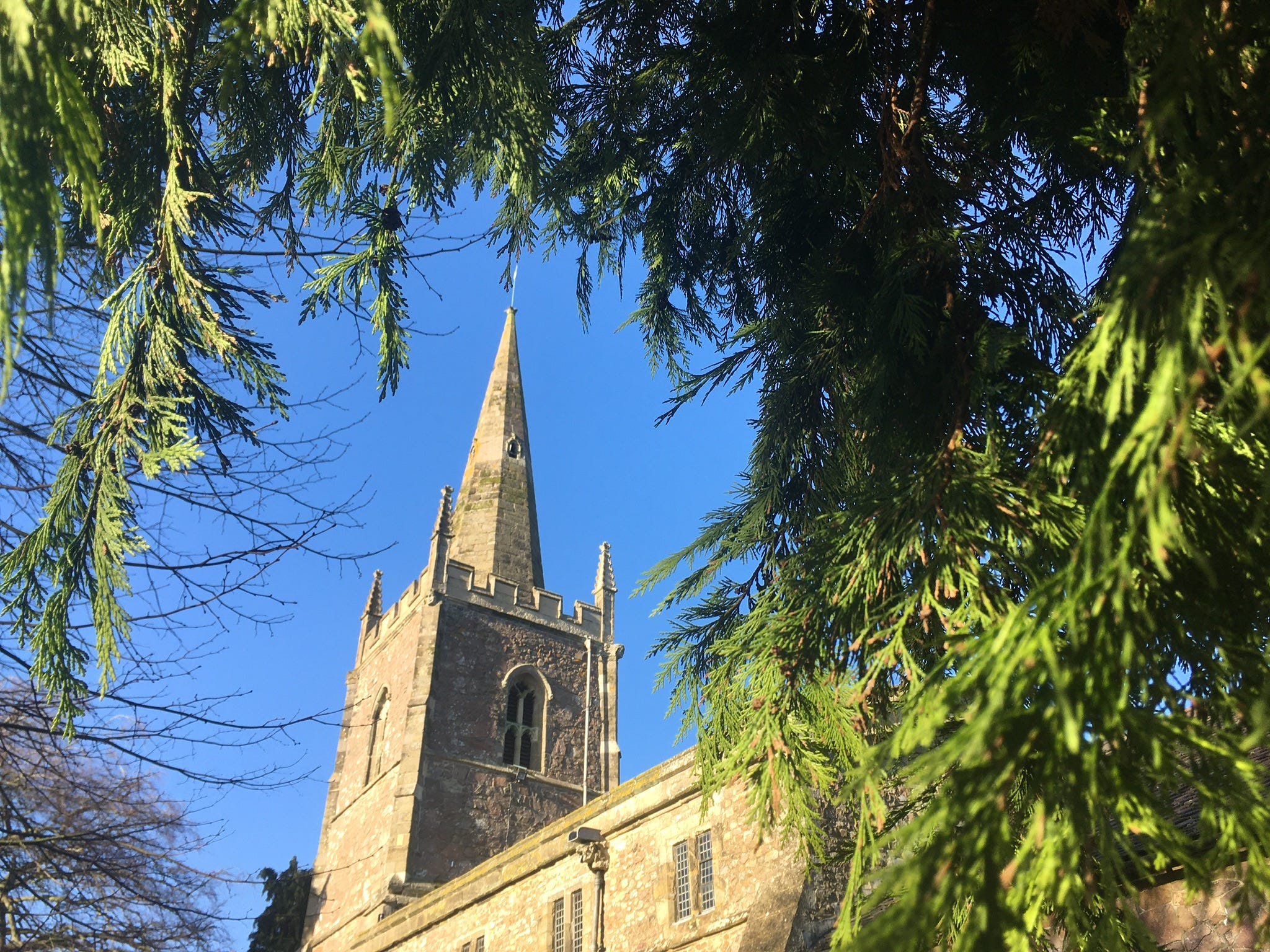
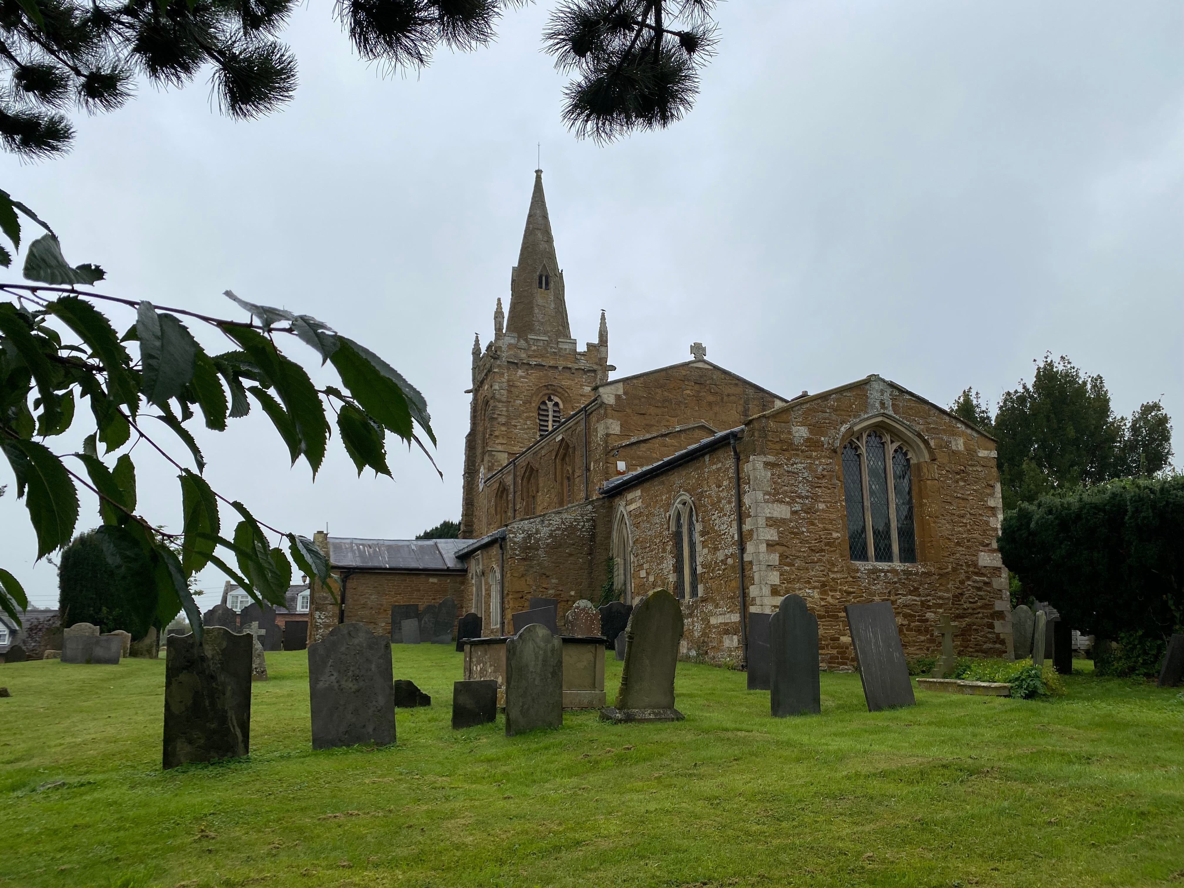
71. Eastwell, seven miles north of Melton Mowbray. The area round the village was quarried for iron ore from the 1880s to the 1960s. Ore was originally removed by tram (later by lorry) then taken by rail to ironworks in north Derbyshire. The C13th church is built of ironstone.
72. Eaton, just to the east of Eastwell (above), south of the Vale of Belvoir. The River Devon (pronounced ‘Deevon’), a tributary of the Trent that is one of the many rivers that for part of its length carries the Leicestershire border, rises near the village.
73. Edmondthorpe, on the Rutland border east of Melton. The C17th Edmondthorpe Hall, built by Sir Roger Smith (whose tomb is in the church, and one of whose wives was supposedly a witch who could turn into a cat), burnt down in 1942 when it was being used as a miliary fuel depot.
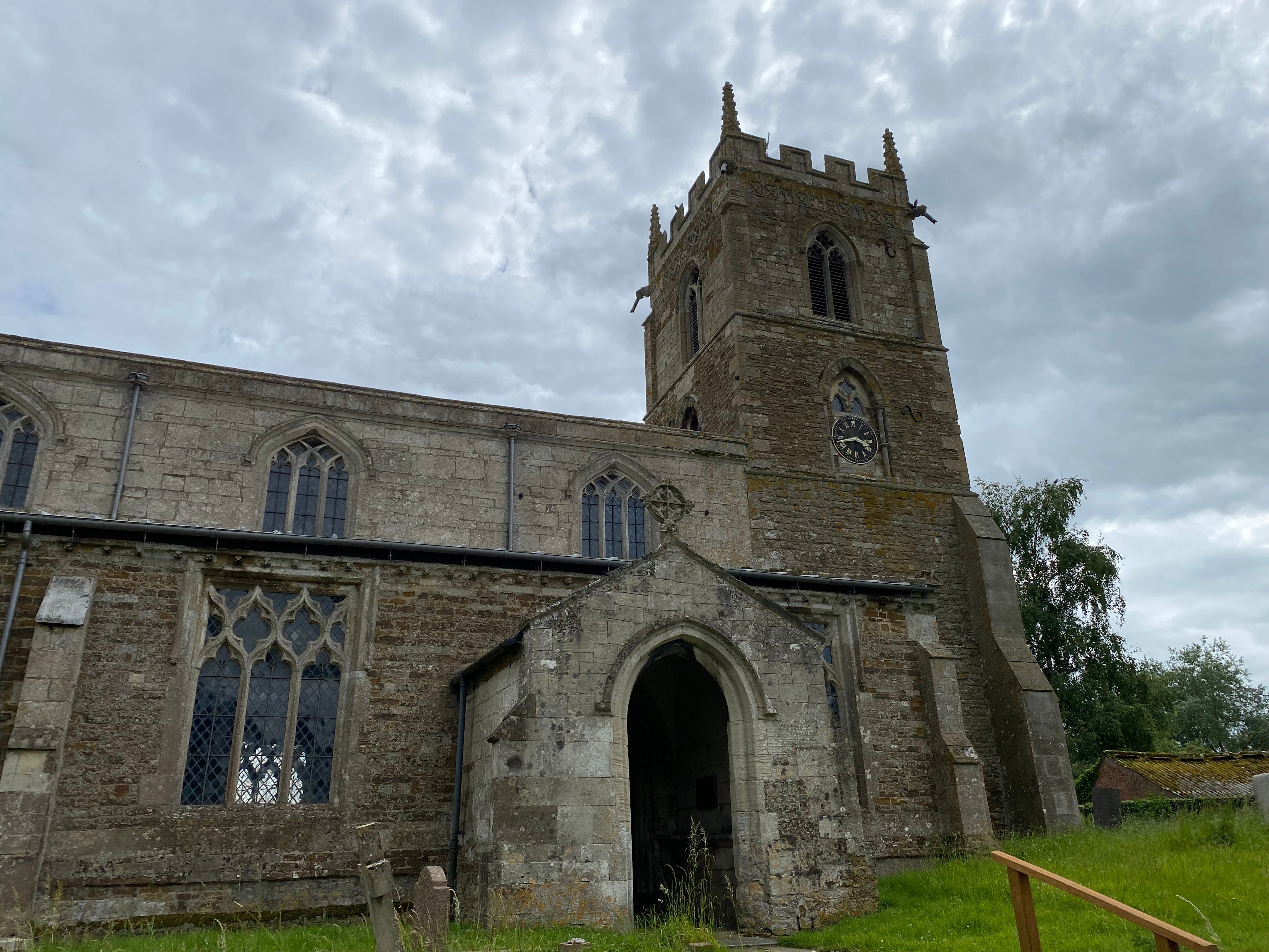
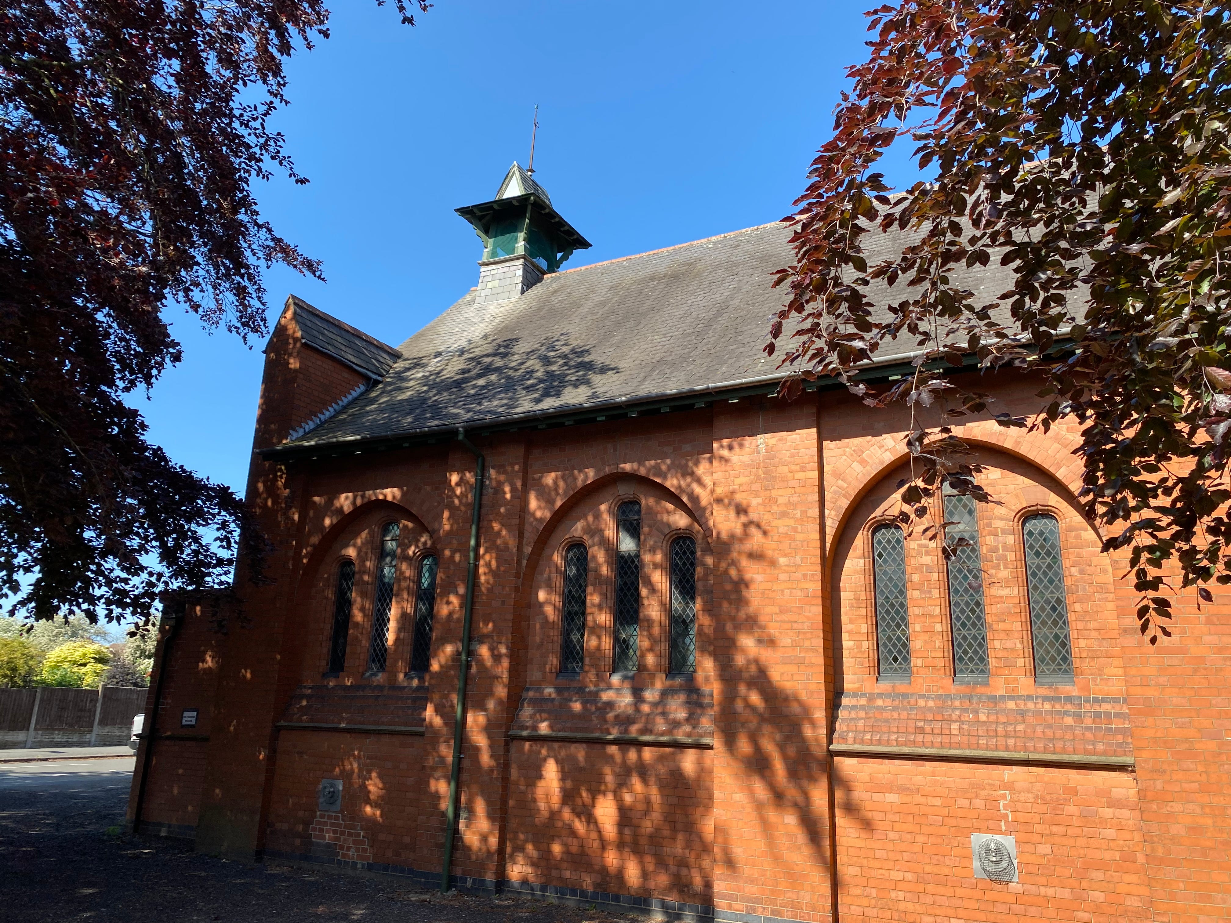
74. Ellistown, south of Coalville, was named after JJ Ellis, who built a colliery there in the 1870s, and the village for its employees. Previously the area was known as Swinfen Rushes or Pickering Grange. The colliery company also made bricks, used for the 1895 parish church.
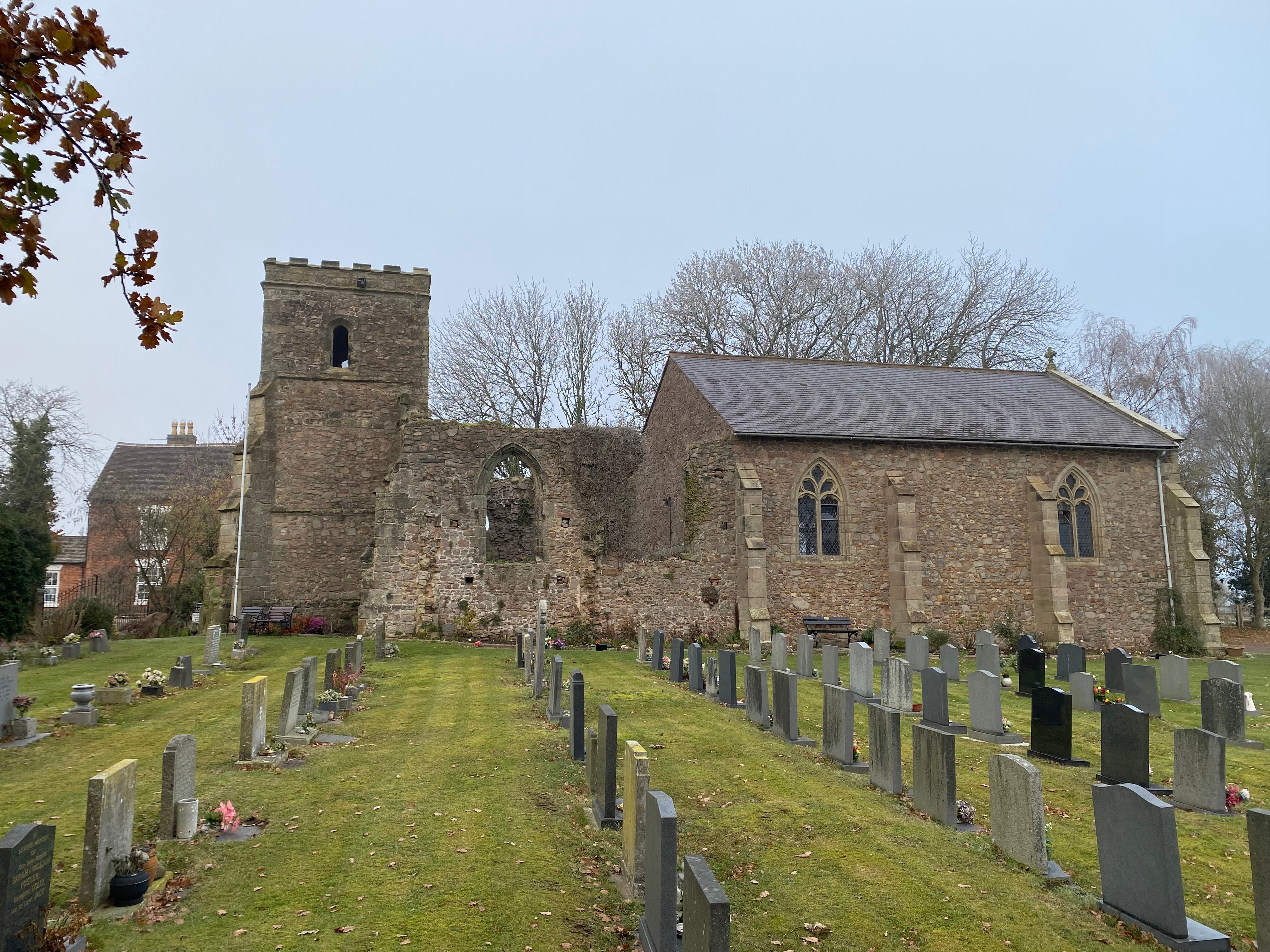
75. Elmesthorpe (originally Aylmersthorpe), south-west of Leicester. Richard III’s officers stayed in the ruins of the church before the Battle of Bosworth. A new church incorporating & accessed through the ruins was built in the 1860s, the same decade a railway station was built to the south-east.
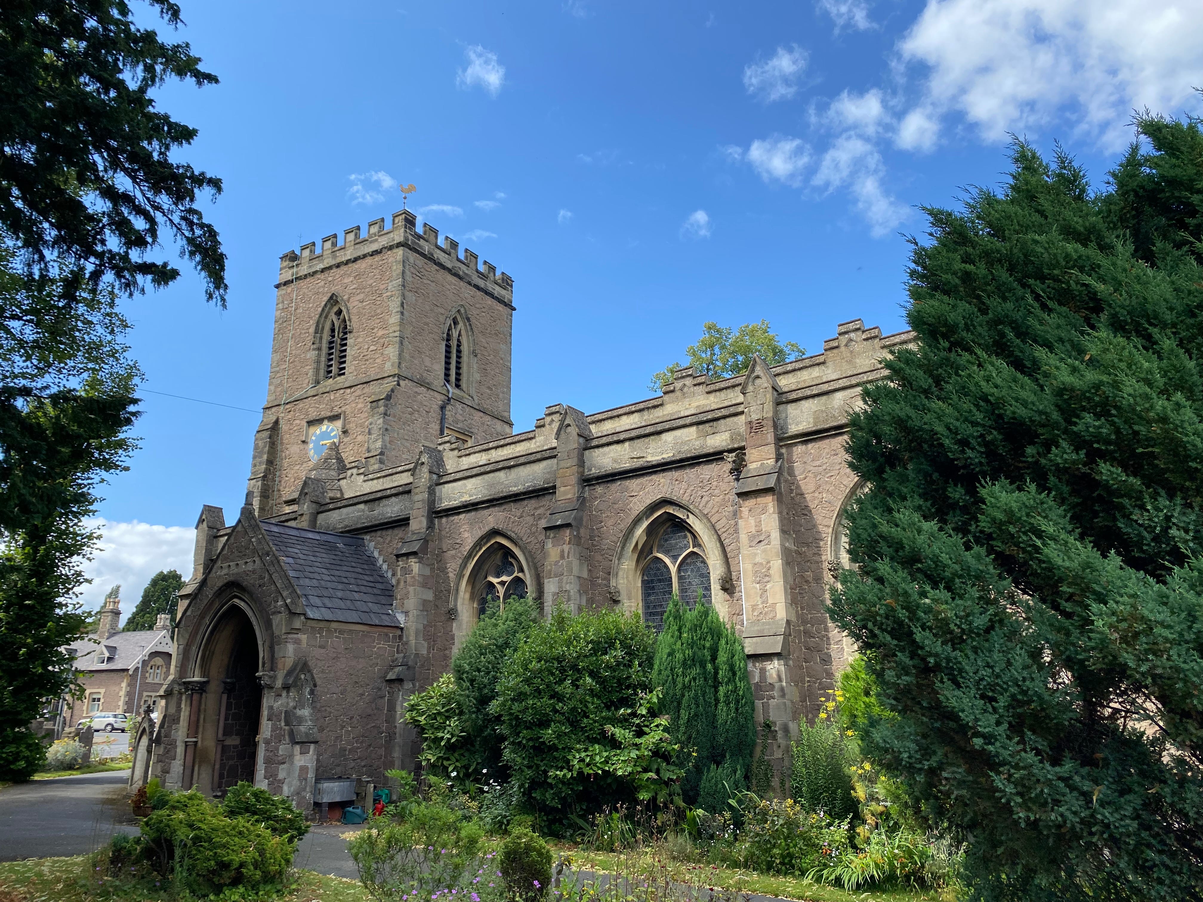
76. Enderby, just south-west of Leicester. The name is Danish, meaning ‘Eindrithi’s settlement’. Knitting was a big industry in the first half of the C19th, with 350 frames in the village. The first church here was built by the Saxons, but the present church dates from the 1860s.
I’ll put a link to the ‘F’s and ‘G’s here when I’ve done them.