


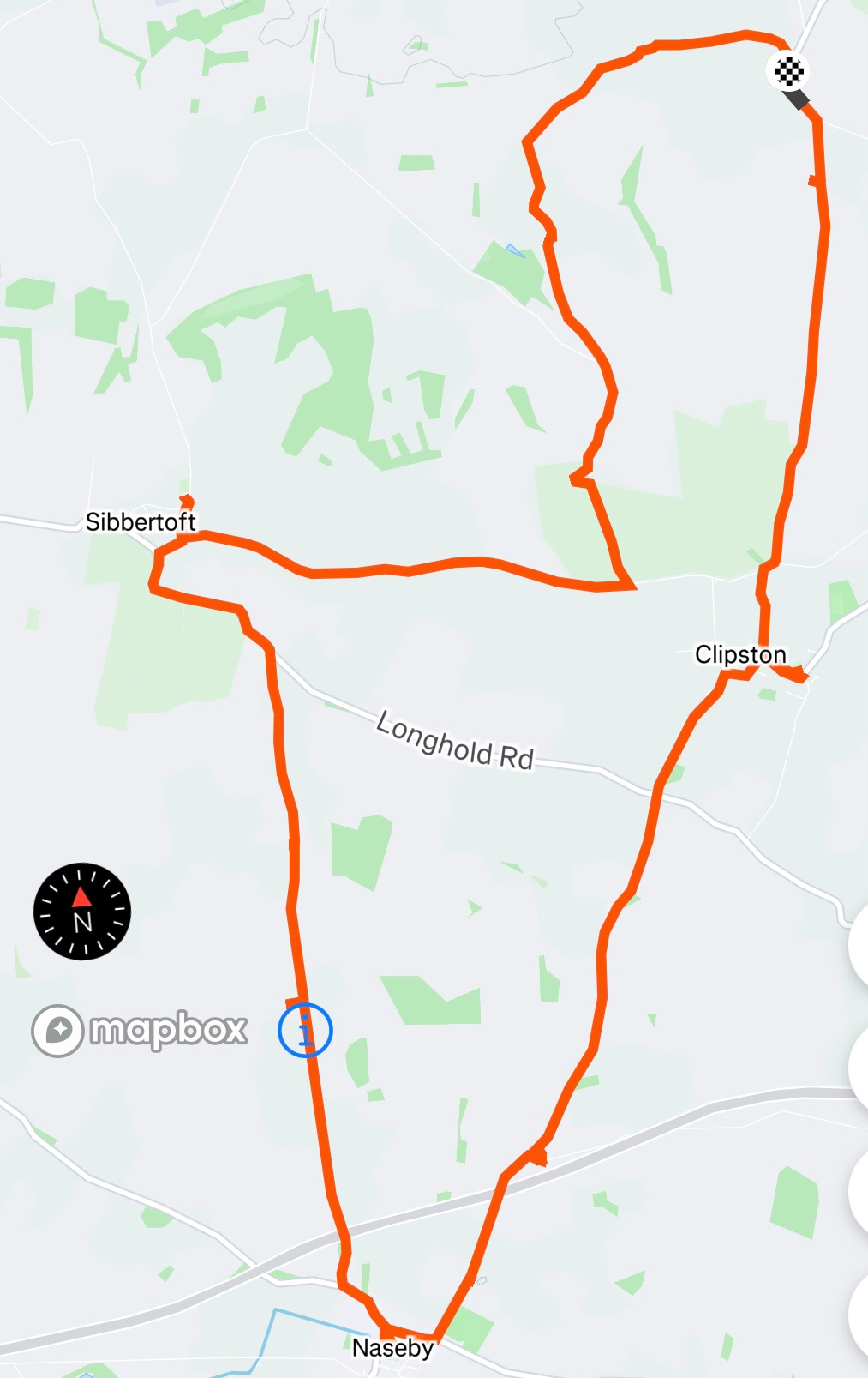
Round Naseby

I did a 13½ mile walk today through February grey, gloomy damp-chill round the Northamptonshire fields north of Naseby that, nearly 380 years ago, were the site of a decisive battle of the Civil War. Unlike at Bosworth there is no visitor centre here, but there are quite a few memorials and information boards that are worth stopping at, and give a good sense of how the battle developed.
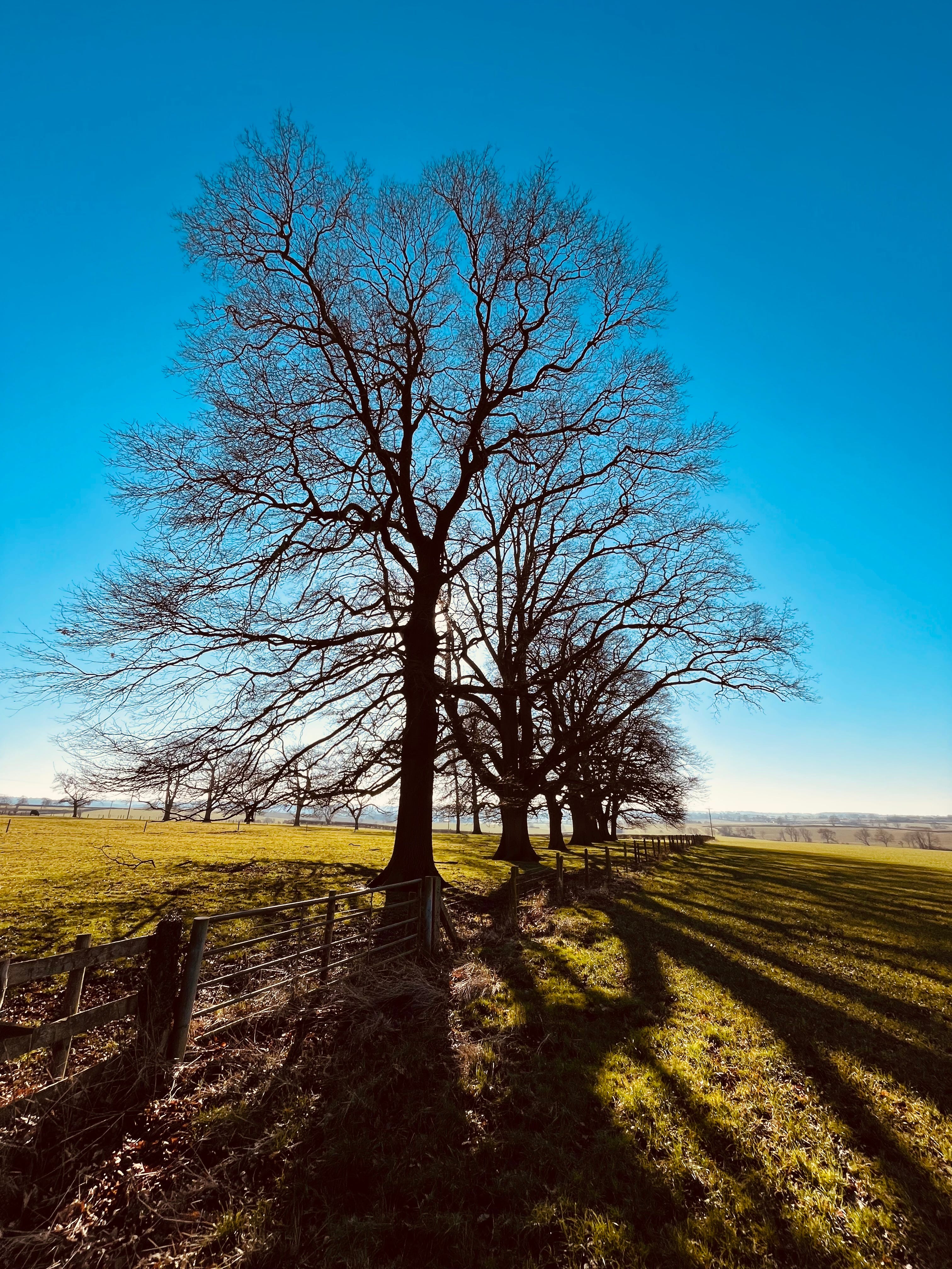
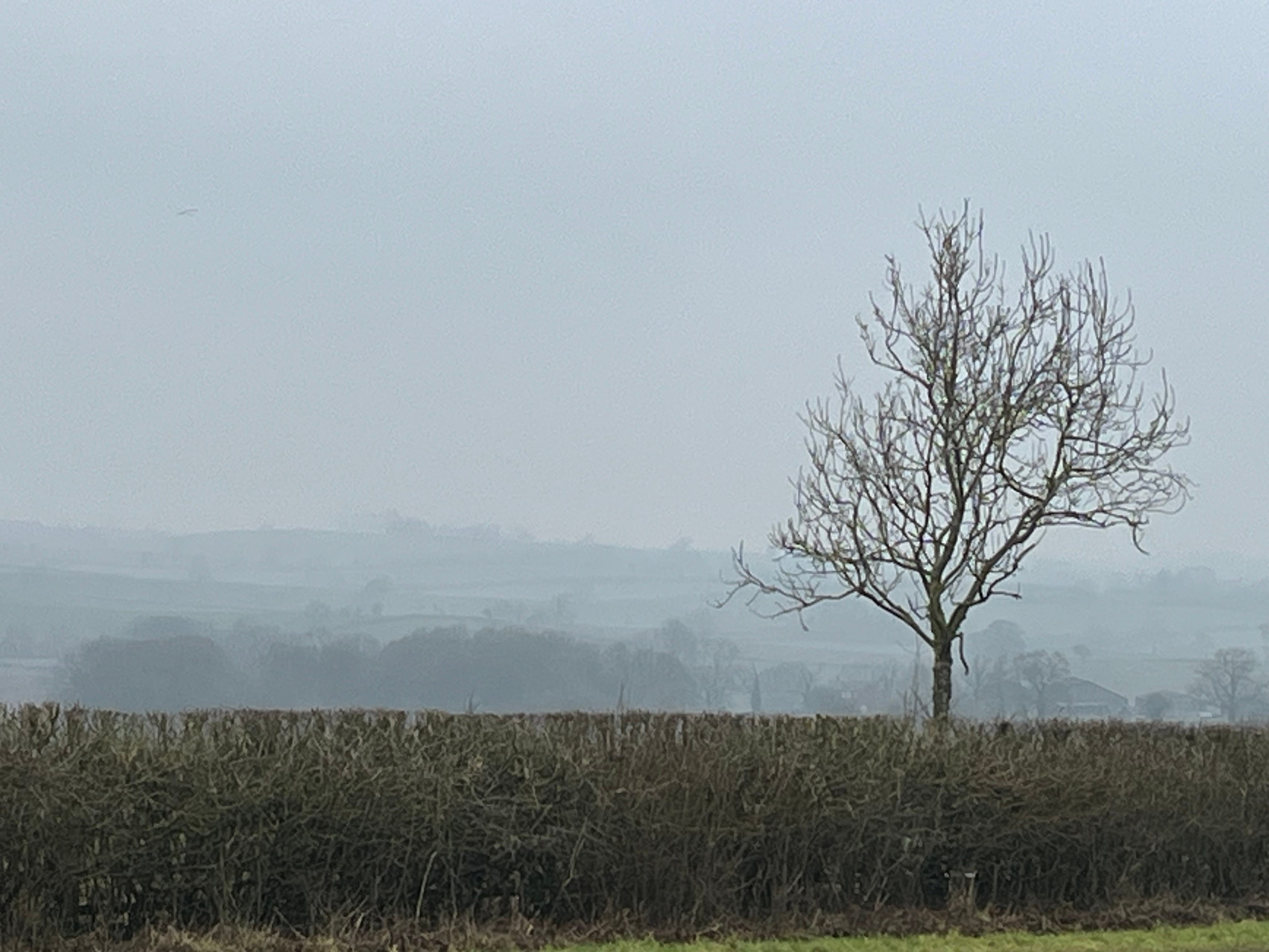
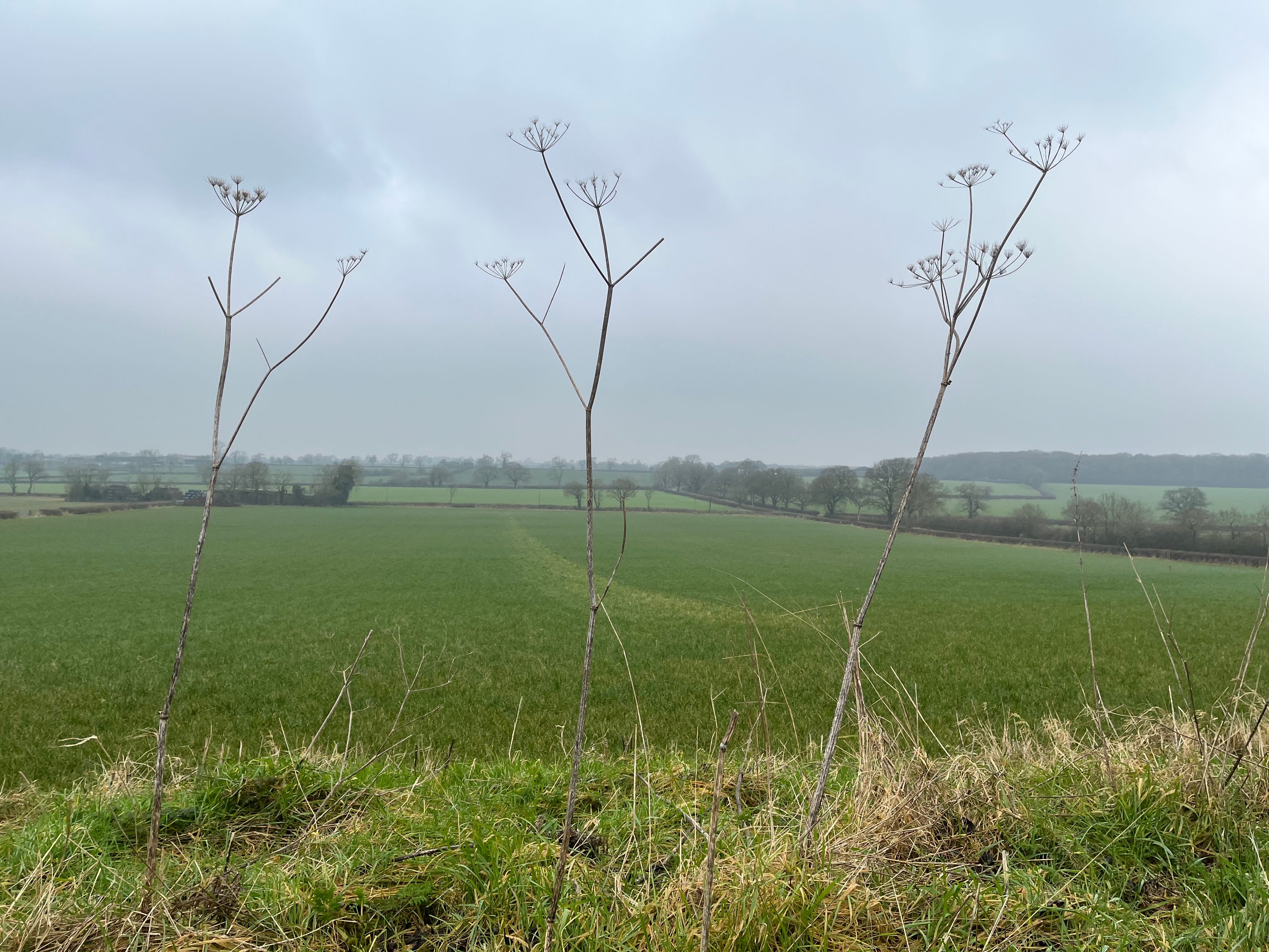
On a clear summer’s day I am sure this walk would be a delight, with clear views across distant fields. Even today, this is an undulating, strikingly empty landscape that is easy to read - ridges and valleys and hills with spinneys. Now it is criss-crossed by hedges with intermittent trees, but it had not been enclosed by the mid-seventeenth century, so at that time there would have been much larger open fields with ridges and furrows and common pasture. The troops and cavalry would, though, have had to navigate gorse, rabbit warrens and boggy, undrained land.
I started at East Farndon, south-west of Market Harborough (just over the border into Northamptonshire). I walked the ridge east of here towards Great Oxendon last week when the weather was clear: it was on this ridge that 25-year old Prince Rupert of the Rhine, King Charles’s nephew and commander, brought his troops early in the morning of 14 June 1645, from where they had been staying overnight in Harborough.
Heading south from East Farndon towards Clipston - not a particularly busy road, but there is no pavement so you have to watch carefully for cars - you soon reach Rupert’s viewpoint to the right (west) of the road. On a clear day, Naseby spire - nearly five miles to the south - is visible, but that morning the Parliamentary army was hidden behind a ridge. Sir Thomas Fairfax, Rupert’s opposite number, moved his troops to the west so they could be seen, and Rupert set off south-west to engage them.

I headed south to Clipston, and then from there south-south-west down towards Naseby. Just before reaching the A14, you get to Fairfax’s viewpoint: from here, you can look back north to the ridge where Rupert was stationed. It was from about here that Fairfax and his commander of horse, Oliver Cromwell, saw the Royalist forces gathering. But they realised their army could not be seen or easily attacked by Rupert, which is why Fairfax decided to head north-west to lure the Royalists into engaging. The two armies were fairly evenly matched in their cavalry, with over 5,000 horses each, but Parliament had significantly more infantry and was better led.
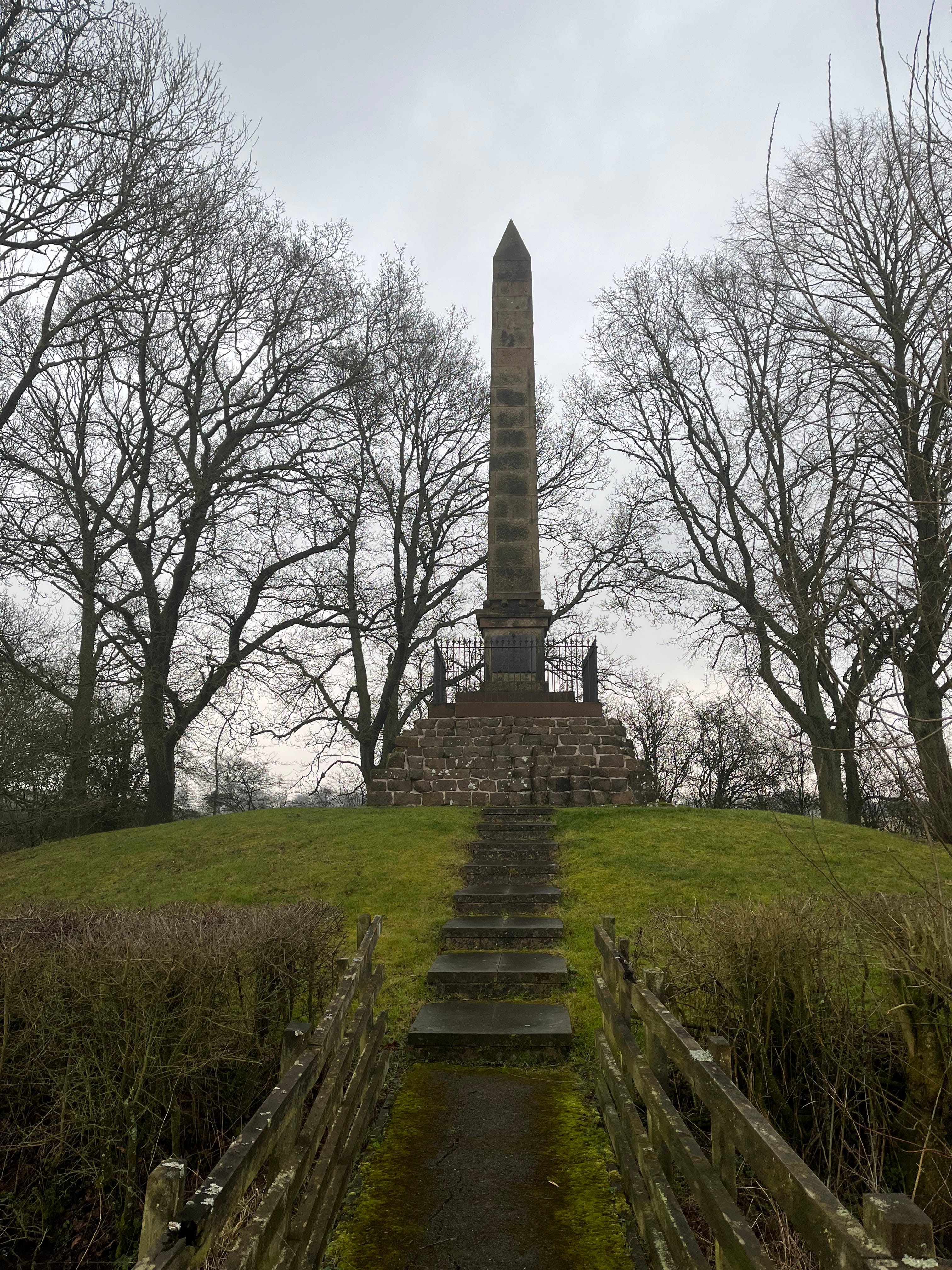
A little south of here, just north of the village of Naseby itself, is an obelisk, installed in 1823 on the site of a windmill where the Parliamentary army met having come up from Guilsborough (and before that from Oxford, where they had been besieging the Royalist capital). When they congregated here the troops did not know when they would be fighting: it was possible that they would end up chasing the king and his army north into Leicestershire.
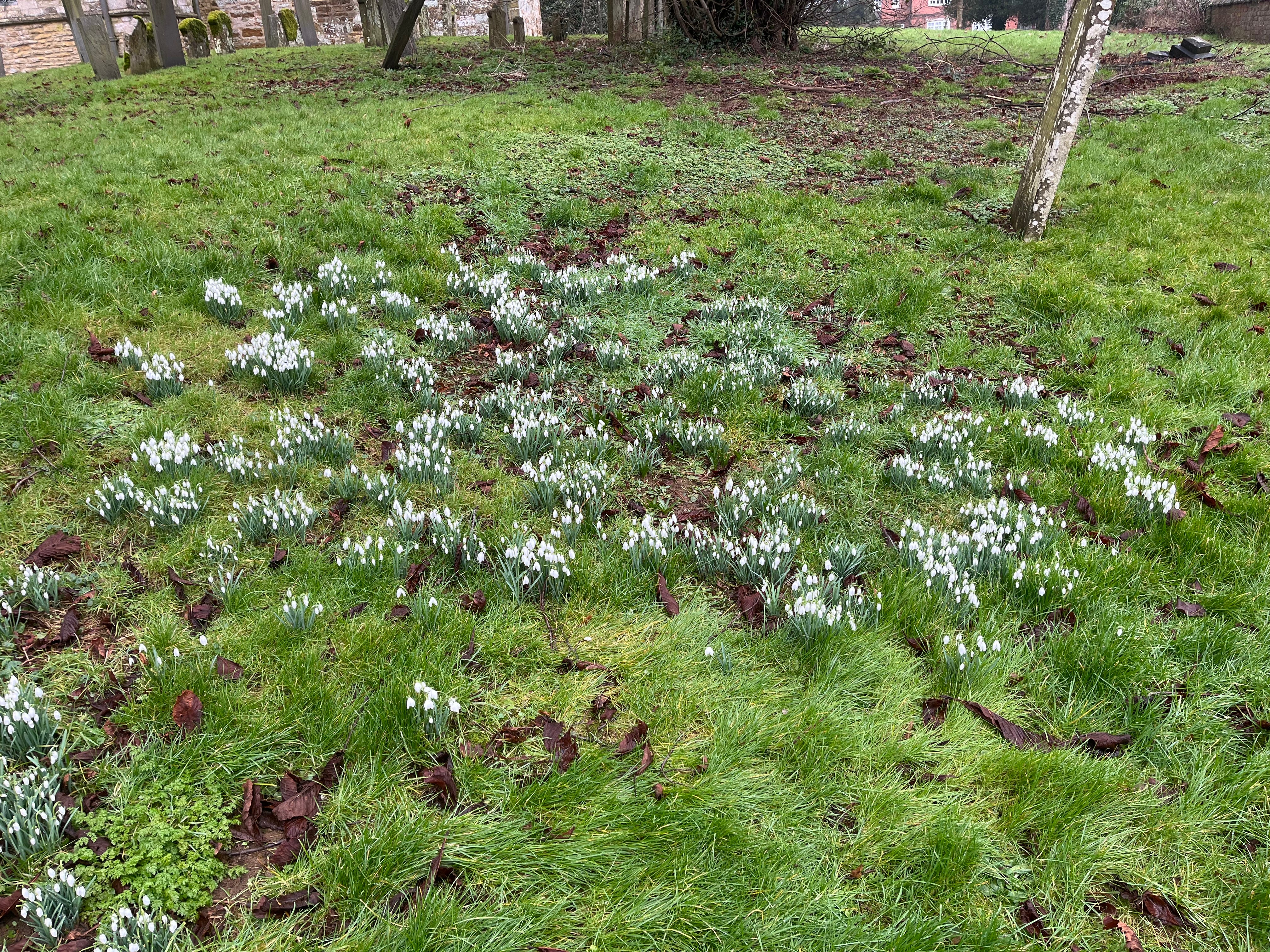
I then went into Naseby itself and had a look at the church and its snowdrop-carpeted churchyard. And, nothing to do with the battle, I was intrigued to discover that the source of the River Avon (which flows westwards through Stratford-upon- and beyond) is near here.
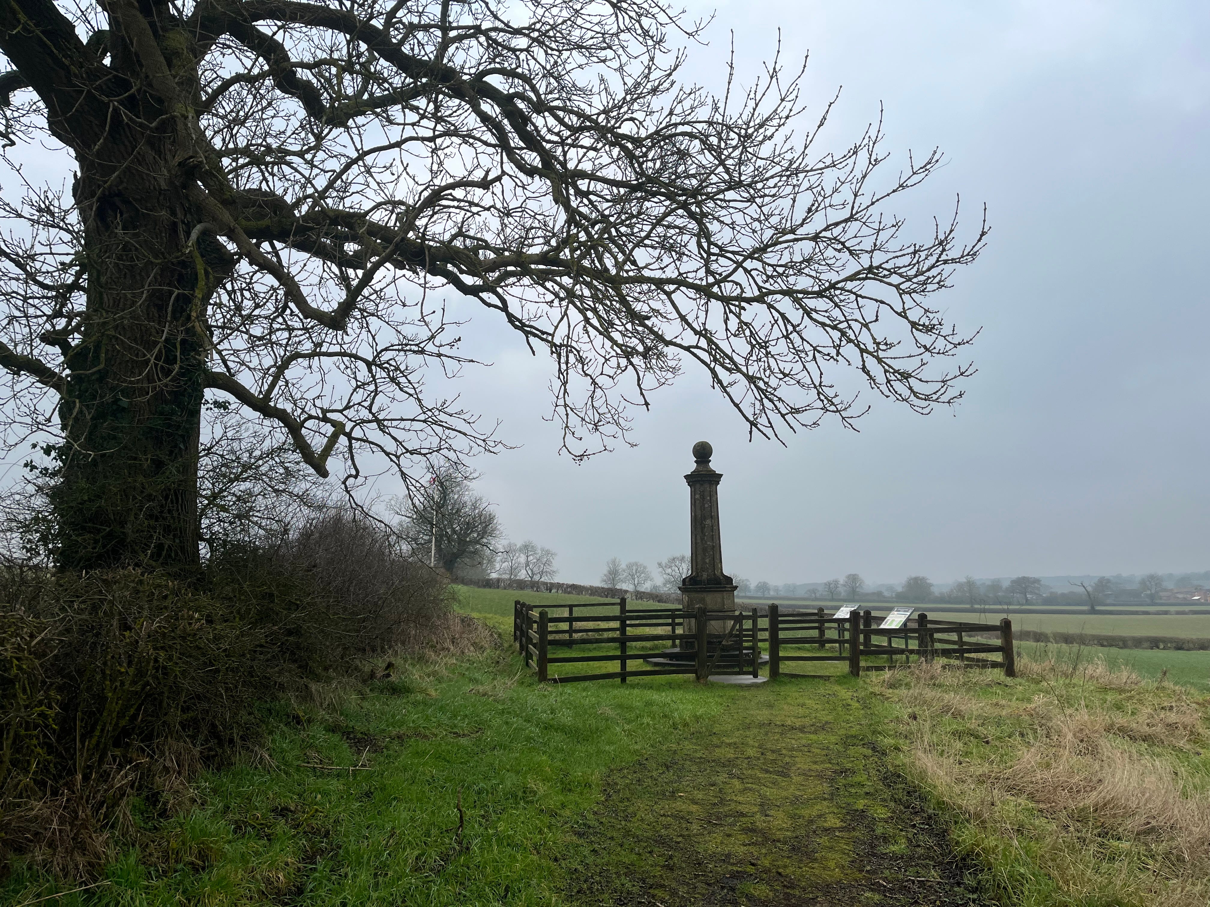
I then headed north out of the village, to the west of where I’d entered it, on a single-track road which was much quieter than that I’d walked in on. A mile or so up this road, to the left (west) is a stone monument located about where the Parliamentary army lined up, to the south of the shallow Broadmoor valley where the two armies met and the battle itself took place.
There is something really moving about looking across these quiet, unremarkable fields knowing that so much blood was shed here. After early Royalist incursions Cromwell counterattacked from the right wing, using his cavalry to attack the Royalist horse and then charge at their footsoldiers in the centre. The King’s army lost about 1,000 men and was forced to retreat, fighting as they did.
I continued north up the road from Naseby, looking to my left and trying to imagine the chaos and horror there that June morning. I was roughly following the path of Prince Rupert’s retreat.
Passing the appropriately named Prince Rupert farm (and missing the Sulby Hedges viewing platform, which is apparently some way from the road), I got to the village of Sibbertoft about nine miles into the walk. From there I headed east back towards Clipston along another quiet, single-track road. There is an information point just off the road here about the retreat.
Before getting to Clipston I turned north, past open ridge and furrow fields, which might have been just about recognisable to the seventeenth century soldiers. This track felt strikingly remote - it seemed like there might not be another soul for miles around.
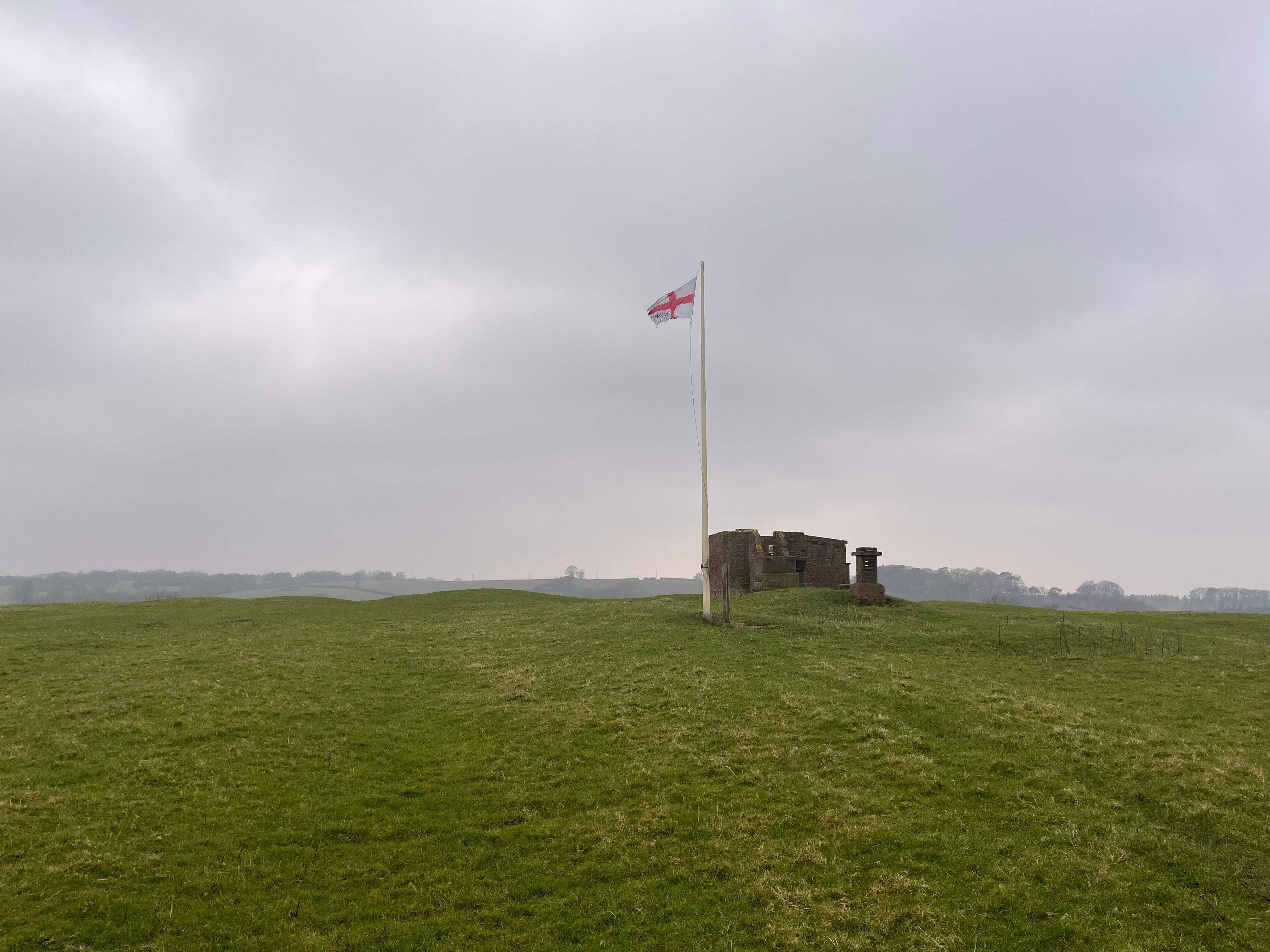
There is another viewpoint here, an old brick Royal Observer Corps observation post dating from World War 2, with a flag fluttering. From here we should be able to look across to where the retreating Royalist forces had their last stand before they fled to the north, though sadly access to the viewpoint is no longer permitted.
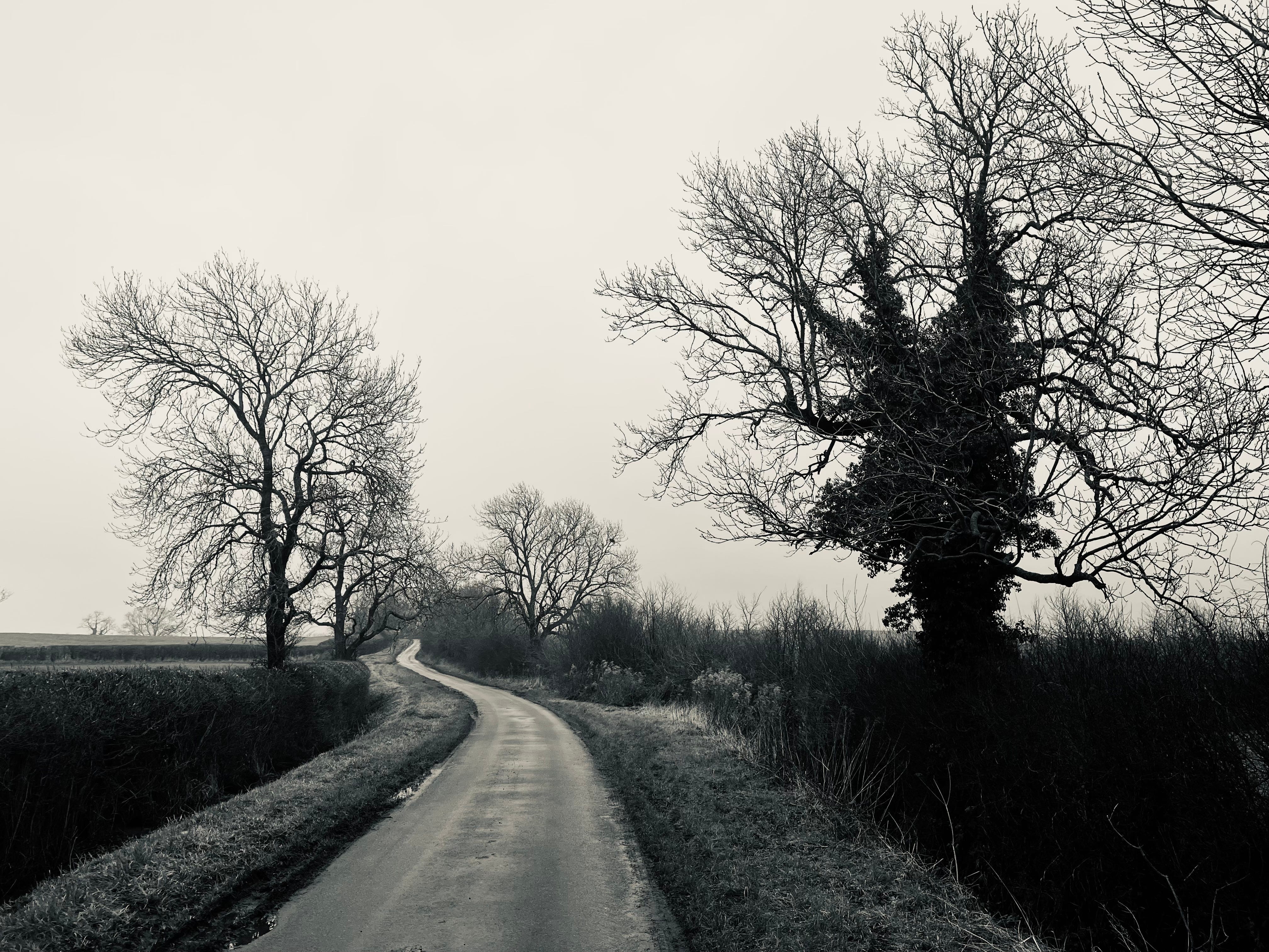
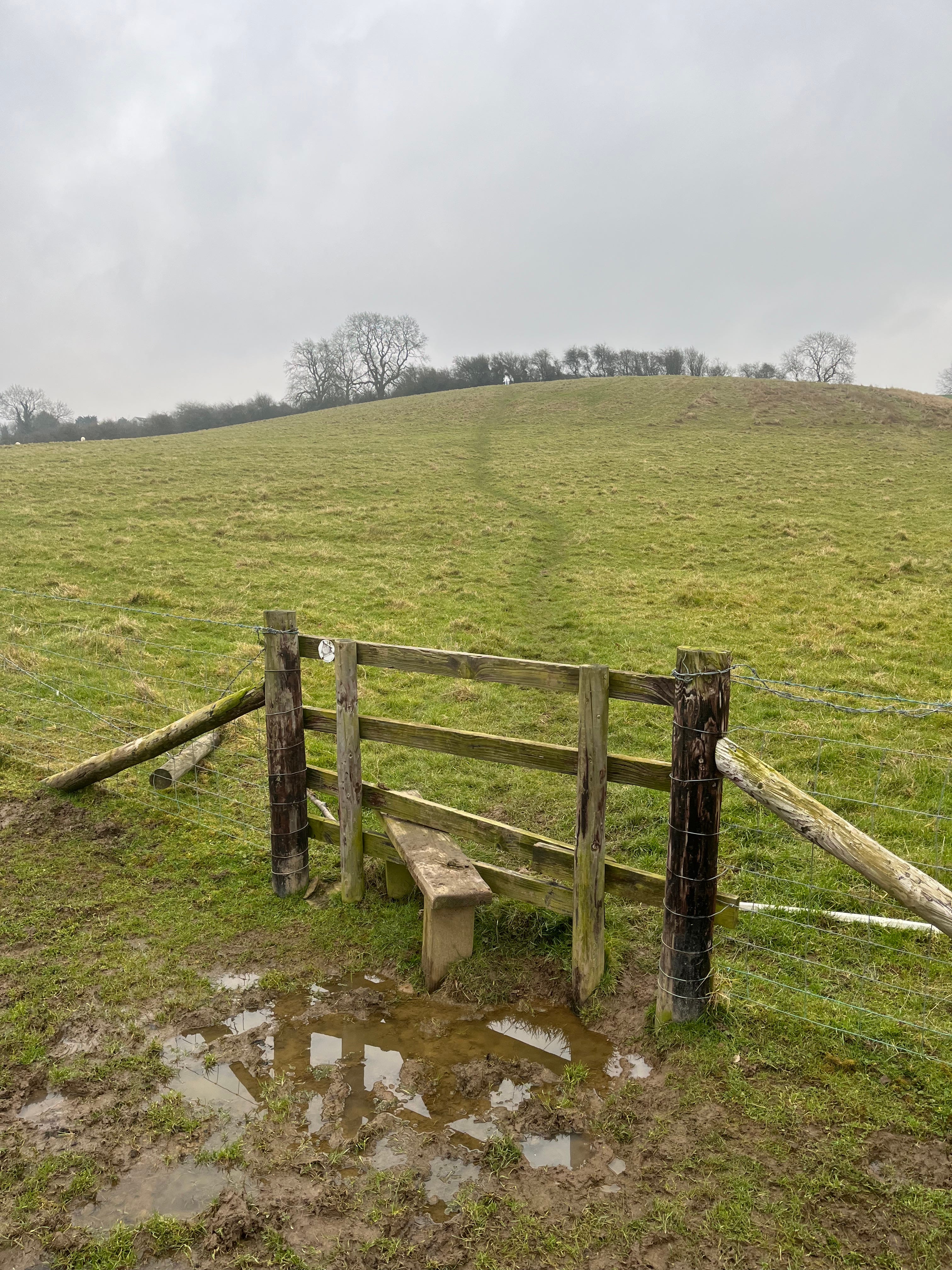
A little north of here I turned off the road onto a footpath - any cyclist doing this route would need to continue to Marston Trussell, and then back along the road to East Farndon. Much of the rest of my route, north then east, was muddy and uneven, and at the end there was a steep hill back up to East Farndon.
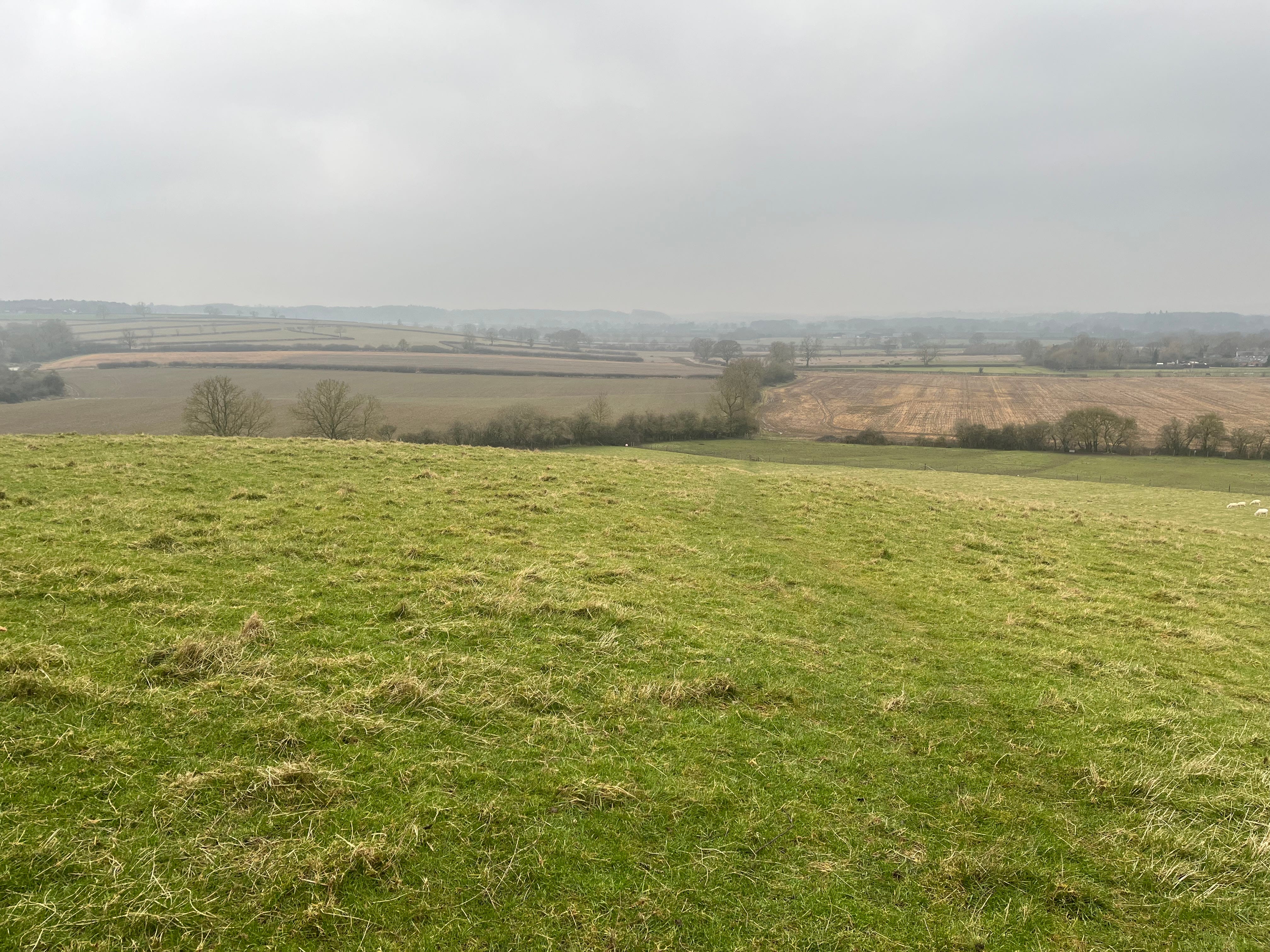
At the top I stopped for a brief rest, turned and looked back west over the valley, and tried to picture the panicked retreat of the King’s soldiers over this land. Charles himself escaped, but the defeat at Naseby was a huge blow to his cause; he was captured the following year, and in January 1649 he was tried and beheaded in London.
This is a walk I would definitely do again, and I would recommend that others who are able to do too. It gives a good sense of both the landscape and the progression of the battle. I would suggest booking clearer weather than I managed today, though, to enjoy what I am sure are lovely rural views - including those previously seen by Fairfax and Rupert and their men, early in the morning on that bloody, momentous June day.
I`ve done this walk in three different parts. I`ve been to the memorial a couple of times, and there`s definitely an atmosphere there that I`ve felt on both occasions. Probably better to do it in the Summer.
Such a good read, both from a historical and geographical perspective.