


Leicestershire Villages: S (part 1 - Sa to Sn)

Nearly one in six Leicestershire villages start with the letter ‘S’ (it’s less than one in 13 for Northants - I don’t think there’s any significance to that), so here are ‘Sa’ to ‘Sn’.
193. Saddington, north-west of Market Harborough. The Grand Union canal runs to the north-east of the village through the half-mile long Saddington tunnel, built in the 1790s. The Saddington reservoir to the south of the village, built at the same time, helps keep the canal topped up.

194. Saltby, north-east of Melton Mowbray. Saltby Airfield, east of the village, was built by the RAF in WW2, and included three runways, the longest of 6,000ft. It was handed to the USAAF in 1943, and 60 C-47s flew from here as part of D-Day in June 1944. It is now home to Buckminster Gliding Club.
195. Sapcote, east of Hinckley. There were Iron Age, Bronze Age and Roman settlements here. In 1837 the church’s fine orchestra was replaced by an organ. The many springs and wells here included the Golden Well, with yellow stones, and the Soap Well, traditionally so soft it would wash without soap.
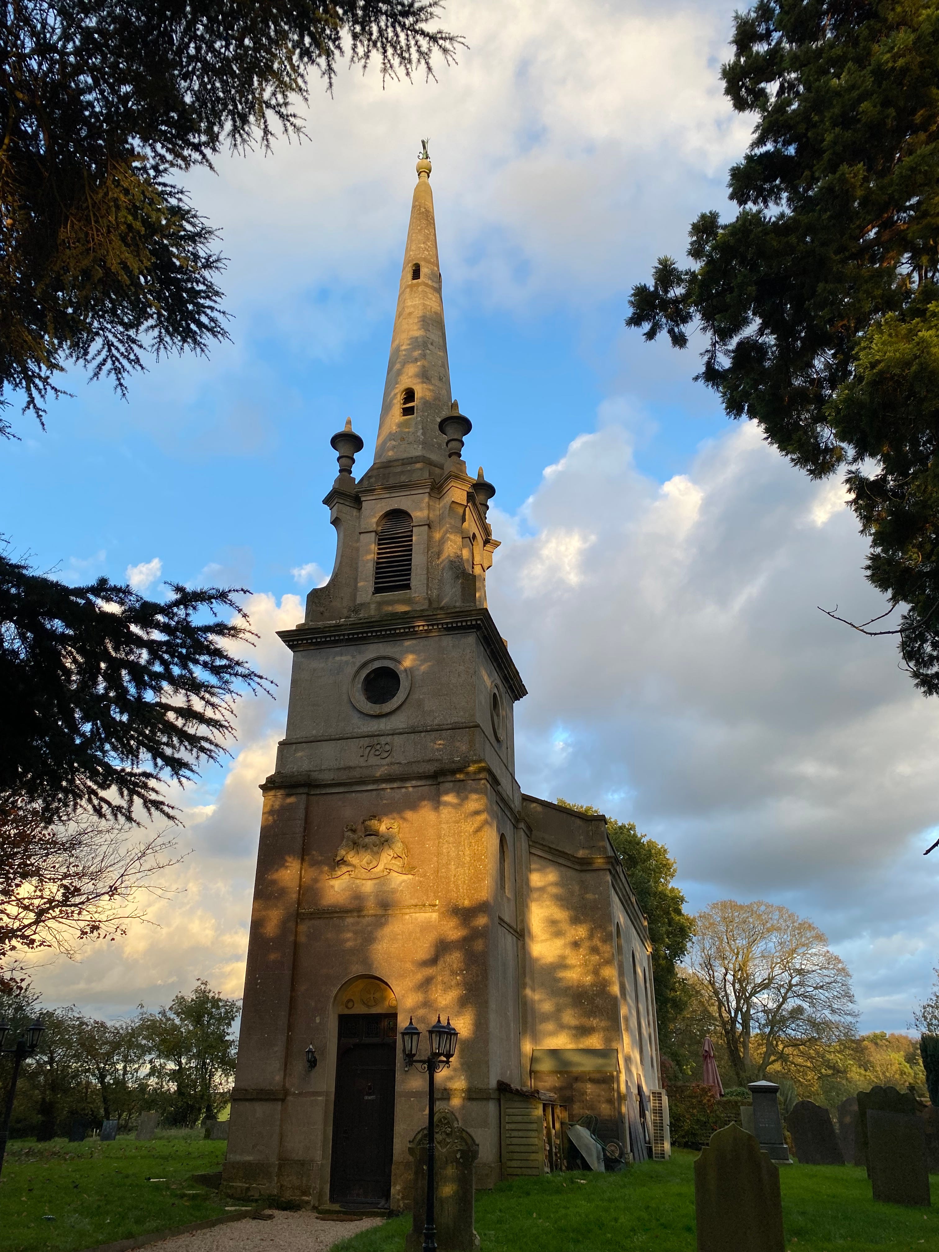
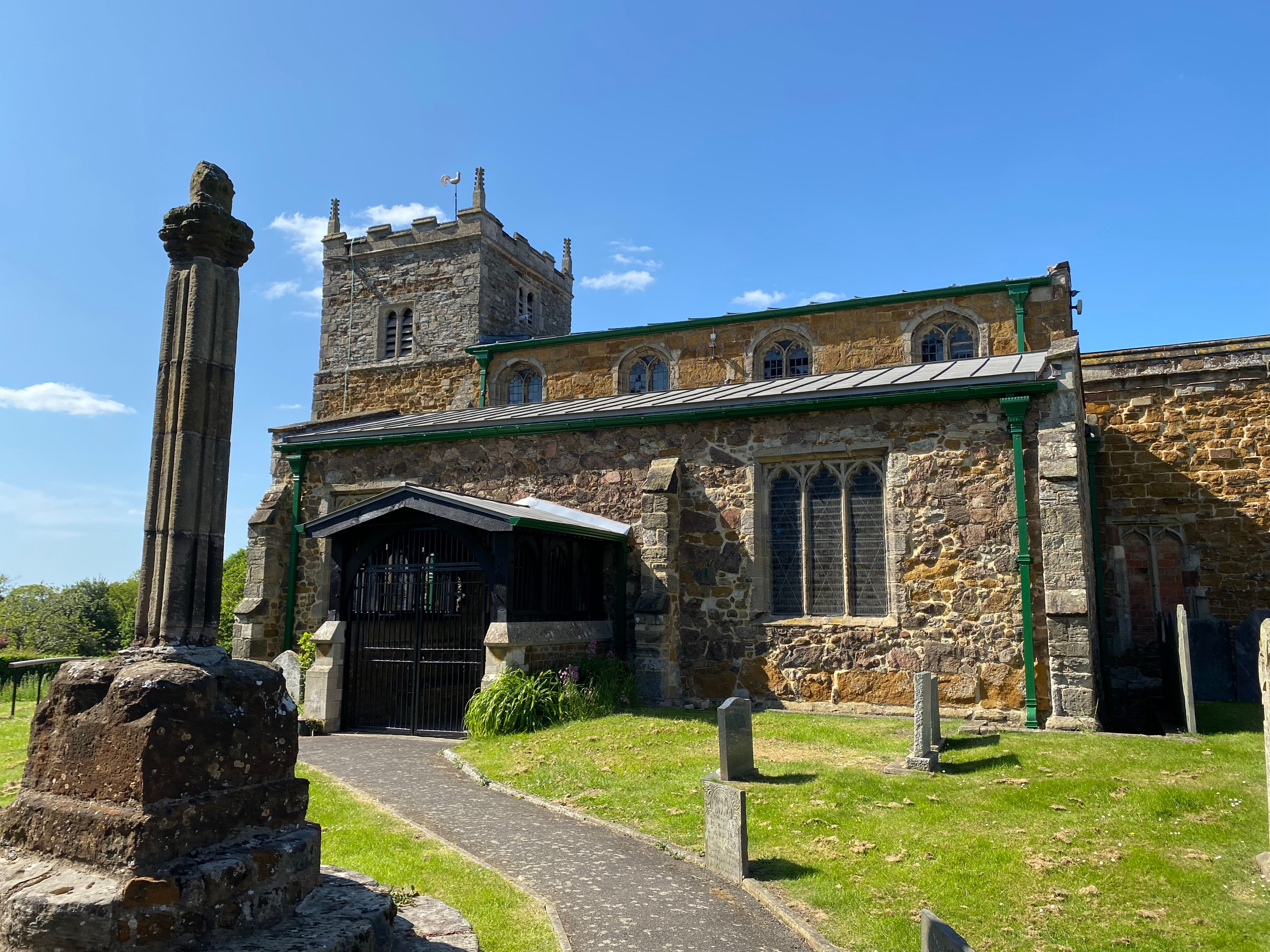
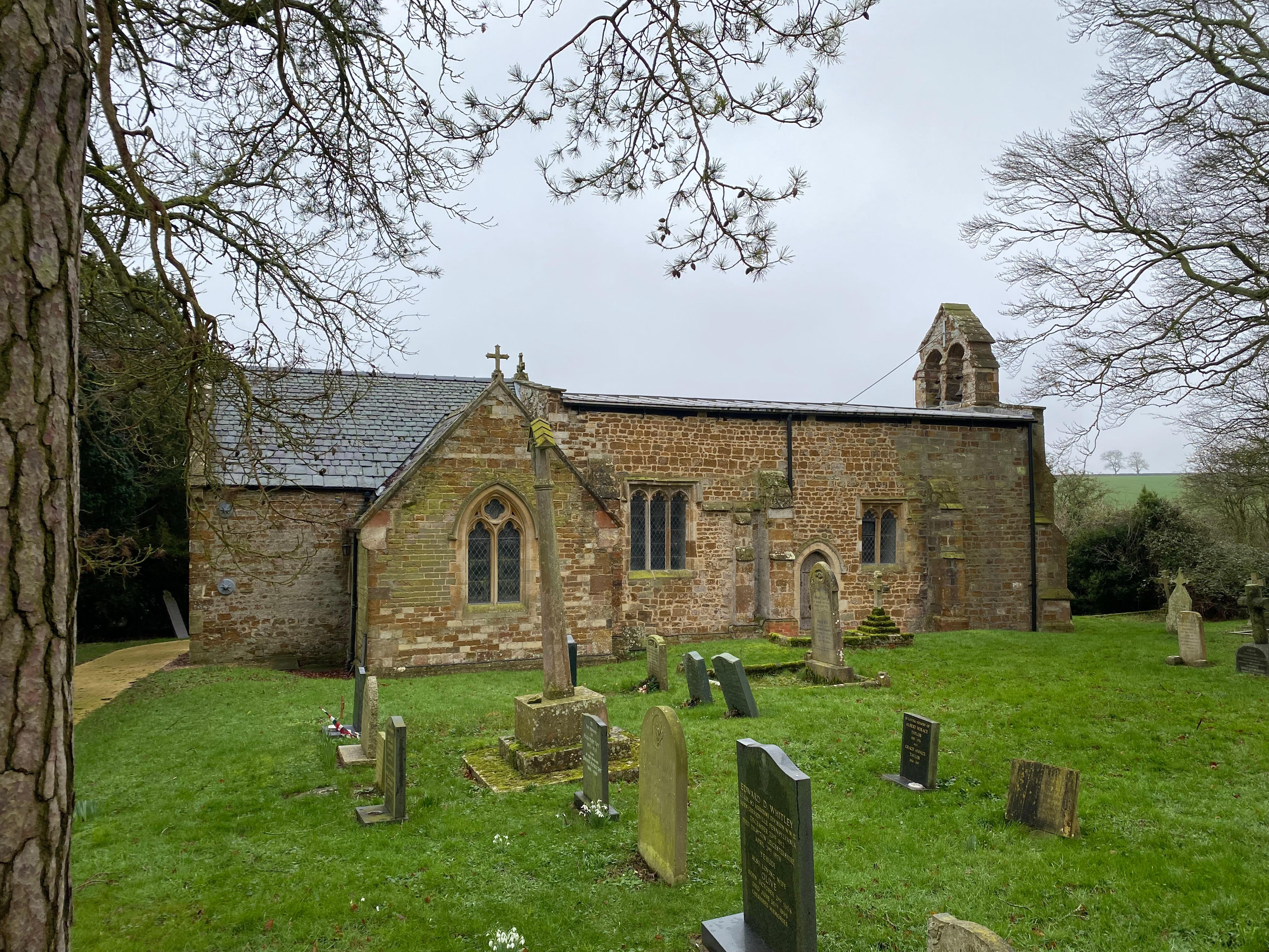
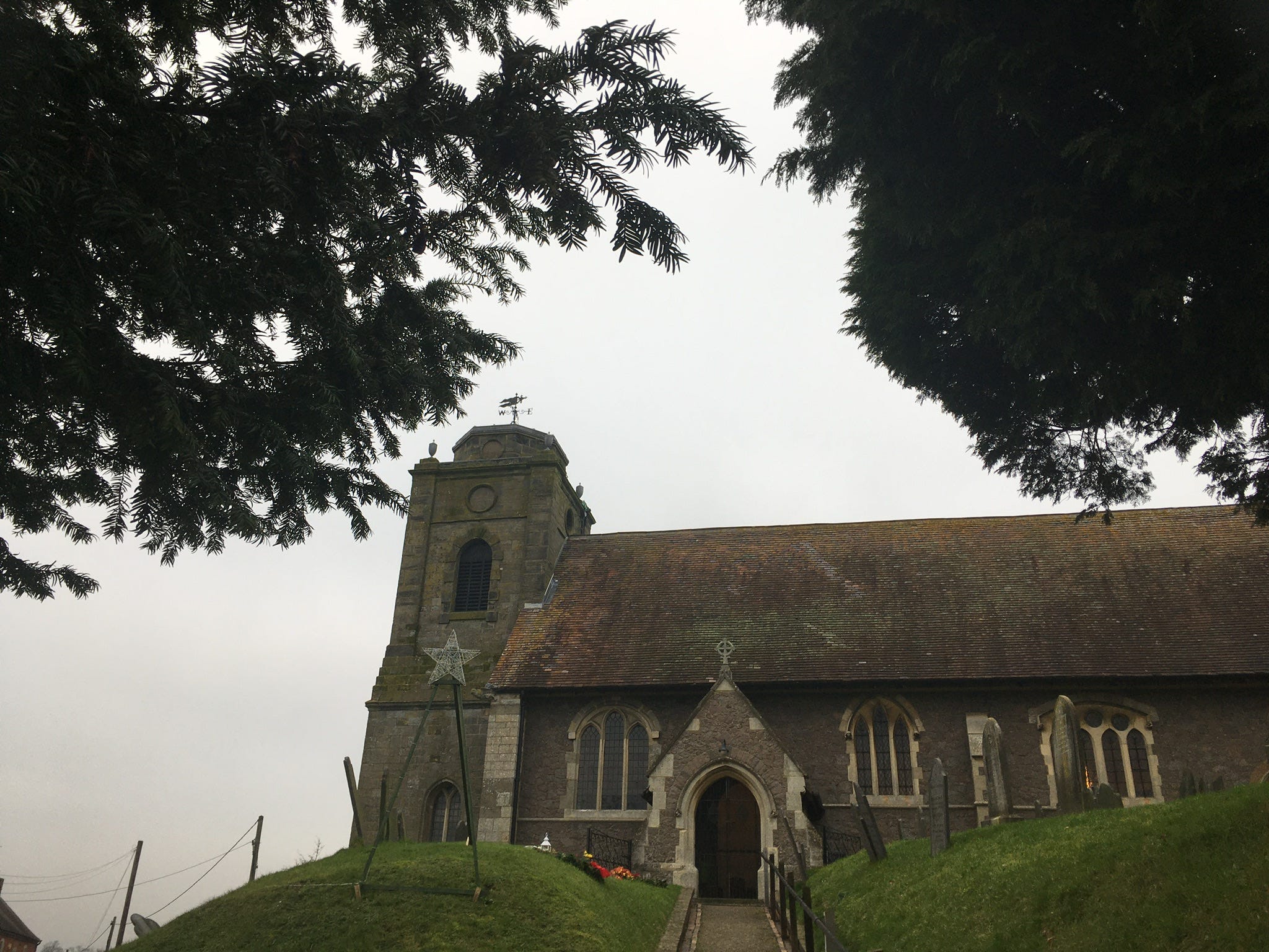
196. Saxby, east of Melton, one of Leicestershire’s three or so thankful villages (all men returned from WW1). Pevsner called St Peter’s Church, built in 1789 for the Earl of Harborough (and now a home), 'an attempt at combining the tradition of the Hawksmoor churches of London with Leicestershire usage'.
197. Saxelby (or Saxelbye), north-west of Melton. From 1863: ‘a small village betwixt and near the confluence of two rivulets, at the southern foot of a range of Wold hills…The school has £2 a-year left by Deborah Stevens in 1718 for schooling poor children, and £1 17s 4d a-year left by Jasper Houghton in 1808’1.
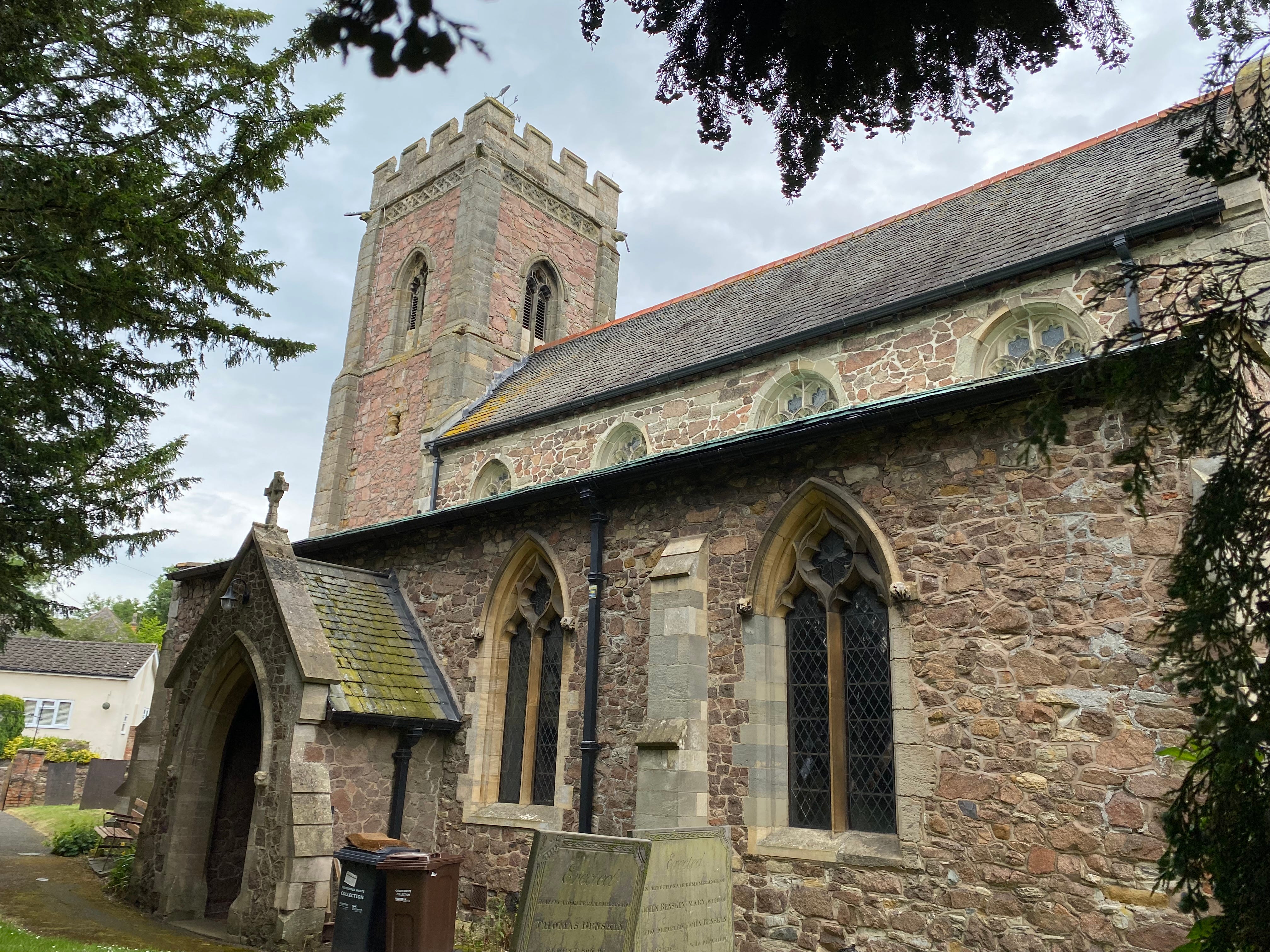
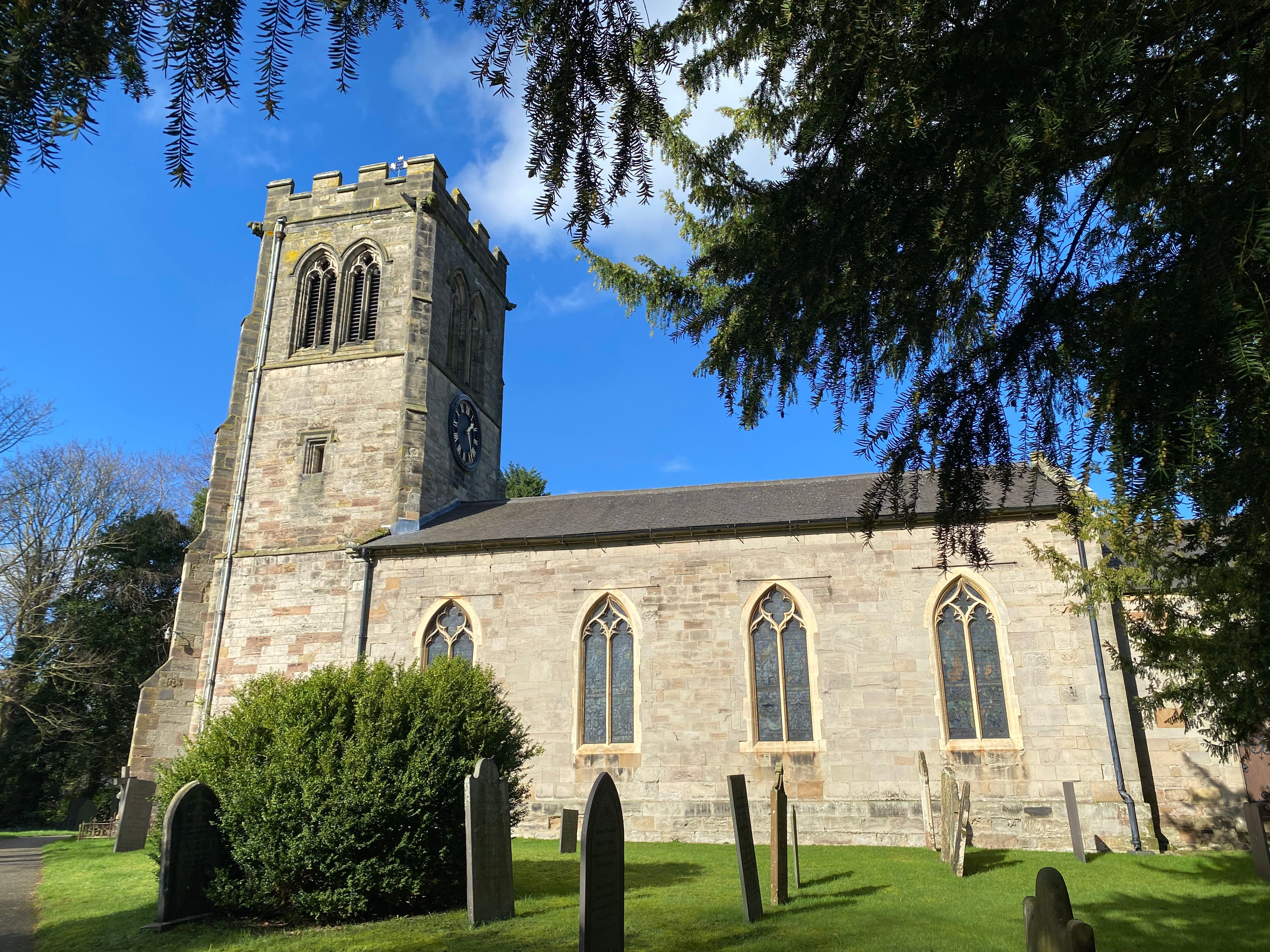
198. Scalford, north of Melton. This is thought to be the only church in the UK dedicated to the C7th St Egelwin (Æthelwine of Athelney), reputedly buried here. Scalford man William Brown was the last person executed in public at Leicester prison in 1856. Cricket commentator Jonathan Agnew lives here.

199. Scraptoft, east of Leicester. Cricketer AT Sharp (1889-1973), who played for Leicestershire from 1908-35, lived here. The White House, now a pub, was built in 1928 using stones from the demolished C18th Normanton Hall in Rutland. De Montfort University had a campus in Scraptoft Hall until 2003.
200. Seagrave, north of Leicester. Stephen de Segrave (c1171-1241), born here, was Constable of the Tower of London from 1203 and Henry III’s Chief Justiciar (chief Minister) from 1232-34. He was buried in Leicester Abbey. Leicester City Foothall Club’s training ground, opened in 2020, is south of the village.
201. Sewstern, east of Melton, and the county’s easternmost village. Sewstern Lane (aka ‘The Drift’), east of the village, is part of a route used since the Bronze Age, including by Scottish drovers taking cattle to London. It was superseded in the C17th by the Great North Road to the east.
Sewstern Lane carries the border with Lincolnshire for many miles, so I walked part of it (though not as far as Scotland, and not with cattle) in 2022 when I walked the Leicestershire border.

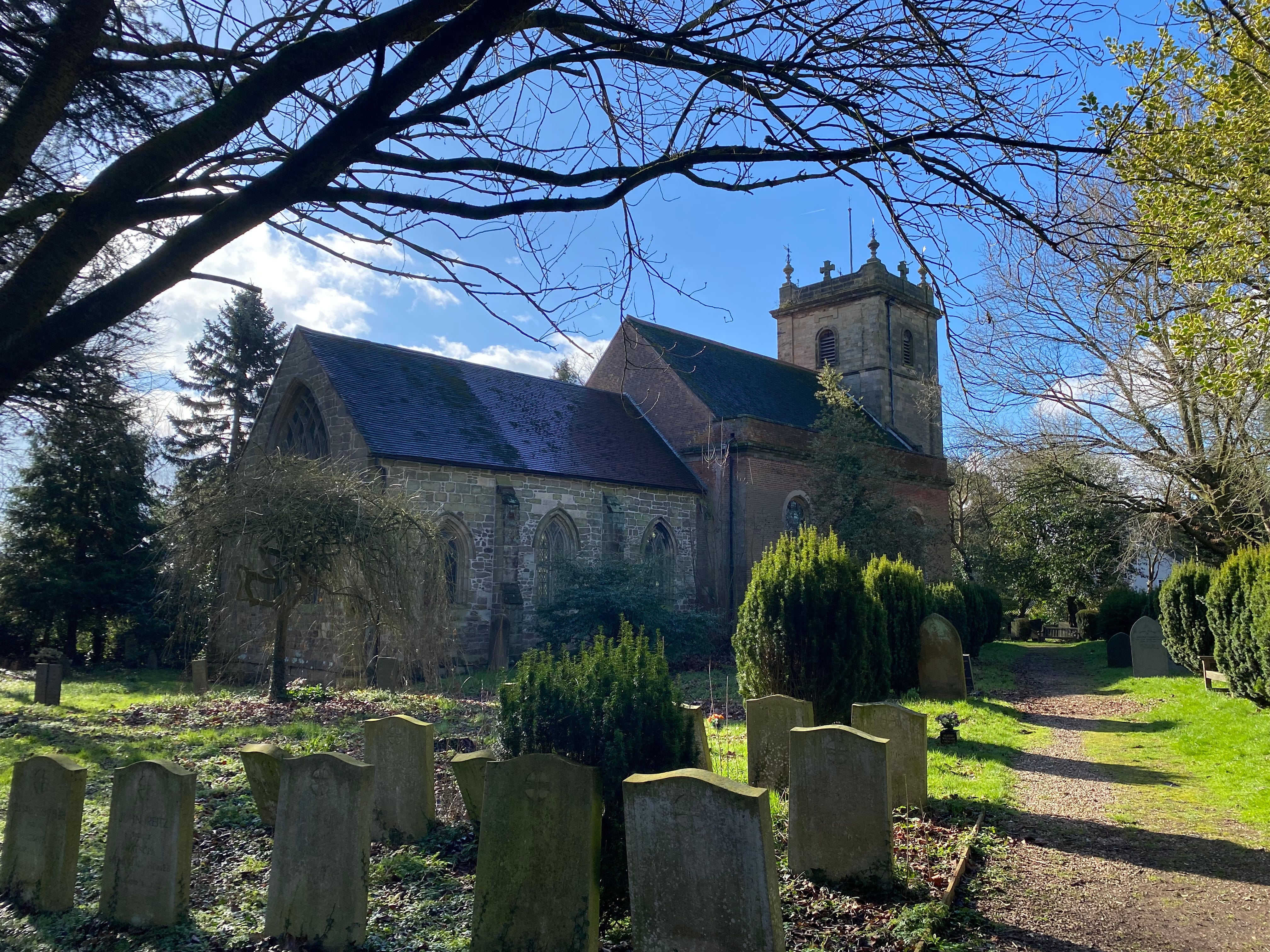
202. Shackerstone, north-west of Market Bosworth. In 1646, the Rev John Hodges, vicar here, was ejected for deserting to join the Civil War Royalist garrison at Ashby, and for frequenting an alehouse ‘with fidlers and singers’. The Battlefield Line heritage railway goes south from here to Shenton.
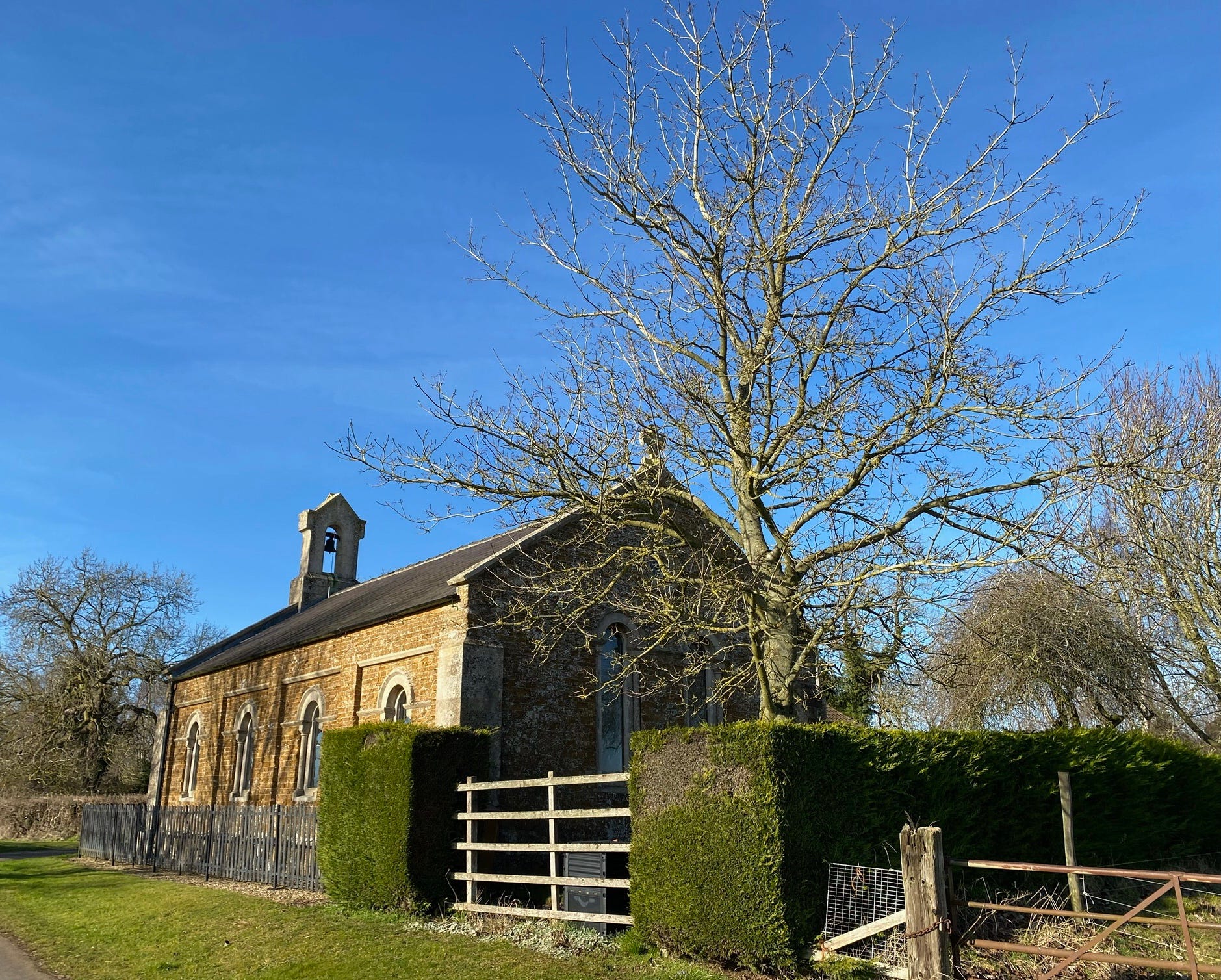
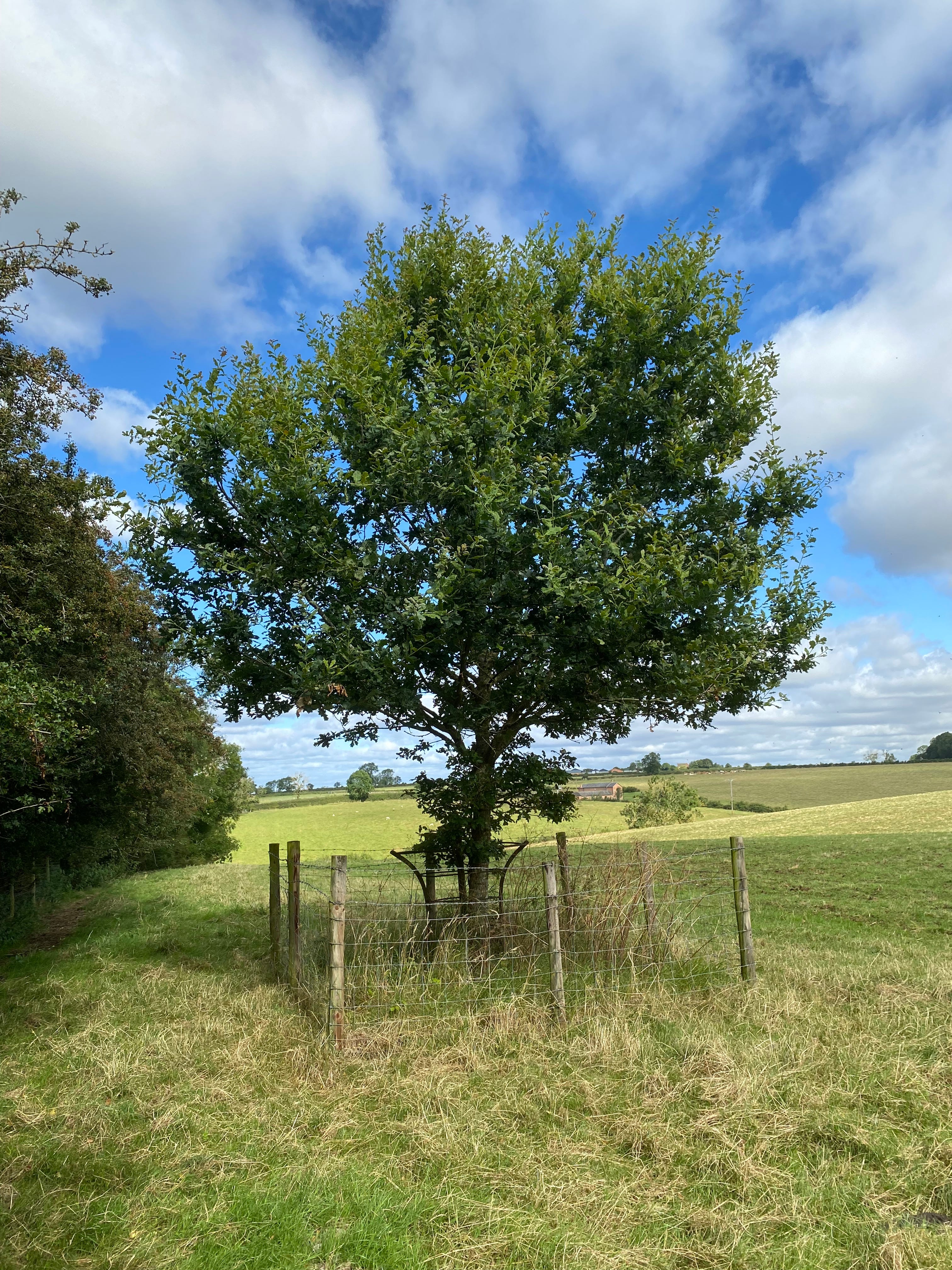
203. Shangton, south-east of Leicester, named after a spur of land formed by two streams (Old English scanca, meaning ‘shank’ or ‘leg’). The nearby Gartree Bush, by the Roman Via Devana, was the meeting place (‘moot’) until 1750 of the Gartree Hundred, overseeing justice and taxation in this part of the county.
Here is the site of the Gartree Bush today.
204. Sharnford, east of Hinckley. Scerneford, as it was known in the Domesday Book (a sceane is a muddy crossing over the River Soar) belonged to Wulfric Spot (d. c1010), the wealthy Earl of Mercia during the Danelaw, whose will is historically valuable. The church’s spire was removed in 1772.
205. Shawell, south of Lutterworth. A small C1st-C4th Roman town, Tripontium (‘Place of Three Bridges’), was situated south-west of the village, on Watling Street (now the A5). It had a public bathhouse and a mansio (inn) for travellers. Later there was a Norman Motte and Bailey castle south of the church.
206. Shearsby, south of Leicester. Legend has it that highwaymen John and Jane Ball robbed coaches climbing the hill to the east. One of the church’s bells was apparently kidnapped while stopped here on its way from Knaptoft to Aylestone. A nearby salt spring was noted for its medicinal virtues in the C19th.
207. Sheepy (Magna and Parva), west Leicestershire, recorded as Scepa and Scepehe in Domesday. There was a watermill on the River Sence here from Norman times until the 1990s. Like others in the area, the village provided quarter for - and lost horses to - the Coventry garrison during the Civil War.
208. Shenton, north-west of Hinckley. The Wollaston family bought the village in 1625, and owned it until World War 2. They built Shenton Hall, a brick mansion, in 1629; a school in 1858; and rebuilt the church in c1860. Leicester’s Humberstone Road station was moved brick-by-brick to become Shenton station on the Battlefield Line in the 1990s.
209. Sibson, west Leicestershire, was ‘Sibetesdone' in the Domesday Book and later 'Sybbedesdoune’. Peter Temple (1600-63), born here, was a signatory of Charles I’s death warrant; he died in the Tower of London. The early C18th highwayman Dick Turpin used the C13th Cock Inn to hide while working Watling Street.
210. Sileby, north of Leicester. The C13th Assize of Bread and Ale regulated price and quality, and was enforced locally through official Aletasters; in 1533 several Sileby women were fined two pence for breaking the Assize. Bricks made at William Tucker Wright & Co here were used to build St Pancras station.
211. Skeffington, east of Leicester. William Skeffington (c1465-1535), born here, was at the Field of the Cloth of Gold with Henry VIII, and was later Lord Deputy of Ireland (King’s representative). His son Leonard, Lieutenant of the Tower of London, invented the Scavenger’s Daughter, a torture rack.
212. Slawston, north-east of Market Harborough. Nearby Othorpe, bigger than Slawston at the time of the Domesday Book, was depopulated by the C15th. John Holyoake had a boarding school here in the early C18th, which had up to 20 'young gentlemen' from London and elsewhere. A C17th windmill burnt down in 1928.
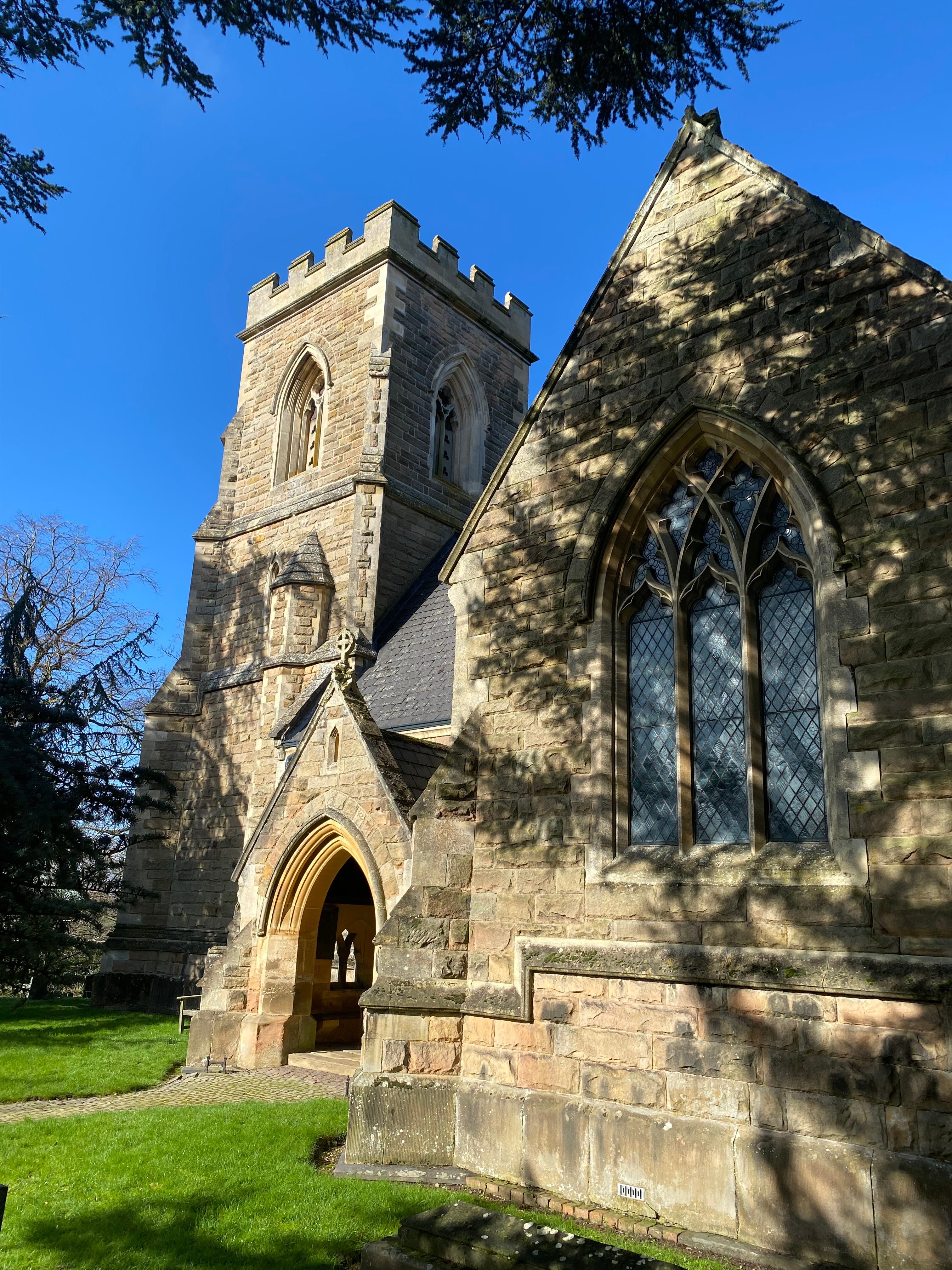
213. Smeeton Westerby, south-east of Leicester, was originally two hamlets, Smeeton and Westerby. In 1975 a late Neolithic (‘Bell-Beaker’ culture) burial site was found here, dating from about 2200BC. Christ Church was built in 1848-49, designed by Henry Woodyer (1816–1896), a Pugin disciple.

214. Snarestone, west Leicestershire. The Ashby Canal, opened 1804, goes 22 miles south of here to the Coventry Canal; the 8 miles to the north are shut due to mining subsidence, but are being restored. In 2017, Liverpool University academics calculated Snarestone as the population centre of Britain.
Previous instalments: ‘A’s, ‘B’s, ‘C’s, ‘D’s and ‘E’s, ‘F’s and ‘G’s, ‘H’s and ‘I’s, ‘K’s and ‘L’s, ‘M’s, ‘N’s and ‘O’s, and ‘P’s, ‘Q’s and ‘R’s. Next instalment: ‘S’s part 2.