
Walking the Northamptonshire Border

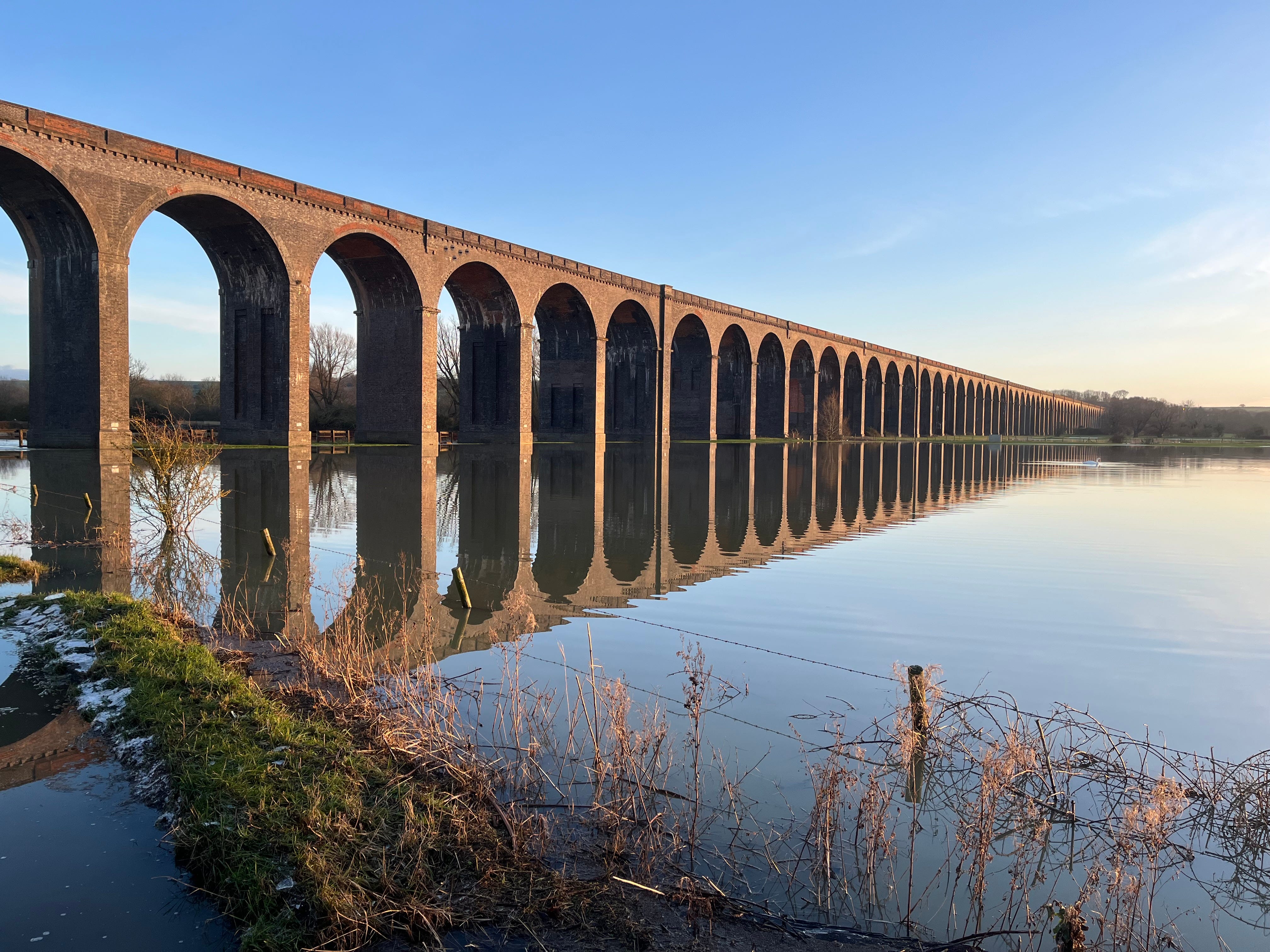
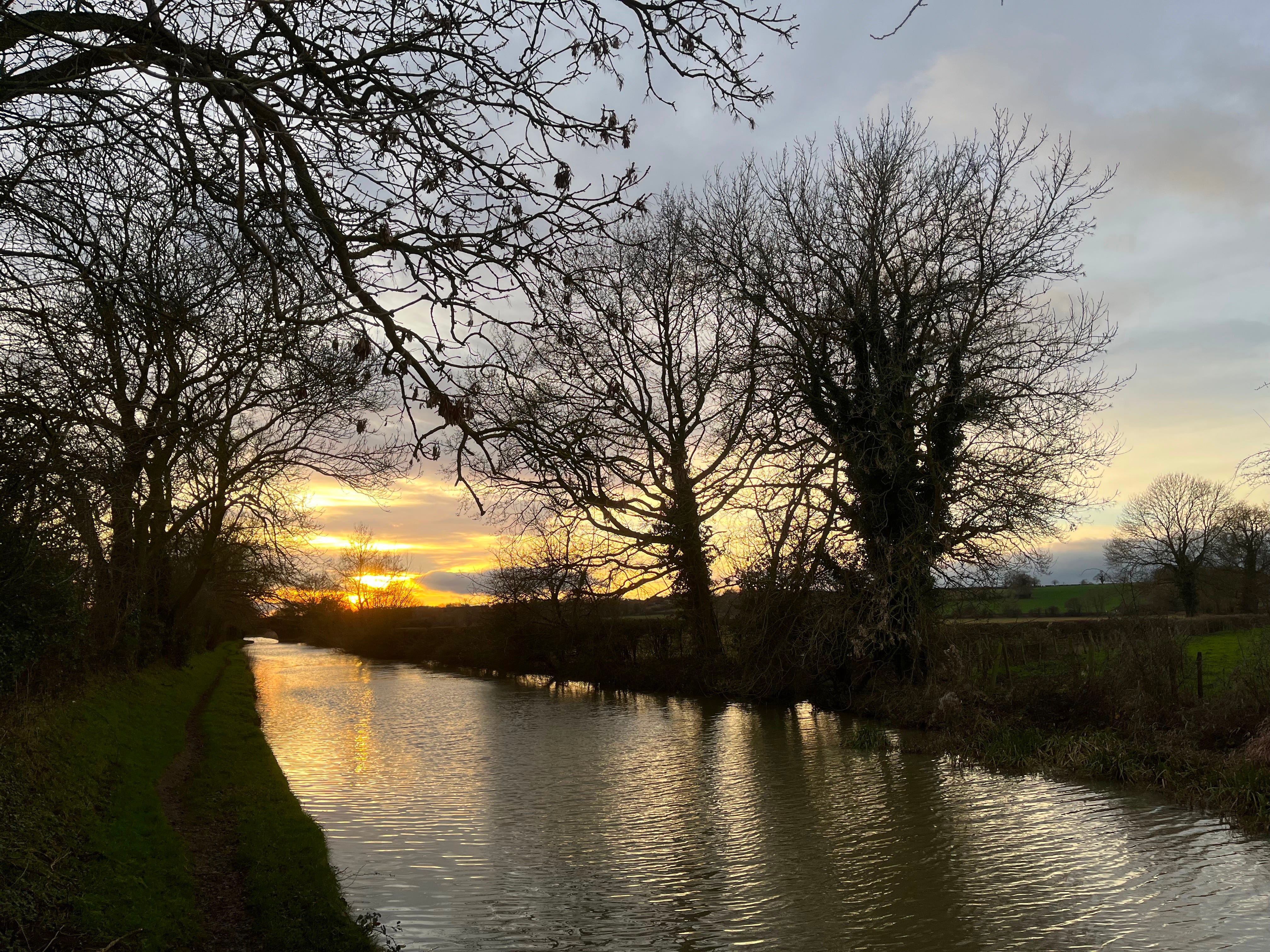
Yesterday I completed my challenge to walk the Northamptonshire border (why, you ask? - because it’s there I suppose, plus I’ve already done Leicestershire1). I walked past the Harringworth viaduct2 yesterday, which was getting its feet wetter than I’ve ever seen before, and was looking particularly fine tinged by the early sunset.
Northamptonshire is shaped like an oval tilted 45° to the right. It’s about 60 miles from Aynho at the south-west end (20 miles north of Oxford) to Easton-on-the-Hill at the north east end (30 miles east of Leicester). Aynho is nearer to Basingstoke in Hampshire, and Easton is nearer to Skegness on the Lincolnshire coast, than they are to each other. But the county is only about 25 miles across in the middle.
Since 2021, the ceremonial county of Northamptonshire has been divided into two parts for administrative purposes, with the border going north-south down the middle: West Northamptonshire includes Northampton itself, as well as Daventry, while the rather smaller North Northamptonshire includes Corby, where it has its administrative HQ, and Kettering and Wellingborough. This profusion of compass points means that Yardley Hastings is in south-east West Northamptonshire, and Easton-on-the-Hill is in north North Northamptonshire.
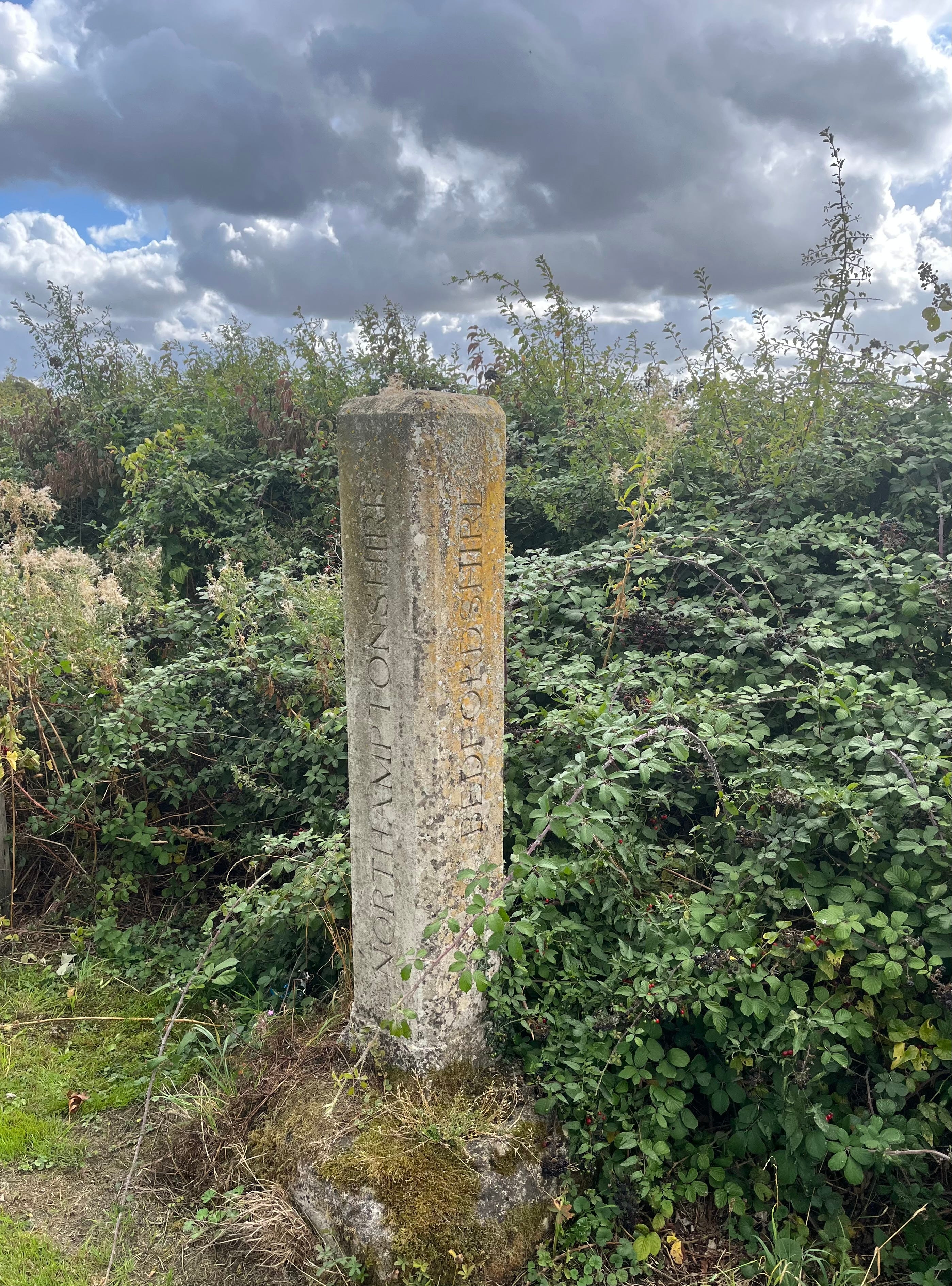
Northamptonshire borders eight other counties (depending how you count, the joint most of any English county): Leicestershire, Warwickshire, Oxfordshire, Buckinghamshire, Bedfordshire, Cambridgeshire, Lincolnshire and Rutland. The border with Lincolnshire, south-west of Stamford, is the shortest county border in the country, at only about 19 metres long3.
I started walking the border in earnest in summer 2024, at which point I’d already walked Northamptonshire’s border with Leicestershire and some of its border with Rutland to the east. I then worked my way round anticlockwise, completing Northamptonshire’s western border by the end of 2024, going south of Rugby, and doing a lot of walking along the Oxford canal4, including through Banbury.
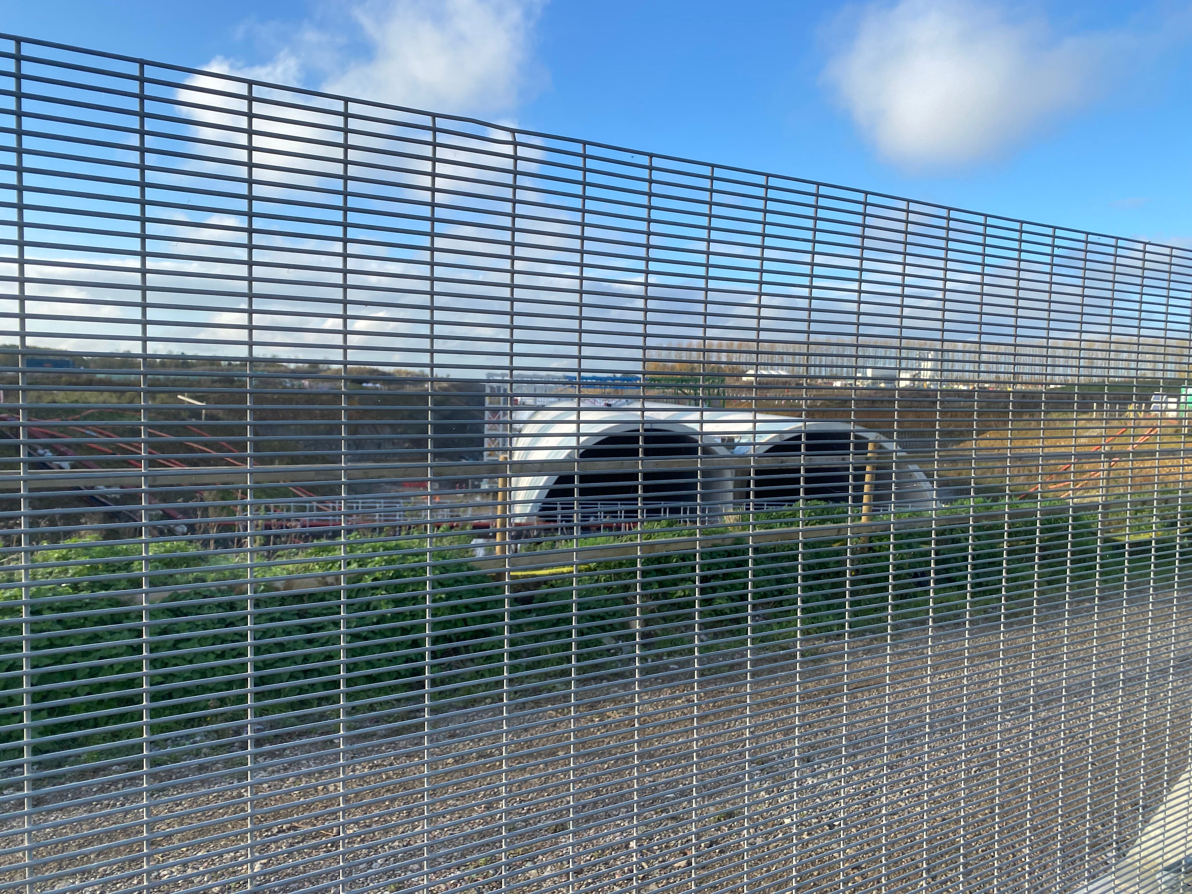
The HS2 route cuts across the south-west corner of the county, and caused some disruption to my plans as it inevitable led to footpaths and roads being closed (not always with great signposting). One walk in particular ended up being several miles longer than planned, as I looked to try and find a way across the vast scar it created.
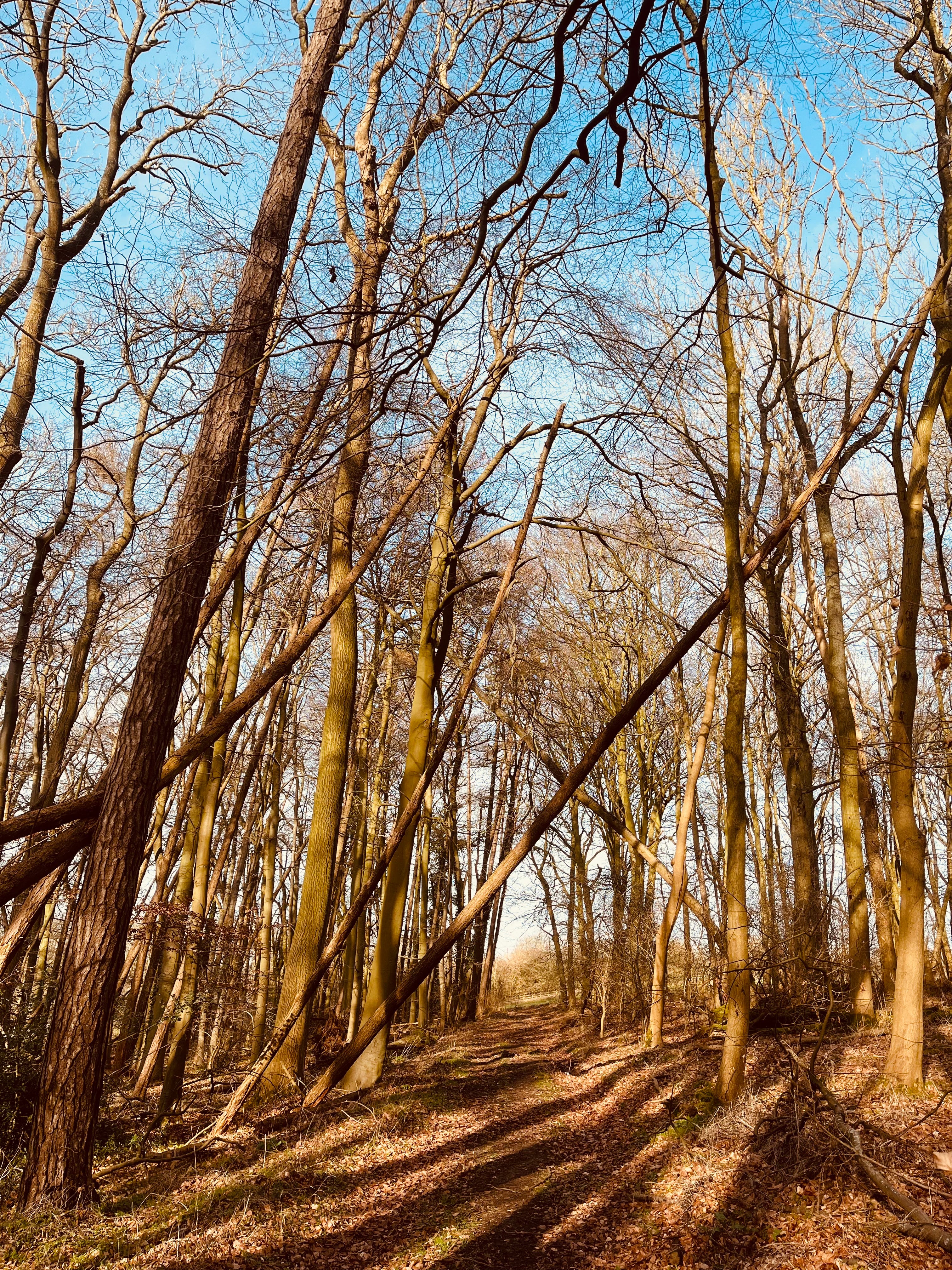
Last year I worked my way up the south/east border, past RAF Croughton, through Brackley (more HS2 there), Stony Stratford north-west of Milton Keynes, and Rushden.
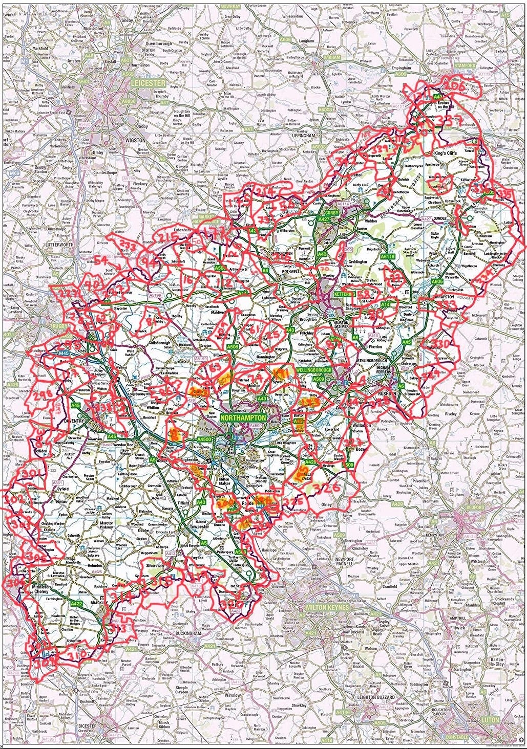
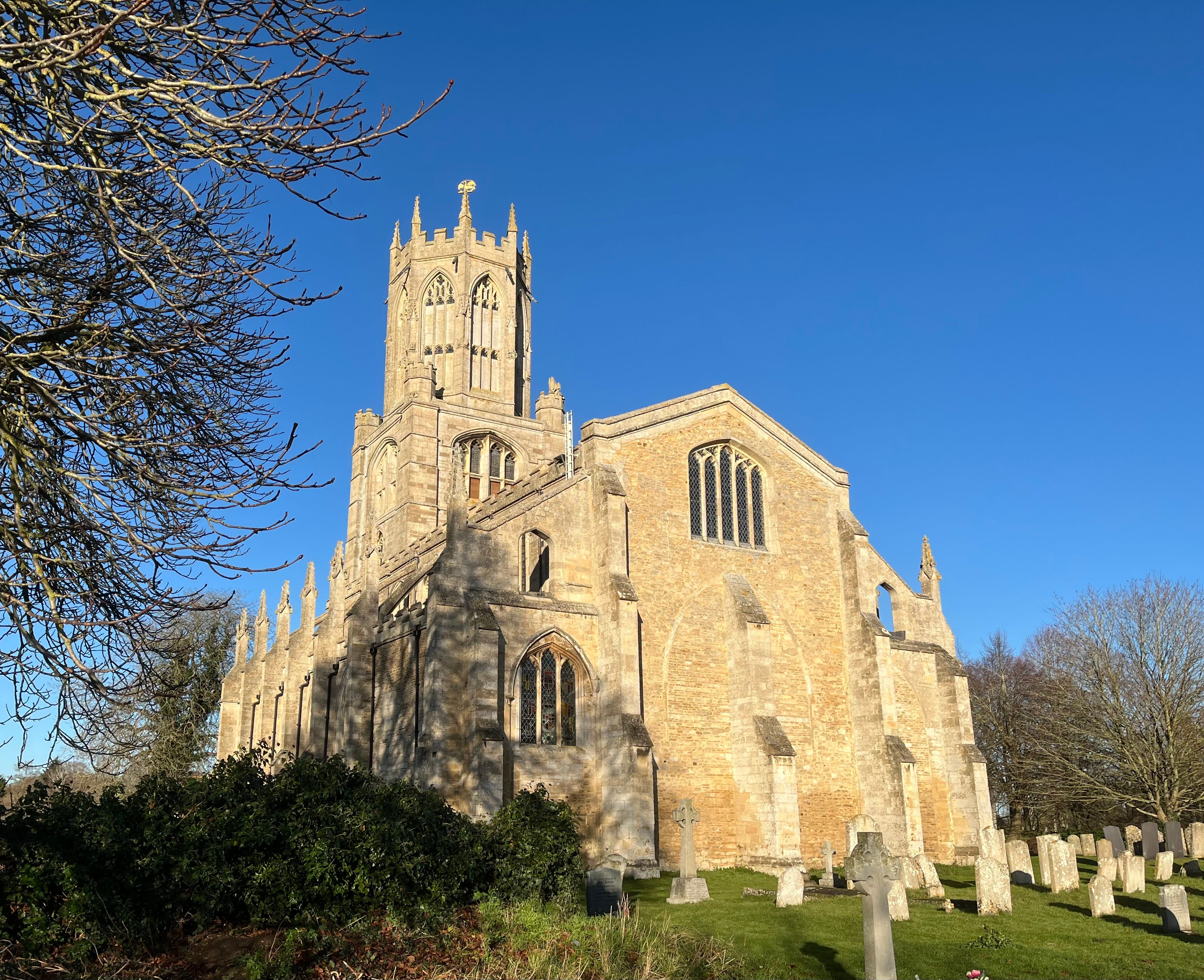
I live-posted a walk from Silverstone, and at Salcey Wood overlapped with the Northamptonshire Round (which, despite the name, really just goes round Northampton - see map above) which I completed about four years ago. In more remote east Northamptonshire towards the end of last year I negotiated a flooded River Nene and admired the church at historic Fotheringhay5.
In a few places, such as east of Bozeat and south of the delightfully-named Luddington-in-the-Brook, it is possible to walk along the border itself. Mostly, though, the border goes across private land, so I divided it into sections which I then walked round, choosing interesting rather than efficient routes and visiting nearby villages and other sites.
In total my border walks therefore added up to several times the length of the border itself (which I guess is about 200-300 miles): my border challenge involved 54 walks totalling 718 miles.
My next challenge is to finish walking the Leicester Line of the Grand Union canal (which will surprise no one who has been following my recent pieces here), and then start working my way through the Northamptonshire villages (I have visited about half of the 280 or so already).
Watch this space…
Harringworth viaduct is 1,275 yards long, has 82 arches (I couldn’t get them all into the photo), and is the longest masonry viaduct in the UK - it was completed in 1878 and is still in use (you can go across it if you get one of the occasional trains between Corby and Melton Mowbray - there’s currently one each way each day).
The Oxford Canal goes from Oxford north up to Coventry via Banbury and Rugby, often getting quite close to the Northampton county border as it does so, so it regularly provided a useful route for border walks. Incidentally, for a few miles between Braunston Junction and Napton Junction, the Grand Union canal merges with the Oxford Canal before heading up to Birmingham.
I wrote these reflections when I got to 1,000 miles last year, which I did walking along the border near Oundle.